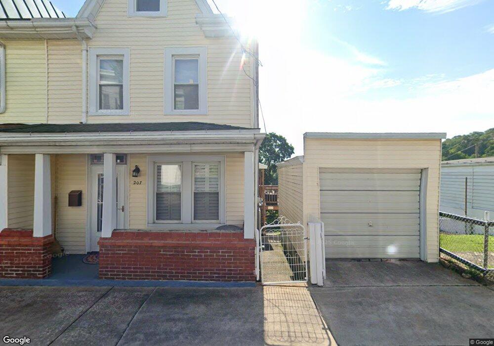
207 Arnot St Saint Clair, PA 17970
Estimated Value: $101,621 - $165,000
3
Beds
1
Bath
1,520
Sq Ft
$87/Sq Ft
Est. Value
About This Home
This home is located at 207 Arnot St, Saint Clair, PA 17970 and is currently estimated at $131,655, approximately $86 per square foot. 207 Arnot St is a home located in Schuylkill County with nearby schools including Saint Clair Area Elementary/Middle School, Gillingham Charter School, and ASSUMPTION BVM SCHOOL.
Ownership History
Date
Name
Owned For
Owner Type
Purchase Details
Closed on
Oct 21, 2024
Sold by
Filanowski John F and Filanowski Connie V
Bought by
Matulevich John A and Matulevich Angel L
Current Estimated Value
Home Financials for this Owner
Home Financials are based on the most recent Mortgage that was taken out on this home.
Original Mortgage
$120,000
Outstanding Balance
$118,738
Interest Rate
6.35%
Mortgage Type
Seller Take Back
Estimated Equity
$12,917
Purchase Details
Closed on
Jul 16, 2007
Sold by
Filanowski Joseph and Filanowski Anna
Bought by
Filanowski John F and Filanowski Connie
Create a Home Valuation Report for This Property
The Home Valuation Report is an in-depth analysis detailing your home's value as well as a comparison with similar homes in the area
Home Values in the Area
Average Home Value in this Area
Purchase History
| Date | Buyer | Sale Price | Title Company |
|---|---|---|---|
| Matulevich John A | $125,000 | Penn National Abstract Service | |
| Filanowski John F | -- | None Available |
Source: Public Records
Mortgage History
| Date | Status | Borrower | Loan Amount |
|---|---|---|---|
| Open | Matulevich John A | $120,000 |
Source: Public Records
Tax History
| Year | Tax Paid | Tax Assessment Tax Assessment Total Assessment is a certain percentage of the fair market value that is determined by local assessors to be the total taxable value of land and additions on the property. | Land | Improvement |
|---|---|---|---|---|
| 2025 | $1,181 | $17,965 | $3,600 | $14,365 |
| 2024 | $1,105 | $17,965 | $3,600 | $14,365 |
| 2023 | $1,051 | $17,965 | $3,600 | $14,365 |
| 2022 | $1,051 | $17,965 | $3,600 | $14,365 |
| 2021 | $1,062 | $17,965 | $3,600 | $14,365 |
| 2020 | $1,062 | $17,965 | $3,600 | $14,365 |
| 2018 | $1,040 | $17,965 | $3,600 | $14,365 |
| 2017 | $1,000 | $17,965 | $3,600 | $14,365 |
| 2015 | -- | $17,965 | $3,600 | $14,365 |
| 2011 | -- | $17,965 | $0 | $0 |
Source: Public Records
Map
Nearby Homes
- 108 Cherry St
- 117 Chestnut St
- 32 S Front St
- 219 S 3rd St
- 0, 305, 307 S 2nd St
- 331 S 2nd St
- 141 S Nicholas St
- 320 S Mill St
- 1 S Front St Thwing St
- Lot 30 Elmwood Ct
- 0 - Lot 10 Elmwood Ct Unit 10
- 714 Port Carbon Saint Clair Hwy
- 0 Caroline Ave Unit PASK2022658
- 702 & 698 Port Carbon St Clair Hwy
- 15 Marcello Dr
- 11 Bryn Mawr Ave
- 935 N Centre St
- 758 Walnut St
- 143 W Railroad St
- 0 Schuylkill Manor Rd Unit PASK2018142
Your Personal Tour Guide
Ask me questions while you tour the home.