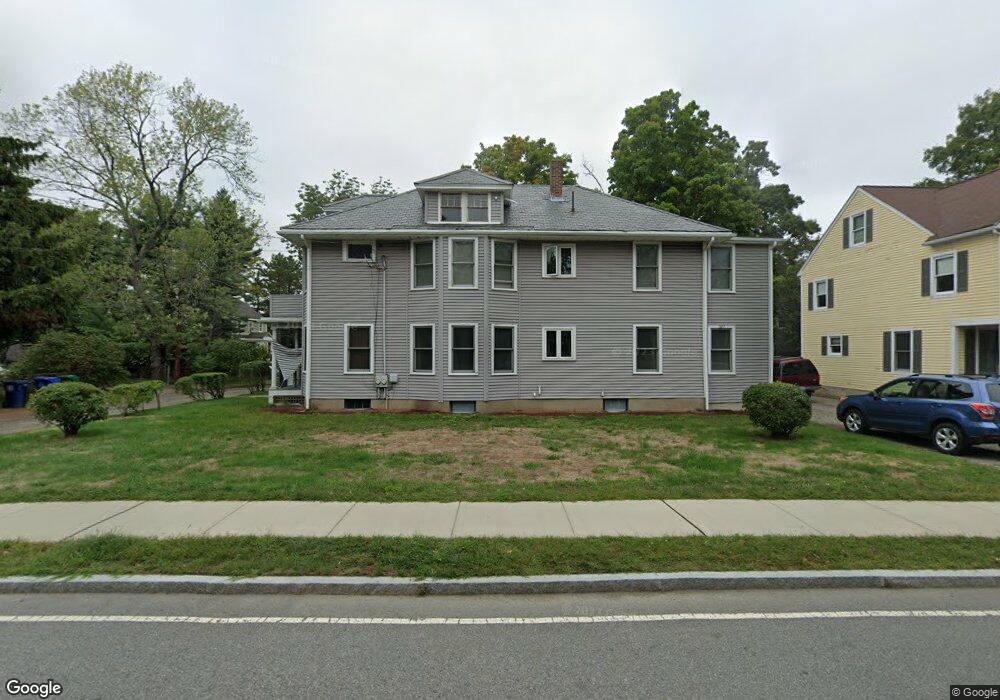
207 Auburn St Unit 2 Auburndale, MA 02466
Auburndale NeighborhoodEstimated Value: $1,304,000 - $1,551,581
2
Beds
1
Bath
1,190
Sq Ft
$1,172/Sq Ft
Est. Value
About This Home
This home is located at 207 Auburn St Unit 2, Auburndale, MA 02466 and is currently estimated at $1,394,395, approximately $1,171 per square foot. 207 Auburn St Unit 2 is a home located in Middlesex County with nearby schools including Williams Elementary School, Charles E Brown Middle School, and Newton South High School.
Ownership History
Date
Name
Owned For
Owner Type
Purchase Details
Closed on
Jan 16, 2001
Sold by
Connelly Mary J
Bought by
Tjk Rt
Current Estimated Value
Home Financials for this Owner
Home Financials are based on the most recent Mortgage that was taken out on this home.
Original Mortgage
$270,000
Outstanding Balance
$100,343
Interest Rate
7.64%
Mortgage Type
Purchase Money Mortgage
Estimated Equity
$1,294,052
Create a Home Valuation Report for This Property
The Home Valuation Report is an in-depth analysis detailing your home's value as well as a comparison with similar homes in the area
Home Values in the Area
Average Home Value in this Area
Purchase History
| Date | Buyer | Sale Price | Title Company |
|---|---|---|---|
| Tjk Rt | $400,000 | -- |
Source: Public Records
Mortgage History
| Date | Status | Borrower | Loan Amount |
|---|---|---|---|
| Open | Tjk Rt | $100,000 | |
| Open | Tjk Rt | $270,000 |
Source: Public Records
Tax History Compared to Growth
Tax History
| Year | Tax Paid | Tax Assessment Tax Assessment Total Assessment is a certain percentage of the fair market value that is determined by local assessors to be the total taxable value of land and additions on the property. | Land | Improvement |
|---|---|---|---|---|
| 2025 | $10,920 | $1,114,300 | $740,900 | $373,400 |
| 2024 | $10,558 | $1,081,800 | $719,300 | $362,500 |
| 2023 | $10,178 | $999,800 | $586,400 | $413,400 |
| 2022 | $9,738 | $925,700 | $543,000 | $382,700 |
| 2021 | $9,138 | $849,300 | $498,200 | $351,100 |
| 2020 | $8,867 | $849,300 | $498,200 | $351,100 |
| 2019 | $9,150 | $793,700 | $465,600 | $328,100 |
| 2018 | $8,245 | $762,000 | $440,000 | $322,000 |
| 2017 | $7,774 | $699,100 | $403,700 | $295,400 |
| 2016 | $7,299 | $641,400 | $370,400 | $271,000 |
| 2015 | $6,959 | $599,400 | $346,200 | $253,200 |
Source: Public Records
Map
Nearby Homes
- 226 Auburn St Unit 226
- 224 Auburn St Unit 224
- 224 Auburn St Unit A
- 62-64 Rowe St Unit B
- 13 Weir St
- 283 Melrose St
- 17 Lasell St
- 17 Crescent St
- 51 Bourne St
- 2202 Commonwealth Ave Unit 2
- 2202 Commonwealth Ave Unit 1
- 17 Gilbert St
- 1639 Washington St
- 160 Pine St Unit 12
- 283 Woodland Rd
- 10 Crescent St Unit 1
- 10 Crescent St Unit 2
- 0 Duncan Rd Unit 72925240
- 1754 Washington St
- 49 Staniford St
- 207 Auburn St
- 201 Auburn St
- 11 Sherman Place
- 215 Auburn St
- 131 Rand Terrace
- 133 Rand Terrace
- 133 Rand Terrace Unit 133
- 133 Rand Terrace
- 195 Auburn St
- 195 Auburn St Unit 2
- 12 Sherman Place
- 197 Auburn St
- 135 Rand Terrace Unit 137
- 137 Rand Terrace
- 137 Rand Terrace Unit 1
- 221 Auburn St Unit 2
- 221 Auburn St Unit 1
- 221 Auburn St
- 221 Auburn St Unit 221
- 20 Fern St