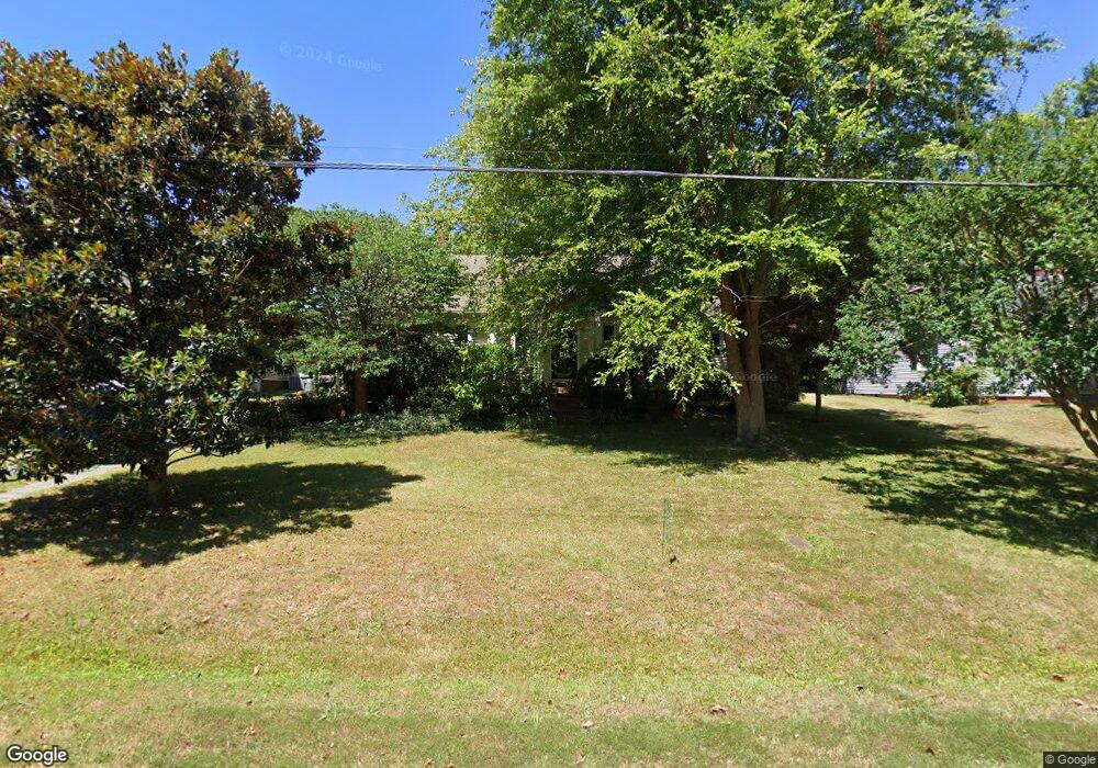
207 Bossong Dr Asheboro, NC 27205
Estimated Value: $182,753 - $237,000
Studio
1
Bath
1,492
Sq Ft
$142/Sq Ft
Est. Value
About This Home
This home is located at 207 Bossong Dr, Asheboro, NC 27205 and is currently estimated at $211,188, approximately $141 per square foot. 207 Bossong Dr is a home located in Randolph County with nearby schools including Donna L. Loflin Elementary School, North Asheboro Middle School, and Asheboro High School.
Ownership History
Date
Name
Owned For
Owner Type
Purchase Details
Closed on
Sep 12, 2005
Sold by
Lanier Bradley N and Lanier Laura Gwyn
Bought by
Lewis Robert W and Lewis Deborah
Current Estimated Value
Home Financials for this Owner
Home Financials are based on the most recent Mortgage that was taken out on this home.
Original Mortgage
$91,648
Outstanding Balance
$52,507
Interest Rate
7.1%
Mortgage Type
Fannie Mae Freddie Mac
Estimated Equity
$158,681
Create a Home Valuation Report for This Property
The Home Valuation Report is an in-depth analysis detailing your home's value as well as a comparison with similar homes in the area
Home Values in the Area
Average Home Value in this Area
Purchase History
| Date | Buyer | Sale Price | Title Company |
|---|---|---|---|
| Lewis Robert W | $115,000 | -- |
Source: Public Records
Mortgage History
| Date | Status | Borrower | Loan Amount |
|---|---|---|---|
| Open | Lewis Robert W | $91,648 |
Source: Public Records
Tax History
| Year | Tax Paid | Tax Assessment Tax Assessment Total Assessment is a certain percentage of the fair market value that is determined by local assessors to be the total taxable value of land and additions on the property. | Land | Improvement |
|---|---|---|---|---|
| 2025 | $1,740 | $131,270 | $20,350 | $110,920 |
| 2024 | $1,755 | $131,270 | $20,350 | $110,920 |
| 2023 | $1,755 | $131,270 | $20,350 | $110,920 |
| 2022 | $1,429 | $98,090 | $20,350 | $77,740 |
| 2021 | $1,429 | $98,090 | $20,350 | $77,740 |
| 2020 | $1,429 | $98,090 | $20,350 | $77,740 |
| 2019 | $1,429 | $98,090 | $20,350 | $77,740 |
| 2018 | $1,406 | $95,120 | $17,600 | $77,520 |
| 2016 | $1,406 | $95,120 | $17,600 | $77,520 |
| 2015 | $1,409 | $95,120 | $17,600 | $77,520 |
| 2014 | $1,375 | $95,120 | $17,600 | $77,520 |
Source: Public Records
Map
Nearby Homes
- 0 Oakhurst Dr
- 1254 Sunset Dr
- 621 Mountain Rd
- 705 Mountain Rd
- 0 Chestnut St Unit 17-19
- 0 Chestnut St Unit 1213142
- 908 Bunting Rd
- 711 Sunset Ave Unit E
- 866 Mountain Rd
- 314 Pershing St
- 1582 Westmont Dr
- 1011 Westmont Dr
- 135 Dixon St
- 0000 Little Gate Dr
- TBD Oakland Ave
- 806 Windermere Ct
- 937 Chamberlin Dr
- 520 W Kivett St
- 278 Westminster Ct
- 627 Lee St
Your Personal Tour Guide
Ask me questions while you tour the home.