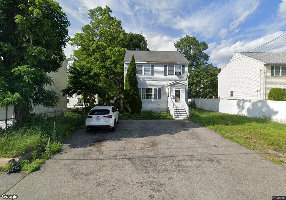
207 Branch St Lowell, MA 01851
Lower Highlands NeighborhoodEstimated Value: $456,000 - $538,010
3
Beds
2
Baths
1,576
Sq Ft
$321/Sq Ft
Est. Value
About This Home
This home is located at 207 Branch St, Lowell, MA 01851 and is currently estimated at $506,503, approximately $321 per square foot. 207 Branch St is a home located in Middlesex County with nearby schools including Charles W. Morey Elementary School, Abraham Lincoln Elementary School, and Charlotte M. Murkland Elementary School.
Ownership History
Date
Name
Owned For
Owner Type
Purchase Details
Closed on
Dec 10, 2015
Sold by
Duong Ngoc B and Duong Bao N
Bought by
Phan My
Current Estimated Value
Purchase Details
Closed on
Sep 18, 1997
Sold by
Scenic View Drive Rt and Sullivan Mark
Bought by
Tran Long Hu
Create a Home Valuation Report for This Property
The Home Valuation Report is an in-depth analysis detailing your home's value as well as a comparison with similar homes in the area
Home Values in the Area
Average Home Value in this Area
Purchase History
| Date | Buyer | Sale Price | Title Company |
|---|---|---|---|
| Phan My | $200,000 | -- | |
| Tran Long Hu | $105,000 | -- | |
| Tran Long Hu | $105,000 | -- |
Source: Public Records
Mortgage History
| Date | Status | Borrower | Loan Amount |
|---|---|---|---|
| Previous Owner | Tran Long Hu | $165,000 | |
| Previous Owner | Tran Long Hu | $127,000 | |
| Previous Owner | Tran Long Hu | $127,000 |
Source: Public Records
Tax History
| Year | Tax Paid | Tax Assessment Tax Assessment Total Assessment is a certain percentage of the fair market value that is determined by local assessors to be the total taxable value of land and additions on the property. | Land | Improvement |
|---|---|---|---|---|
| 2025 | $5,293 | $461,100 | $167,900 | $293,200 |
| 2024 | $5,290 | $444,200 | $151,000 | $293,200 |
| 2023 | $5,075 | $408,600 | $131,300 | $277,300 |
| 2022 | $4,579 | $360,800 | $119,400 | $241,400 |
| 2021 | $4,276 | $317,700 | $103,800 | $213,900 |
| 2020 | $3,948 | $295,500 | $90,700 | $204,800 |
| 2019 | $3,847 | $274,000 | $84,000 | $190,000 |
| 2018 | $3,770 | $262,000 | $76,500 | $185,500 |
| 2017 | $3,760 | $252,000 | $69,600 | $182,400 |
| 2016 | $3,378 | $222,800 | $66,300 | $156,500 |
| 2015 | $3,220 | $208,000 | $67,800 | $140,200 |
| 2013 | $3,100 | $206,500 | $81,100 | $125,400 |
Source: Public Records
Map
Nearby Homes
- 19 Lawton St
- 3 Butman Place
- 312 Wilder St
- 490 School St Unit 2
- 23 Hillcrest Dr
- 21 Kimball Ave
- 42 Branch St
- 68 Smith St
- 11 Warwick St Unit 3
- 206 Cross St
- 45 Harvard St Unit 5 3rd fl
- 45 Marshall St
- 67 S Loring St
- 18 Burgess St
- 1280 Middlesex St
- 1311 Middlesex St
- 57 Wannalancit St Unit 6
- 94 D St
- 28 Liberty St
- 15 Varney St
- 201 Branch St
- 213 Branch St Unit D
- 213 Branch St Unit C
- 213 Branch St Unit B
- 213 Branch St Unit A
- 195 Branch St
- 1030 Middlesex St
- 219 Branch St
- 1024 Middlesex St
- 208 Branch St
- 200 Branch St
- 225 Branch St
- 1036 Middlesex St Unit 3
- 1036 Middlesex St Unit 1
- 1036 Middlesex St Unit 12
- 1036 Middlesex St Unit 11
- 1036 Middlesex St Unit 10
- 1036 Middlesex St Unit 9
- 1036 Middlesex St Unit 8
- 1036 Middlesex St Unit 7