207 Center Rd Woodstock, CT 06281
Estimated Value: $417,000 - $585,000
3
Beds
3
Baths
1,864
Sq Ft
$269/Sq Ft
Est. Value
About This Home
This home is located at 207 Center Rd, Woodstock, CT 06281 and is currently estimated at $501,626, approximately $269 per square foot. 207 Center Rd is a home located in Windham County with nearby schools including Woodstock Elementary School and Woodstock Middle School.
Ownership History
Date
Name
Owned For
Owner Type
Purchase Details
Closed on
Aug 24, 1995
Sold by
Durst Doris W
Bought by
Wojciechowski Shawn M and Plouffe Karen
Current Estimated Value
Home Financials for this Owner
Home Financials are based on the most recent Mortgage that was taken out on this home.
Original Mortgage
$112,000
Interest Rate
6.99%
Mortgage Type
Purchase Money Mortgage
Create a Home Valuation Report for This Property
The Home Valuation Report is an in-depth analysis detailing your home's value as well as a comparison with similar homes in the area
Home Values in the Area
Average Home Value in this Area
Purchase History
| Date | Buyer | Sale Price | Title Company |
|---|---|---|---|
| Wojciechowski Shawn M | $29,700 | -- |
Source: Public Records
Mortgage History
| Date | Status | Borrower | Loan Amount |
|---|---|---|---|
| Open | Wojciechowski Shawn M | $36,000 | |
| Open | Wojciechowski Shawn M | $90,000 | |
| Closed | Wojciechowski Shawn M | $122,000 | |
| Closed | Wojciechowski Shawn M | $112,000 |
Source: Public Records
Tax History Compared to Growth
Tax History
| Year | Tax Paid | Tax Assessment Tax Assessment Total Assessment is a certain percentage of the fair market value that is determined by local assessors to be the total taxable value of land and additions on the property. | Land | Improvement |
|---|---|---|---|---|
| 2024 | $6,027 | $261,600 | $42,100 | $219,500 |
| 2023 | $5,862 | $261,600 | $42,100 | $219,500 |
| 2022 | $5,454 | $261,600 | $42,100 | $219,500 |
| 2021 | $5,819 | $228,200 | $42,100 | $186,100 |
| 2020 | $5,027 | $205,200 | $42,100 | $163,100 |
| 2019 | $5,027 | $205,200 | $42,100 | $163,100 |
| 2018 | $5,027 | $205,200 | $42,100 | $163,100 |
| 2017 | $4,986 | $205,200 | $42,100 | $163,100 |
| 2016 | $5,181 | $215,500 | $49,100 | $166,400 |
| 2015 | $5,034 | $215,500 | $49,100 | $166,400 |
| 2014 | $4,978 | $215,500 | $49,100 | $166,400 |
Source: Public Records
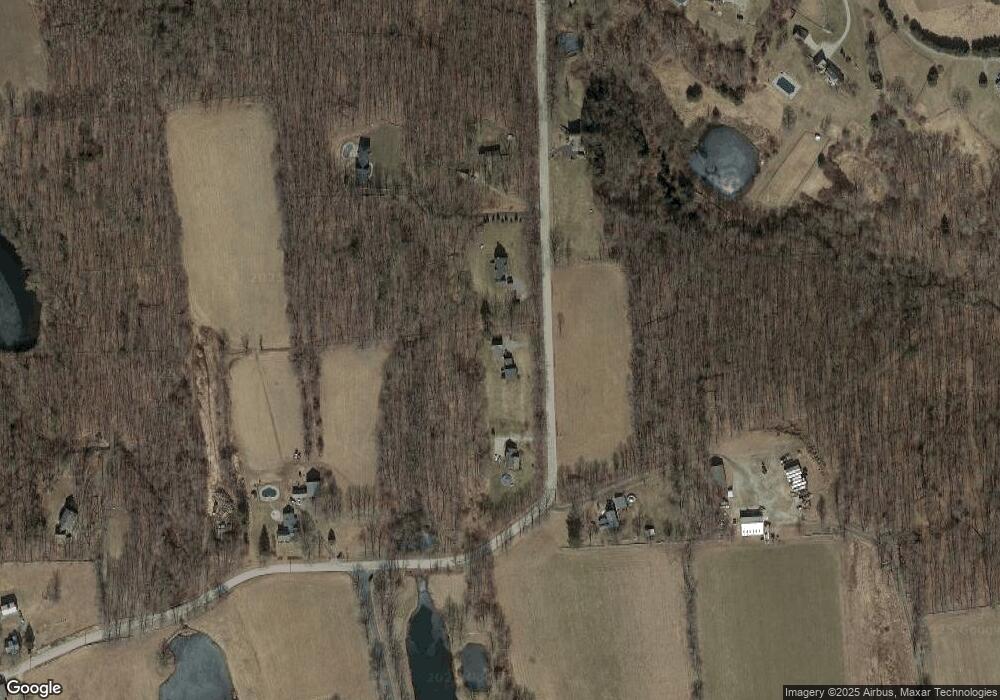
Map
Nearby Homes
- 189 Center Rd
- 328 County Rd
- 101 Center Rd
- 31 Deer Meadow Ln
- 0 Center Rd
- 0 Aplin Hill Ln
- 69 Lyon Hill Rd
- 00 Joy Rd
- 00 Route 171 Unit Lot 1
- 1200 Route 171
- 175 Pulpit Rock Rd
- 0 Connecticut 169
- 0 Connecticut 171
- 4 Perrin Rd
- 170 Lyon Hill Rd
- 1 Laurel Hill Dr
- 80 Bungay Hill Rd
- 10 Laurel Hill Dr
- 56 Laurel Hill Dr
- 70 Laurel Hill Dr
- #92 Meadowside
- 53 Meadowside
- 16 Meadowside
- 0 Withheld at Owner's Request Unit 71439629
- 105 Reservoir Rd
- Lot 59 Oak Dr
- 209 Center Rd
- 208 Hemlock Dr
- 120 Beaver Dam Rd Unit 1
- 1072 Rt 171
- 0 Route 89 Ashford Ct Unit 30558828
- 3.3 Westford Rd Ashford C
- 224 Center Rd
- 185 Center Rd
- 170 Center Rd
- 247 Center Rd
- 175 Center Rd
- 1,2,3,4 Robins Ln
- 2 Robins Ln
- 3 Robins Ln