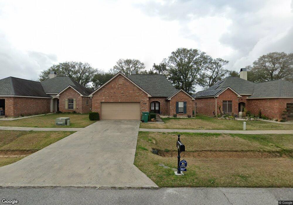
207 Colchester Dr Broussard, LA 70518
Estimated Value: $217,000 - $224,000
3
Beds
2
Baths
1,444
Sq Ft
$152/Sq Ft
Est. Value
About This Home
This home is located at 207 Colchester Dr, Broussard, LA 70518 and is currently estimated at $219,376, approximately $151 per square foot. 207 Colchester Dr is a home located in Lafayette Parish with nearby schools including Katharine Drexel Elementary School, Broussard Middle School, and O. Comeaux High School.
Ownership History
Date
Name
Owned For
Owner Type
Purchase Details
Closed on
Jul 14, 2014
Sold by
Dugas Frederick Wayne and Dugas Candace Caroline Clark
Bought by
Vidrine Colby Jacob
Current Estimated Value
Home Financials for this Owner
Home Financials are based on the most recent Mortgage that was taken out on this home.
Original Mortgage
$181,632
Outstanding Balance
$138,453
Interest Rate
4.18%
Mortgage Type
Unknown
Estimated Equity
$80,923
Purchase Details
Closed on
Oct 11, 2006
Sold by
Shivers Properties Inc
Bought by
Dugas Candace C and Dugas Frederick W
Create a Home Valuation Report for This Property
The Home Valuation Report is an in-depth analysis detailing your home's value as well as a comparison with similar homes in the area
Home Values in the Area
Average Home Value in this Area
Purchase History
| Date | Buyer | Sale Price | Title Company |
|---|---|---|---|
| Vidrine Colby Jacob | $178,000 | Stewart Title Guaranty | |
| Dugas Candace C | $167,000 | None Available |
Source: Public Records
Mortgage History
| Date | Status | Borrower | Loan Amount |
|---|---|---|---|
| Open | Vidrine Colby Jacob | $181,632 |
Source: Public Records
Tax History Compared to Growth
Tax History
| Year | Tax Paid | Tax Assessment Tax Assessment Total Assessment is a certain percentage of the fair market value that is determined by local assessors to be the total taxable value of land and additions on the property. | Land | Improvement |
|---|---|---|---|---|
| 2024 | $986 | $18,879 | $2,500 | $16,379 |
| 2023 | $986 | $16,550 | $2,500 | $14,050 |
| 2022 | $1,431 | $16,550 | $2,500 | $14,050 |
| 2021 | $1,437 | $16,550 | $2,500 | $14,050 |
| 2020 | $1,435 | $16,550 | $2,500 | $14,050 |
| 2019 | $746 | $16,550 | $2,500 | $14,050 |
| 2018 | $762 | $16,550 | $2,500 | $14,050 |
| 2017 | $761 | $16,550 | $2,500 | $14,050 |
| 2015 | $759 | $16,550 | $2,500 | $14,050 |
| 2013 | -- | $16,550 | $2,500 | $14,050 |
Source: Public Records
Map
Nearby Homes
- 108 Portsmouth Dr
- 100 N Eola Rd
- 102 Riesling Cir
- 214 Pear Tree Cir
- 104 Bismark Dr
- 501 Avenue B
- 4002 Highway 90 E
- 300 Avenue B
- 1036 Garber Rd
- Denton Plan at Oakmont
- Cali Plan at Oakmont
- Bellvue Plan at Oakmont
- Lakeview Plan at Oakmont
- Kingston Plan at Oakmont
- Huntsville Plan at Oakmont
- Fargo Plan at Oakmont
- Justin Plan at Oakmont
- 101 Snapping Ln
- 107 Snapping Ln
- 111 Tortoise Ln
- 205 Colchester Dr
- 209 Colchester Dr
- 203 Colchester Dr
- 211 Colchester Dr
- 201 Colchester Dr
- 204 Burgess Dr Unit B
- 204 Colchester Dr
- 206 Colchester Dr
- 202 Colchester Dr
- 208 Colchester Dr
- 215 Colchester Dr
- 200 Burgess Dr Unit A
- 200 Burgess Dr
- 206 Burgess Dr Unit A
- 206 Burgess Dr
- 210 Colchester Dr
- 115 Colchester Dr
- 205 Portsmouth Dr
- 207 Portsmouth Dr
- 203 Portsmouth Dr