Estimated Value: $231,000 - $392,000
3
Beds
2
Baths
2,546
Sq Ft
$123/Sq Ft
Est. Value
About This Home
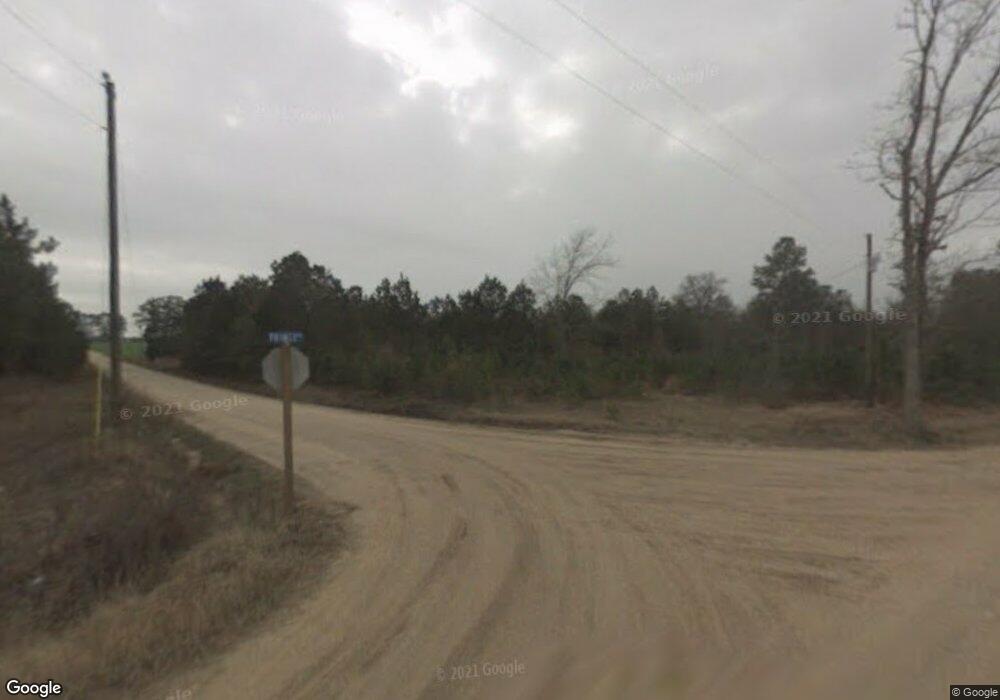
This home is located at 207 Cone Rd, Cairo, GA 39827 and is currently estimated at $313,608, approximately $123 per square foot. 207 Cone Rd is a home.
Ownership History
Date
Name
Owned For
Owner Type
Purchase Details
Closed on
Dec 4, 2023
Sold by
Cairo City
Bought by
Jones Quentin D
Current Estimated Value
Purchase Details
Closed on
Dec 21, 2021
Sold by
Jones Della M
Bought by
Jones Quentin and Jones Della M
Home Financials for this Owner
Home Financials are based on the most recent Mortgage that was taken out on this home.
Original Mortgage
$187,500
Interest Rate
3.12%
Mortgage Type
VA
Purchase Details
Closed on
Apr 12, 2010
Sold by
Mathis James S
Bought by
Jones Della M
Purchase Details
Closed on
Nov 21, 2001
Sold by
Cooper Durie
Bought by
Mathis James S
Create a Home Valuation Report for This Property
The Home Valuation Report is an in-depth analysis detailing your home's value as well as a comparison with similar homes in the area
Purchase History
| Date | Buyer | Sale Price | Title Company |
|---|---|---|---|
| Jones Quentin D | $900 | -- | |
| Jones Quentin | -- | -- | |
| Jones Quentin | -- | -- | |
| Jones Della M | $7,750 | -- | |
| Mathis James S | $10,900 | -- |
Source: Public Records
Mortgage History
| Date | Status | Borrower | Loan Amount |
|---|---|---|---|
| Previous Owner | Jones Quentin | $187,500 |
Source: Public Records
Tax History Compared to Growth
Tax History
| Year | Tax Paid | Tax Assessment Tax Assessment Total Assessment is a certain percentage of the fair market value that is determined by local assessors to be the total taxable value of land and additions on the property. | Land | Improvement |
|---|---|---|---|---|
| 2024 | -- | $112,211 | $2,964 | $109,246 |
| 2023 | $0 | $74,422 | $3,077 | $71,345 |
| 2022 | $2,229 | $74,422 | $3,077 | $71,345 |
| 2021 | $2,396 | $79,583 | $3,077 | $76,506 |
| 2020 | $2,244 | $74,422 | $3,077 | $71,345 |
| 2019 | $1,730 | $57,840 | $3,077 | $54,763 |
| 2018 | $1,624 | $57,840 | $3,077 | $54,763 |
| 2017 | $1,546 | $57,840 | $3,077 | $54,763 |
| 2016 | $1,291 | $48,354 | $3,077 | $45,277 |
| 2015 | $1,275 | $48,354 | $3,077 | $45,277 |
| 2014 | $1,277 | $48,354 | $3,077 | $45,277 |
| 2013 | -- | $46,415 | $4,665 | $41,750 |
Source: Public Records
Map
Nearby Homes
- 3136 State Route 188
- 1210 Elkins Rd
- 2427 Pierce Chapel Rd
- 414 Woodland Rd
- 1016 Richter Rd
- 0 State Route 188
- 00 State Route 188
- 241 Old Egg Rd
- 0 NE Airport Rd Unit 145784
- 3109 U S 84
- 3109 U S 84
- 105 Woodridge Ln
- 158 Woodridge Ln
- 161 Evergreen Ln
- 2600 U S 84
- 78.6 Ac Strickland Rd
- 264 Woodridge Ln
- 00 NW 9th Ave
- 21 24th St NE
- 281 Virginia Cir
- 177 Cone Rd
- 614 Prince Rd
- 646 Prince Rd
- 3121 Ga Highway 188 N
- 3111 Ga Highway 188 N
- 671 Prince Rd
- 663 Prince Rd
- 474 Prince Rd
- 689 Prince Rd
- 682 Prince Rd
- 3136 Ga Highway 188 N
- 3218 Ga Highway 188 N
- 3154 Ga Highway 188 N
- 3108 Ga Highway 188 N
- 3108 State Route 188
- 410 Prince Rd
- 3273 State Route 188
- 3273 Ga Highway 188 N
- 3264 Ga Highway 188 N
- 3062 Ga Highway 188 N
