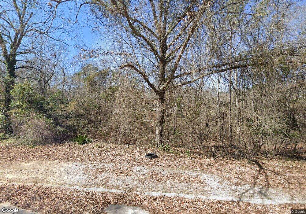
207 Custer Dr Warner Robins, GA 31093
Estimated Value: $84,000 - $244,000
Studio
--
Bath
--
Sq Ft
16,553
Sq Ft Lot
About This Home
This home is located at 207 Custer Dr, Warner Robins, GA 31093 and is currently estimated at $150,667. 207 Custer Dr is a home located in Houston County with nearby schools including Northside Elementary School, Northside Middle School, and Northside High School.
Ownership History
Date
Name
Owned For
Owner Type
Purchase Details
Closed on
Feb 24, 2026
Sold by
Ark Properties Llc
Bought by
Ark Properties Llc
Current Estimated Value
Purchase Details
Closed on
Sep 24, 2010
Sold by
State Bank & Trust Company
Bought by
M J Grace Llc
Purchase Details
Closed on
Sep 21, 2010
Sold by
Security Bank Of Houston County
Bought by
State Bank & Trust Company
Purchase Details
Closed on
Sep 9, 2008
Sold by
Georgia Boyz Inc
Bought by
Security Bank Of Houston County
Purchase Details
Closed on
Jul 23, 2004
Sold by
Lowe Family Lp
Bought by
Georgia Boyz Inc
Purchase Details
Closed on
Dec 5, 1996
Sold by
Lowe Betty J
Bought by
Lowe Family Lp
Purchase Details
Closed on
Dec 3, 1996
Sold by
Lowe R Wayne
Bought by
Wbl Investments Ltd
Purchase Details
Closed on
Jun 21, 1983
Sold by
Lowe Betty
Bought by
Lowe R Wayne
Create a Home Valuation Report for This Property
The Home Valuation Report is an in-depth analysis detailing your home's value as well as a comparison with similar homes in the area
Home Values in the Area
Average Home Value in this Area
Purchase History
| Date | Buyer | Sale Price | Title Company |
|---|---|---|---|
| Ark Properties Llc | $754,000 | None Listed On Document | |
| M J Grace Llc | $15,400 | -- | |
| State Bank & Trust Company | -- | -- | |
| Security Bank Of Houston County | -- | -- | |
| Georgia Boyz Inc | -- | -- | |
| Lowe Family Lp | -- | -- | |
| Lowe Betty J | -- | -- | |
| Wbl Investments Ltd | -- | -- | |
| Lowe R Wayne | -- | -- |
Source: Public Records
Tax History
| Year | Tax Paid | Tax Assessment Tax Assessment Total Assessment is a certain percentage of the fair market value that is determined by local assessors to be the total taxable value of land and additions on the property. | Land | Improvement |
|---|---|---|---|---|
| 2025 | $131 | $6,000 | $6,000 | $0 |
| 2024 | $144 | $6,000 | $6,000 | $0 |
| 2023 | $145 | $6,000 | $6,000 | $0 |
| 2022 | $93 | $3,840 | $3,840 | $0 |
| 2021 | $67 | $2,760 | $2,760 | $0 |
| 2020 | $67 | $2,760 | $2,760 | $0 |
| 2019 | $67 | $2,760 | $2,760 | $0 |
| 2018 | $67 | $2,760 | $2,760 | $0 |
| 2017 | $67 | $2,760 | $2,760 | $0 |
| 2016 | $68 | $2,760 | $2,760 | $0 |
| 2015 | $68 | $2,760 | $2,760 | $0 |
| 2014 | -- | $2,760 | $2,760 | $0 |
| 2013 | -- | $2,760 | $2,760 | $0 |
Source: Public Records
Map
Nearby Homes
- 201 Custer Dr
- 103 Echeconnee Ridge Rd
- 527 Sullivan Rd
- 98 Waterfront Way
- 126 Waterfront Way
- 203 River Birch Way
- 213 Fairgrounds Blvd
- 319 Air View Dr Unit 14
- 110 Stonefield Ct
- 501 Dunbar Rd
- 224 Highpoint Dr
- 60 Tiffany Ln
- 94 Tiffany Ln
- 205 Scarborough Rd
- 136 Scarborough Rd
- 106 Scarborough Rd
- 105 Mitchell Ct
- 106 Maple Glen Ct
- 111 Red Oak Glen
- 210 Webb St
Your Personal Tour Guide
Ask me questions while you tour the home.