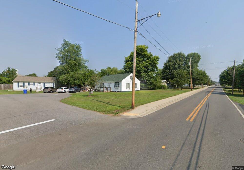
207 Del Ray Cir La Plata, MD 20646
Estimated Value: $275,441 - $374,000
--
Bed
1
Bath
957
Sq Ft
$326/Sq Ft
Est. Value
About This Home
This home is located at 207 Del Ray Cir, La Plata, MD 20646 and is currently estimated at $311,860, approximately $325 per square foot. 207 Del Ray Cir is a home located in Charles County with nearby schools including Walter J. Mitchell Elementary School, Milton M. Somers Middle School, and La Plata High School.
Ownership History
Date
Name
Owned For
Owner Type
Purchase Details
Closed on
Aug 18, 1998
Sold by
Bowden Ava L
Bought by
Howe Thomas E and Howe Stephanie N
Current Estimated Value
Purchase Details
Closed on
Aug 2, 1985
Sold by
Reilly Robert E
Bought by
Bowden Russell W and Bowden Ava L
Home Financials for this Owner
Home Financials are based on the most recent Mortgage that was taken out on this home.
Original Mortgage
$12,000
Interest Rate
12.17%
Create a Home Valuation Report for This Property
The Home Valuation Report is an in-depth analysis detailing your home's value as well as a comparison with similar homes in the area
Home Values in the Area
Average Home Value in this Area
Purchase History
| Date | Buyer | Sale Price | Title Company |
|---|---|---|---|
| Howe Thomas E | $94,900 | -- | |
| Bowden Russell W | $62,700 | -- |
Source: Public Records
Mortgage History
| Date | Status | Borrower | Loan Amount |
|---|---|---|---|
| Previous Owner | Bowden Russell W | $12,000 | |
| Closed | Howe Thomas E | -- |
Source: Public Records
Tax History Compared to Growth
Tax History
| Year | Tax Paid | Tax Assessment Tax Assessment Total Assessment is a certain percentage of the fair market value that is determined by local assessors to be the total taxable value of land and additions on the property. | Land | Improvement |
|---|---|---|---|---|
| 2025 | $6,709 | $213,667 | -- | -- |
| 2024 | $3,125 | $203,033 | $0 | $0 |
| 2023 | $3,365 | $192,400 | $110,100 | $82,300 |
| 2022 | $2,769 | $183,800 | $0 | $0 |
| 2021 | $2,520 | $175,200 | $0 | $0 |
| 2020 | $2,520 | $166,600 | $100,100 | $66,500 |
| 2019 | $2,473 | $162,833 | $0 | $0 |
| 2018 | $2,407 | $159,067 | $0 | $0 |
| 2017 | $2,363 | $155,300 | $0 | $0 |
| 2016 | -- | $154,733 | $0 | $0 |
| 2015 | $2,082 | $154,167 | $0 | $0 |
| 2014 | $2,082 | $153,600 | $0 | $0 |
Source: Public Records
Map
Nearby Homes
- 9 Candleberry Dr
- 13 Candleberry Dr
- 302 Edelen Station Place
- 14 Candleberry Dr
- 600 Edelen Station Place Unit 7402
- The Adelina Plan at Fischer's Grant
- The Westminster Plan at Fischer's Grant
- The Brentwood Plan at Fischer's Grant
- The Lancaster Plan at Fischer's Grant
- The Winchester Plan at Fischer's Grant
- The Willow Plan at Fischer's Grant
- The Oxford Plan at Fischer's Grant
- The Fairfax Plan at Fischer's Grant
- The Belmont Plan at Fischer's Grant
- The Glenwood Plan at Fischer's Grant
- The Hampton Plan at Fischer's Grant
- The Somerset Plan at Fischer's Grant
- The Ashland Plan at Fischer's Grant
- 45 Hibiscus Ct
- 105 Palmetto Ct
- 203 Oak Ave
- 209 Del Ray Cir
- 206 Oak Ave
- 211 Del Ray Cir
- 213 Del Ray Cir
- 201 Oak Ave
- 215 Concord Cir
- 217 Concord Cir
- 202 Oak Ave
- 210 Oak Ave
- 7206 Maple Ave Unit 7206
- 107 S Maple Ave
- 105 Maple Ave
- 200 Edelen Station Place Unit 401
- 200 Edelen Station Place Unit 305
- 200 Edelen Station Place Unit 304
- 200 Edelen Station Place Unit 303
- 200 Edelen Station Place Unit 302
- 200 Edelen Station Place Unit 301
- 200 Edelen Station Place Unit 205