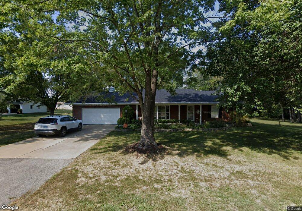
207 Delinda Ave Sparta, IL 62286
Estimated Value: $164,299 - $192,000
3
Beds
3
Baths
1,656
Sq Ft
$107/Sq Ft
Est. Value
About This Home
This home is located at 207 Delinda Ave, Sparta, IL 62286 and is currently estimated at $177,575, approximately $107 per square foot. 207 Delinda Ave is a home located in Randolph County with nearby schools including Sparta High School.
Ownership History
Date
Name
Owned For
Owner Type
Purchase Details
Closed on
Dec 29, 2009
Sold by
Clendenin Ralph and Clendenin Melinda
Bought by
Schmitz Michael E and Schmitz Paulette M
Current Estimated Value
Home Financials for this Owner
Home Financials are based on the most recent Mortgage that was taken out on this home.
Original Mortgage
$111,600
Outstanding Balance
$33,564
Interest Rate
4.9%
Mortgage Type
Purchase Money Mortgage
Estimated Equity
$144,011
Create a Home Valuation Report for This Property
The Home Valuation Report is an in-depth analysis detailing your home's value as well as a comparison with similar homes in the area
Home Values in the Area
Average Home Value in this Area
Purchase History
| Date | Buyer | Sale Price | Title Company |
|---|---|---|---|
| Schmitz Michael E | $139,500 | None Available |
Source: Public Records
Mortgage History
| Date | Status | Borrower | Loan Amount |
|---|---|---|---|
| Open | Schmitz Michael E | $111,600 |
Source: Public Records
Tax History Compared to Growth
Tax History
| Year | Tax Paid | Tax Assessment Tax Assessment Total Assessment is a certain percentage of the fair market value that is determined by local assessors to be the total taxable value of land and additions on the property. | Land | Improvement |
|---|---|---|---|---|
| 2024 | $3,557 | $48,500 | $4,490 | $44,010 |
| 2023 | $3,231 | $45,060 | $4,170 | $40,890 |
| 2022 | $3,003 | $46,125 | $5,235 | $40,890 |
| 2021 | $3,046 | $43,115 | $4,895 | $38,220 |
| 2020 | $2,885 | $44,153 | $5,013 | $39,140 |
| 2019 | $2,810 | $39,515 | $4,485 | $35,030 |
| 2018 | $2,784 | $43,566 | $4,945 | $38,621 |
| 2017 | $2,323 | $39,870 | $4,525 | $35,345 |
| 2016 | $2,418 | $38,420 | $4,360 | $34,060 |
| 2015 | $2,841 | $38,420 | $4,360 | $34,060 |
| 2014 | $2,841 | $39,170 | $4,445 | $34,725 |
| 2013 | $2,710 | $39,665 | $4,500 | $35,165 |
Source: Public Records
Map
Nearby Homes
- 255 Delwood Dr
- 115 W 4th St
- 410 S Saint Louis St
- 332 S Saint Louis St
- 321 S Market St
- 336 W Jackson St
- 140&142 W Broadway
- 216 S Dickey St
- 500 S Chester St
- 105 S Washington
- 540 E Broadway St
- 1019 E Main St
- 510 E Main St
- 715 W Broadway St
- 35 Bogey Run
- 501 N Market St
- 1019 E Broadway St
- 712 E Harrison St
- 515 N Market St
- 520 E Mound St