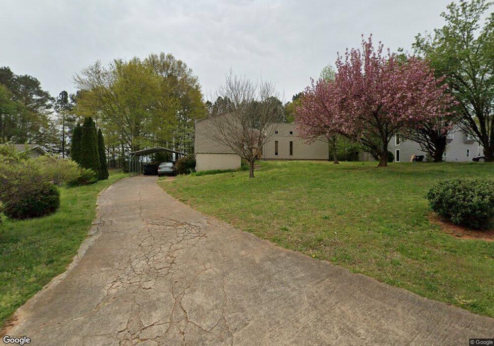
207 Don John Trail Woodstock, GA 30189
Oak Grove NeighborhoodEstimated Value: $321,654 - $350,000
3
Beds
2
Baths
1,444
Sq Ft
$233/Sq Ft
Est. Value
About This Home
This home is located at 207 Don John Trail, Woodstock, GA 30189 and is currently estimated at $335,827, approximately $232 per square foot. 207 Don John Trail is a home located in Cherokee County with nearby schools including Carmel Elementary School, Woodstock Middle School, and Woodstock High School.
Ownership History
Date
Name
Owned For
Owner Type
Purchase Details
Closed on
Sep 10, 2001
Sold by
Affolder Scott
Bought by
Givens Regina C
Current Estimated Value
Home Financials for this Owner
Home Financials are based on the most recent Mortgage that was taken out on this home.
Original Mortgage
$102,700
Outstanding Balance
$38,743
Interest Rate
6.85%
Estimated Equity
$297,084
Purchase Details
Closed on
Oct 30, 1997
Sold by
Long Lawrence M
Bought by
Harrison-Trustee Thomas R
Home Financials for this Owner
Home Financials are based on the most recent Mortgage that was taken out on this home.
Original Mortgage
$51,500
Interest Rate
7.31%
Purchase Details
Closed on
Sep 28, 1994
Sold by
Harris Katherine L
Bought by
Long Lawrence M
Create a Home Valuation Report for This Property
The Home Valuation Report is an in-depth analysis detailing your home's value as well as a comparison with similar homes in the area
Home Values in the Area
Average Home Value in this Area
Purchase History
| Date | Buyer | Sale Price | Title Company |
|---|---|---|---|
| Givens Regina C | $105,900 | -- | |
| Harrison-Trustee Thomas R | $13,600 | -- | |
| Long Lawrence M | $56,500 | -- |
Source: Public Records
Mortgage History
| Date | Status | Borrower | Loan Amount |
|---|---|---|---|
| Open | Givens Regina C | $102,700 | |
| Previous Owner | Harrison-Trustee Thomas R | $51,500 | |
| Closed | Long Lawrence M | -- |
Source: Public Records
Tax History Compared to Growth
Tax History
| Year | Tax Paid | Tax Assessment Tax Assessment Total Assessment is a certain percentage of the fair market value that is determined by local assessors to be the total taxable value of land and additions on the property. | Land | Improvement |
|---|---|---|---|---|
| 2025 | $626 | $128,492 | $29,600 | $98,892 |
| 2024 | $605 | $119,652 | $28,000 | $91,652 |
| 2023 | $2,061 | $108,972 | $26,000 | $82,972 |
| 2022 | $1,922 | $80,612 | $22,000 | $58,612 |
| 2021 | $1,771 | $67,252 | $20,000 | $47,252 |
| 2020 | $1,654 | $62,132 | $16,000 | $46,132 |
| 2019 | $1,592 | $59,480 | $13,600 | $45,880 |
| 2018 | $1,487 | $54,640 | $13,600 | $41,040 |
| 2017 | $1,487 | $149,300 | $13,600 | $46,120 |
| 2016 | $1,531 | $138,500 | $11,200 | $44,200 |
| 2015 | $1,272 | $113,900 | $9,200 | $36,360 |
| 2014 | $1,194 | $107,100 | $9,200 | $33,640 |
Source: Public Records
Map
Nearby Homes
- 216 Don John Trail
- 710 Pineglen Dr
- 2007 Vicksburg Trail
- 313 Stations Ave
- 515 Altama Way
- 305 Wilshire Pass
- 107 Red Barn Ln
- 405 Hobo Ln
- 206 Oakleaf Dr
- 1101 Cooks Farm Way
- 3032 Farm Tract Trail
- 1116 Cooks Farm Way
- 1113 Cooks Farm Way
- 1117 Cooks Farm Way
- 251 Derby Ct
- 1121 Cooks Farm Way
- 367 Lake Forest Dr
- 259 Lake Forest Dr
- 5216 Legendary Ln
- 103 Wood Wind Station
- 205 Don John Trail
- 209 Don John Trail
- 209 Don John Trail Unit 66
- 203 Don John Trail
- 211 Don John Trail
- 208 Don John Trail
- 206 Don John Trail
- 210 Don John Trail Unit 57
- 210 Don John Trail
- 204 Don John Trail
- 213 Don John Trail
- 212 Don John Trail
- 201 Don John Trail
- 202 Don John Trail
- 107 Hartwood Dr
- 214 Don John Trail
- 305 Jennys Row
- 303 Jennys Row
- 307 Jennys Row
- 215 Don John Trail