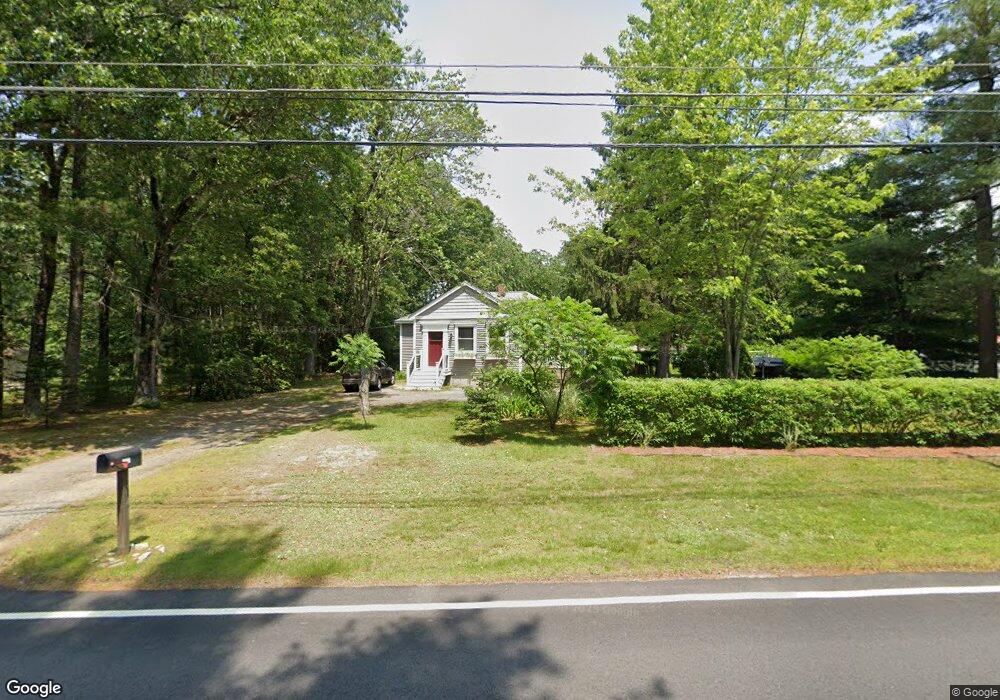
207 Dunstable Rd Tyngsboro, MA 01879
Estimated Value: $461,000 - $538,000
2
Beds
1
Bath
1,534
Sq Ft
$331/Sq Ft
Est. Value
About This Home
This home is located at 207 Dunstable Rd, Tyngsboro, MA 01879 and is currently estimated at $508,492, approximately $331 per square foot. 207 Dunstable Rd is a home located in Middlesex County with nearby schools including Tyngsborough Elementary School, Tyngsborough Middle School, and Tyngsborough High School.
Ownership History
Date
Name
Owned For
Owner Type
Purchase Details
Closed on
May 12, 2006
Sold by
Merrill Gregg C
Bought by
Merrill Gregg C and Merrill Lisa A
Current Estimated Value
Purchase Details
Closed on
Oct 2, 1995
Sold by
Hagan Thomas and Hagan Emily
Bought by
Lavallee Roland and Lavallee Gail
Home Financials for this Owner
Home Financials are based on the most recent Mortgage that was taken out on this home.
Original Mortgage
$99,850
Interest Rate
7.89%
Mortgage Type
Purchase Money Mortgage
Create a Home Valuation Report for This Property
The Home Valuation Report is an in-depth analysis detailing your home's value as well as a comparison with similar homes in the area
Home Values in the Area
Average Home Value in this Area
Purchase History
| Date | Buyer | Sale Price | Title Company |
|---|---|---|---|
| Merrill Gregg C | -- | -- | |
| Lavallee Roland | $100,000 | -- |
Source: Public Records
Mortgage History
| Date | Status | Borrower | Loan Amount |
|---|---|---|---|
| Open | Lavallee Roland | $167,000 | |
| Previous Owner | Lavallee Roland | $99,850 |
Source: Public Records
Tax History Compared to Growth
Tax History
| Year | Tax Paid | Tax Assessment Tax Assessment Total Assessment is a certain percentage of the fair market value that is determined by local assessors to be the total taxable value of land and additions on the property. | Land | Improvement |
|---|---|---|---|---|
| 2025 | $50 | $403,500 | $196,200 | $207,300 |
| 2024 | $4,793 | $376,800 | $187,000 | $189,800 |
| 2023 | $4,627 | $327,200 | $155,500 | $171,700 |
| 2022 | $4,289 | $287,100 | $135,100 | $152,000 |
| 2021 | $6,850 | $261,100 | $122,200 | $138,900 |
| 2020 | $4,108 | $252,800 | $122,200 | $130,600 |
| 2019 | $4,338 | $233,600 | $116,600 | $117,000 |
| 2018 | $3,997 | $233,600 | $116,600 | $117,000 |
| 2017 | $4,058 | $236,500 | $116,600 | $119,900 |
| 2016 | $3,637 | $207,100 | $98,100 | $109,000 |
| 2015 | $3,512 | $207,100 | $98,100 | $109,000 |
Source: Public Records
Map
Nearby Homes
- 48 Mission Rd
- 5 Mission Rd Unit 203
- 180 Tyngsboro Rd Unit 3
- 1 Hope St
- 10 Worden Rd
- 863 Wellman Ave Unit 863
- 415 Wellman Ave
- 330 Wellman Ave
- 436 Wellman Ave
- 10 Butterfield St
- 38 Scotty Hollow Dr Unit E
- 126 Groton Rd
- 271 Wellman Ave
- 251 Wellman Ave Unit 251
- 348 Wellman Ave
- 739 Wellman Ave
- 30 Russell Rd
- 730 Wellman Ave
- 10 Mansur St
- 16 Middlesex St Unit 4
- 203 Dunstable Rd
- 217 Dunstable Rd
- 34 Mission Rd
- 210 Dunstable Rd
- 204 Dunstable Rd
- 38 Mission Rd
- 36 Mission Rd
- 30 Mission Rd
- 12 Cormier Ave
- 10 Cormier Ave
- 206 Dunstable Rd
- 4 Cormier Ave
- 200 Dunstable Rd Unit 202
- 29 Mission Rd
- 20 Mission Rd
- 225 Dunstable Rd
- 25 Mission Rd
- 31 Mission Rd
- 7 Cormier Ave
- 219 Dunstable Rd