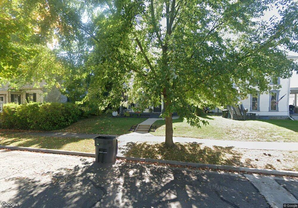
207 E Church St Urbana, OH 43078
Estimated Value: $194,833 - $239,000
3
Beds
2
Baths
1,568
Sq Ft
$136/Sq Ft
Est. Value
About This Home
This home is located at 207 E Church St, Urbana, OH 43078 and is currently estimated at $212,708, approximately $135 per square foot. 207 E Church St is a home located in Champaign County with nearby schools including Urbana Elementary School, Urbana High School, and Urbana Community School.
Ownership History
Date
Name
Owned For
Owner Type
Purchase Details
Closed on
Aug 26, 2022
Sold by
Jenkins Cassandra I
Bought by
Jenkins Anthony C
Current Estimated Value
Home Financials for this Owner
Home Financials are based on the most recent Mortgage that was taken out on this home.
Original Mortgage
$103,785
Outstanding Balance
$83,724
Interest Rate
2.7%
Mortgage Type
FHA
Estimated Equity
$128,984
Purchase Details
Closed on
Oct 1, 2015
Sold by
Johnson James P and Johnson Anne R
Bought by
Jenkins Anthony C and Jenkins Cassandra I
Home Financials for this Owner
Home Financials are based on the most recent Mortgage that was taken out on this home.
Original Mortgage
$92,787
Interest Rate
3.88%
Mortgage Type
FHA
Create a Home Valuation Report for This Property
The Home Valuation Report is an in-depth analysis detailing your home's value as well as a comparison with similar homes in the area
Home Values in the Area
Average Home Value in this Area
Purchase History
| Date | Buyer | Sale Price | Title Company |
|---|---|---|---|
| Jenkins Anthony C | -- | -- | |
| Jenkins Anthony C | $94,500 | None Available |
Source: Public Records
Mortgage History
| Date | Status | Borrower | Loan Amount |
|---|---|---|---|
| Open | Jenkins Anthony C | $103,785 | |
| Previous Owner | Jenkins Anthony C | $92,787 |
Source: Public Records
Tax History Compared to Growth
Tax History
| Year | Tax Paid | Tax Assessment Tax Assessment Total Assessment is a certain percentage of the fair market value that is determined by local assessors to be the total taxable value of land and additions on the property. | Land | Improvement |
|---|---|---|---|---|
| 2024 | $1,573 | $38,250 | $5,430 | $32,820 |
| 2023 | $1,573 | $38,250 | $5,430 | $32,820 |
| 2022 | $1,605 | $38,250 | $5,430 | $32,820 |
| 2021 | $1,504 | $31,770 | $4,330 | $27,440 |
| 2020 | $1,504 | $31,770 | $4,330 | $27,440 |
| 2019 | $1,486 | $31,770 | $4,330 | $27,440 |
| 2018 | $1,183 | $24,180 | $3,400 | $20,780 |
| 2017 | $1,175 | $24,180 | $3,400 | $20,780 |
| 2016 | $1,177 | $24,180 | $3,400 | $20,780 |
| 2015 | $1,191 | $23,190 | $3,400 | $19,790 |
| 2014 | $1,193 | $23,190 | $3,400 | $19,790 |
| 2013 | $1,019 | $23,190 | $3,400 | $19,790 |
Source: Public Records
Map
Nearby Homes
- 412 N Main St
- 328 Washington Ave
- 429 E Court St
- 312 E Water St
- 311 W Church St
- 306 W Court St
- 206 Lincoln Place
- 234 Laurel Oak St
- 242 Laurel Oak St
- 0 Laurel Oak St Unit 1038292
- 522 E Ward St
- 129 Gwynne St
- 241 Louden St
- 405 S Main St
- 0 S Kenton St Unit 1039146
- 0 S Kenton St Unit 225020232
- 501 Boyce St
- 574 Washington Ave
- 201 College St
- 723 N Russell St
- 201 E Church St
- 213 E Church St
- 221 N Locust St
- 208 E Church St
- 137 E Church St
- 223 E Church St
- 214 E Church St
- 220 N Locust St
- 212 E Church St
- 202 E Church St
- 227 E Church St
- 133 E Church St
- 134 E Church St
- 220 E Church St
- 231 E Church St Unit 233
- 123 E Church St
- 206 E Court St
- 228 E Church St
- 222 N Kenton St
- 130 E Church St Unit 132