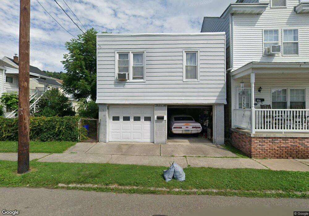
207 E Franklin St Saint Clair, PA 17970
Estimated Value: $61,000 - $102,000
2
Beds
1
Bath
672
Sq Ft
$121/Sq Ft
Est. Value
About This Home
This home is located at 207 E Franklin St, Saint Clair, PA 17970 and is currently estimated at $81,209, approximately $120 per square foot. 207 E Franklin St is a home located in Schuylkill County with nearby schools including Saint Clair Area Elementary/Middle School, Gillingham Charter School, and ASSUMPTION BVM SCHOOL.
Ownership History
Date
Name
Owned For
Owner Type
Purchase Details
Closed on
Jan 31, 2005
Sold by
Maley Charles E and Maley Angie H
Bought by
Soto Francisco
Current Estimated Value
Home Financials for this Owner
Home Financials are based on the most recent Mortgage that was taken out on this home.
Original Mortgage
$33,332
Interest Rate
5.66%
Mortgage Type
Future Advance Clause Open End Mortgage
Create a Home Valuation Report for This Property
The Home Valuation Report is an in-depth analysis detailing your home's value as well as a comparison with similar homes in the area
Home Values in the Area
Average Home Value in this Area
Purchase History
| Date | Buyer | Sale Price | Title Company |
|---|---|---|---|
| Soto Francisco | $40,000 | None Available |
Source: Public Records
Mortgage History
| Date | Status | Borrower | Loan Amount |
|---|---|---|---|
| Closed | Soto Francisco | $33,332 |
Source: Public Records
Tax History
| Year | Tax Paid | Tax Assessment Tax Assessment Total Assessment is a certain percentage of the fair market value that is determined by local assessors to be the total taxable value of land and additions on the property. | Land | Improvement |
|---|---|---|---|---|
| 2025 | $1,100 | $16,730 | $3,000 | $13,730 |
| 2024 | $1,029 | $16,730 | $3,000 | $13,730 |
| 2023 | $979 | $16,730 | $3,000 | $13,730 |
| 2022 | $979 | $16,730 | $3,000 | $13,730 |
| 2021 | $989 | $16,730 | $3,000 | $13,730 |
| 2020 | $989 | $16,730 | $3,000 | $13,730 |
| 2018 | $969 | $16,730 | $3,000 | $13,730 |
| 2017 | $931 | $16,730 | $3,000 | $13,730 |
| 2015 | -- | $16,730 | $3,000 | $13,730 |
| 2011 | -- | $16,730 | $0 | $0 |
Source: Public Records
Map
Nearby Homes
- 32 S Front St
- Lot 30 Elmwood Ct
- 0 - Lot 10 Elmwood Ct Unit 10
- 141 S Nicholas St
- 219 S 3rd St
- 0, 305, 307 S 2nd St
- 320 S Mill St
- 331 S 2nd St
- 108 Cherry St
- 1 S Front St Thwing St
- 117 Chestnut St
- 0 Caroline Ave Unit PASK2022658
- 714 Port Carbon Saint Clair Hwy
- 702 & 698 Port Carbon St Clair Hwy
- 11 Bryn Mawr Ave
- 15 Marcello Dr
- 717 5th St
- 758 Walnut St
- 0 Schuylkill Manor Rd Unit PASK2018142
- 935 N Centre St
- 209 E Franklin St
- 209 N Mill St
- 207 N Mill St
- 201 N Mill St
- 213 N Mill St
- 208 N Nicholas St
- 206 N Nicholas St
- 200 N Nicholas St
- 200 N Nicholas St Unit FRONT
- 200 N Nicholas St Unit REAR
- 210 N Nicholas St
- 200 N Nicholas (Aka Nichols) St
- 215 N Mill St
- 202 N Nicholas St
- 212 N Nicholas St
- 217 N Mill St
- 149 N Mill St
- 219 N Mill St
- 218 N Nicholas St
- 210 E Franklin St
Your Personal Tour Guide
Ask me questions while you tour the home.