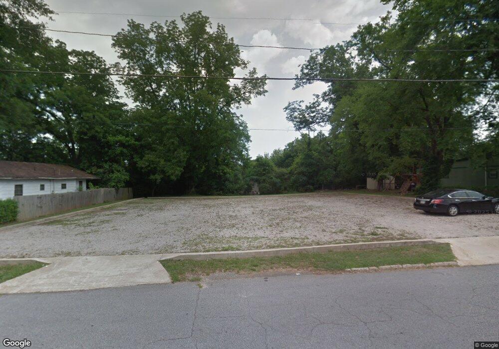
207 Fannin St Lagrange, GA 30241
Estimated Value: $15,423
--
Bed
1
Bath
1,148
Sq Ft
$13/Sq Ft
Est. Value
About This Home
This home is located at 207 Fannin St, Lagrange, GA 30241 and is currently estimated at $15,423, approximately $13 per square foot. 207 Fannin St is a home located in Troup County with nearby schools including Hollis Hand Elementary School, Franklin Forest Elementary School, and Ethel W. Kight Elementary School.
Ownership History
Date
Name
Owned For
Owner Type
Purchase Details
Closed on
Feb 2, 2010
Sold by
Lynch Elease Benton
Bought by
First Baptist Church Fannin St
Current Estimated Value
Purchase Details
Closed on
Jun 8, 2009
Sold by
Hood Zannie
Bought by
Hood Zannie
Purchase Details
Closed on
May 23, 1989
Sold by
Betty Lou Hood Interest
Bought by
Hood Betty Lou
Purchase Details
Closed on
Jan 9, 1974
Sold by
William R Hood
Bought by
Betty Lou Hood Interest
Purchase Details
Closed on
Mar 26, 1971
Sold by
Elease Benton Lynch
Bought by
William R Hood
Purchase Details
Closed on
Jun 1, 1947
Bought by
Elease Benton Lynch
Create a Home Valuation Report for This Property
The Home Valuation Report is an in-depth analysis detailing your home's value as well as a comparison with similar homes in the area
Home Values in the Area
Average Home Value in this Area
Purchase History
| Date | Buyer | Sale Price | Title Company |
|---|---|---|---|
| First Baptist Church Fannin St | $7,000 | -- | |
| First Baptist Church Fannin St | $7,000 | -- | |
| Hood Zannie | -- | -- | |
| Hood Zannie | -- | -- | |
| Hood Betty Lou | $1,000 | -- | |
| Betty Lou Hood Interest | -- | -- | |
| William R Hood | -- | -- | |
| Elease Benton Lynch | -- | -- |
Source: Public Records
Tax History Compared to Growth
Tax History
| Year | Tax Paid | Tax Assessment Tax Assessment Total Assessment is a certain percentage of the fair market value that is determined by local assessors to be the total taxable value of land and additions on the property. | Land | Improvement |
|---|---|---|---|---|
| 2024 | -- | $7,200 | $7,200 | $0 |
| 2023 | $0 | $7,200 | $7,200 | $0 |
| 2022 | $201 | $7,200 | $7,200 | $0 |
| 2021 | $217 | $7,200 | $7,200 | $0 |
| 2020 | $217 | $7,200 | $7,200 | $0 |
| 2019 | $123 | $4,080 | $4,080 | $0 |
| 2018 | $0 | $4,080 | $4,080 | $0 |
| 2017 | $123 | $4,080 | $4,080 | $0 |
| 2016 | -- | $4,102 | $4,102 | $0 |
| 2015 | -- | $4,102 | $4,102 | $0 |
| 2014 | -- | $1,936 | $1,936 | $0 |
| 2013 | -- | $1,936 | $1,936 | $0 |
Source: Public Records
Map
Nearby Homes
- 211 Fannin St
- 201 Fannin St
- 8 Heard St
- 10 Heard St
- 213 Fannin St
- 302 Hamilton Rd
- 12 Heard St
- 115 Fannin St
- 100 Fannin Ct
- 11 Heard St
- 113 Fannin St
- 15 Heard St
- 216 Fannin St
- 330 Hamilton Rd
- 0 Revis St Unit 8274041
- 0 Revis St Unit 8274033
- 0 Revis St Unit 8081824
- 0 Revis St Unit 8017696
- 0 Revis St Unit 7510684
- 0 Revis St Unit 7360802