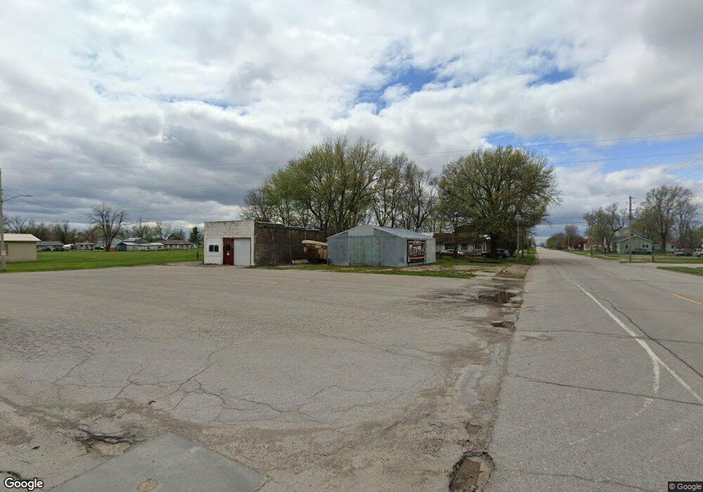
207 Forrest Cincinnati, IA 52549
Estimated Value: $102,631 - $124,000
About This Home
This home is located at 207 Forrest, Cincinnati, IA 52549 and is currently estimated at $112,158, approximately $113 per square foot. 207 Forrest is a home located in Appanoose County with nearby schools including Centerville High School.
Ownership History
We collect this data history from publicly available records. To have your information removed, we recommend requesting removal directly through your county’s website.
Purchase Details
Home Financials for this Owner
Home Financials are based on the most recent Mortgage that was taken out on this home.Purchase Details
Home Financials for this Owner
Home Financials are based on the most recent Mortgage that was taken out on this home.Purchase History
We collect this data history from publicly available records. To have your information removed, we recommend requesting removal directly through your county’s website.
| Date | Buyer | Sale Price | Title Company |
|---|---|---|---|
| -- | -- | ||
| $40,000 | None Available |
Mortgage History
We collect this data history from publicly available records. To have your information removed, we recommend requesting removal directly through your county’s website.
| Date | Status | Borrower | Loan Amount |
|---|---|---|---|
| Open | $51,548 | ||
| Closed | $51,548 | ||
| Previous Owner | $30,000 |
Tax History
We collect this data history from publicly available records. To have your information removed, we recommend requesting removal directly through your county’s website.
| Year | Tax Paid | Tax Assessment Tax Assessment Total Assessment is a certain percentage of the fair market value that is determined by local assessors to be the total taxable value of land and additions on the property. | Land | Improvement |
|---|---|---|---|---|
| 2025 | $1,230 | $76,880 | $7,970 | $68,910 |
| 2024 | $1,230 | $65,710 | $6,910 | $58,800 |
| 2023 | $1,218 | $65,710 | $6,910 | $58,800 |
| 2022 | $1,048 | $50,050 | $6,640 | $43,410 |
| 2021 | $1,048 | $48,610 | $6,640 | $41,970 |
| 2020 | $872 | $37,380 | $5,320 | $32,060 |
| 2019 | $884 | $35,100 | $0 | $0 |
| 2018 | $860 | $35,100 | $0 | $0 |
| 2017 | $84,600 | $33,410 | $0 | $0 |
| 2016 | $792 | $33,410 | $0 | $0 |
| 2015 | $792 | $33,330 | $0 | $0 |
| 2014 | $770 | $33,330 | $0 | $0 |
Map
- 211 N Liberty St
- 210 S Maple
- 213 S Maple
- 204 Wisconsin
- 28432 203rd Ave
- 0 605th St
- 24988 195th Ave
- 26936 Highway T30
- 18745 Highway J46
- 23332 590th St
- 206 W Main St
- 23275 579th St
- 101 E Liberty St
- 206 Main St N
- 109 Garfield St E
- 101 Coal Valley Ln
- 111 E Grand St
- 88 Ac 305th Rd
- 16665 524th St
- 000 524th St
Ask me questions while you tour the home.