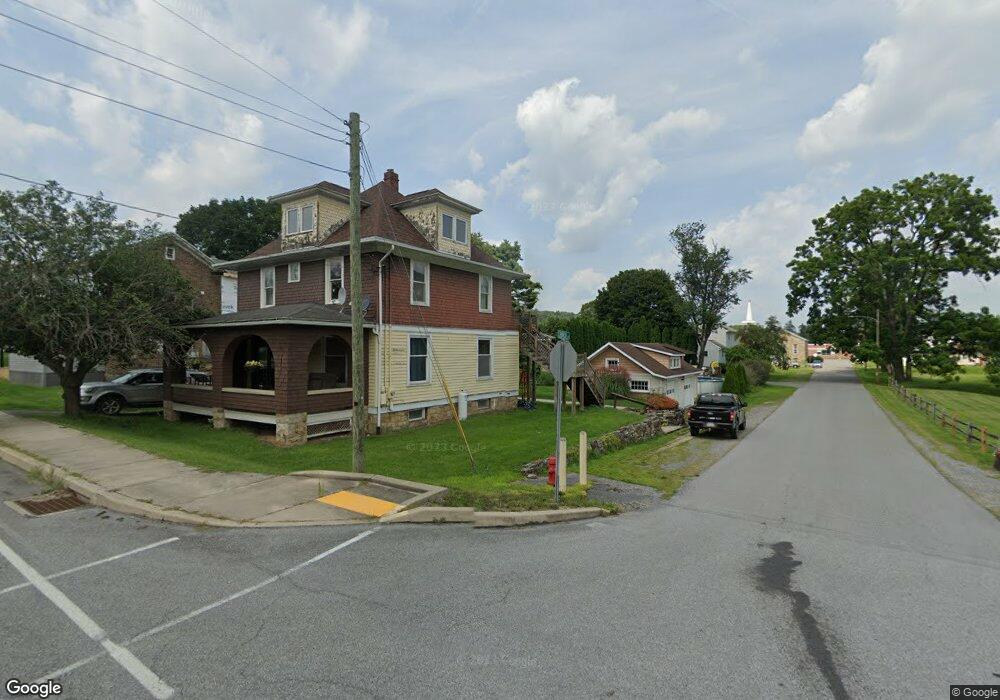
207 High Rd Port Matilda, PA 16870
Estimated Value: $157,000 - $354,000
2
Beds
2
Baths
1,400
Sq Ft
$150/Sq Ft
Est. Value
About This Home
This home is located at 207 High Rd, Port Matilda, PA 16870 and is currently estimated at $209,594, approximately $149 per square foot. 207 High Rd is a home located in Centre County with nearby schools including Bald Eagle Area Junior/Senior High School.
Ownership History
Date
Name
Owned For
Owner Type
Purchase Details
Closed on
Jun 9, 2023
Sold by
Adams Mark S and Adams Robert D
Bought by
Adams Robert D and Adams Karen J
Current Estimated Value
Home Financials for this Owner
Home Financials are based on the most recent Mortgage that was taken out on this home.
Original Mortgage
$150,000
Outstanding Balance
$145,989
Interest Rate
6.39%
Mortgage Type
New Conventional
Estimated Equity
$63,605
Purchase Details
Closed on
May 15, 2023
Sold by
Adams Mark S
Bought by
Adams Mark S and Adams Robert D
Home Financials for this Owner
Home Financials are based on the most recent Mortgage that was taken out on this home.
Original Mortgage
$150,000
Outstanding Balance
$145,989
Interest Rate
6.39%
Mortgage Type
New Conventional
Estimated Equity
$63,605
Purchase Details
Closed on
Mar 31, 1998
Bought by
Adams Mark S and Adams Adams
Create a Home Valuation Report for This Property
The Home Valuation Report is an in-depth analysis detailing your home's value as well as a comparison with similar homes in the area
Home Values in the Area
Average Home Value in this Area
Purchase History
| Date | Buyer | Sale Price | Title Company |
|---|---|---|---|
| Adams Robert D | -- | None Listed On Document | |
| Adams Mark S | -- | None Listed On Document | |
| Adams Mark S | $60,000 | -- |
Source: Public Records
Mortgage History
| Date | Status | Borrower | Loan Amount |
|---|---|---|---|
| Open | Adams Robert D | $150,000 |
Source: Public Records
Tax History Compared to Growth
Tax History
| Year | Tax Paid | Tax Assessment Tax Assessment Total Assessment is a certain percentage of the fair market value that is determined by local assessors to be the total taxable value of land and additions on the property. | Land | Improvement |
|---|---|---|---|---|
| 2025 | $1,921 | $24,535 | $5,000 | $19,535 |
| 2024 | $1,894 | $24,535 | $5,000 | $19,535 |
| 2023 | $1,894 | $24,535 | $5,000 | $19,535 |
| 2022 | $1,846 | $24,535 | $5,000 | $19,535 |
| 2021 | $1,821 | $24,535 | $5,000 | $19,535 |
| 2020 | $1,796 | $24,535 | $5,000 | $19,535 |
| 2019 | $922 | $24,535 | $5,000 | $19,535 |
| 2018 | $1,735 | $24,535 | $5,000 | $19,535 |
| 2017 | $1,690 | $24,535 | $5,000 | $19,535 |
| 2016 | -- | $24,535 | $5,000 | $19,535 |
| 2015 | -- | $24,535 | $5,000 | $19,535 |
| 2014 | -- | $24,235 | $5,000 | $19,235 |
Source: Public Records
Map
Nearby Homes
- 0 S Eagle Valley Rd
- 101 Cherry St
- 8307 S Eagle Valley Rd
- 81 Bethel Ct
- 1296 Sunnyside Hollow Rd
- 600 Houtz Ln
- 300 Skytop Mountain
- 202 Phoebe Rd
- 179 Buck Moth Way
- 178 Buck Moth Way
- 161 Jack Pine Way
- 157 Jack Pine Way
- 136 Dolomite Dr
- 129 Phoebe Rd
- 134 Dolomite Dr
- 127 Phoebe Rd
- 132 Dolomite Dr
- 125 Phoebe Rd
- Crestmont Plan at Grays Pointe - Single Family Homes
- Monroe Plan at Grays Pointe - Single Family Homes