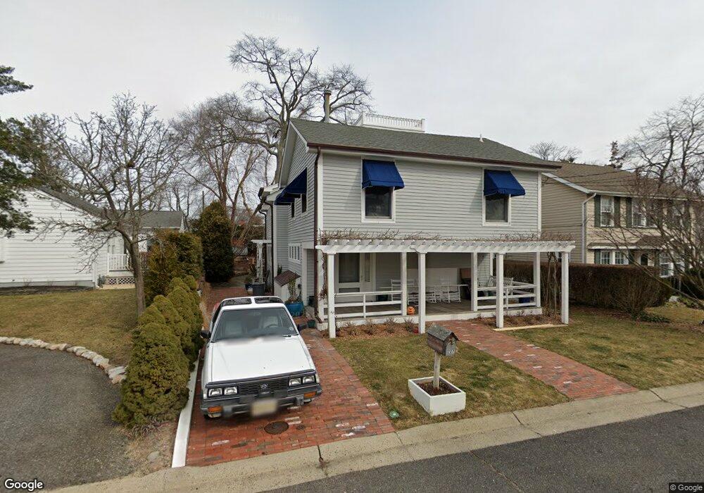
207 Howe St Point Pleasant Boro, NJ 08742
Estimated Value: $1,183,000 - $1,286,000
4
Beds
3
Baths
2,408
Sq Ft
$507/Sq Ft
Est. Value
About This Home
This home is located at 207 Howe St, Point Pleasant Boro, NJ 08742 and is currently estimated at $1,220,743, approximately $506 per square foot. 207 Howe St is a home located in Ocean County with nearby schools including Point Pleasant High School and St. Peter School.
Ownership History
Date
Name
Owned For
Owner Type
Purchase Details
Closed on
Feb 18, 2021
Sold by
Rasiej Andrew Casimir and Rasiej Andrew
Bought by
Rasiej Andrew Casimir and Gilmanova Albina
Current Estimated Value
Home Financials for this Owner
Home Financials are based on the most recent Mortgage that was taken out on this home.
Original Mortgage
$580,000
Outstanding Balance
$517,561
Interest Rate
2.7%
Mortgage Type
New Conventional
Estimated Equity
$703,182
Purchase Details
Closed on
Sep 12, 1989
Bought by
Rasiej Andrew
Create a Home Valuation Report for This Property
The Home Valuation Report is an in-depth analysis detailing your home's value as well as a comparison with similar homes in the area
Home Values in the Area
Average Home Value in this Area
Purchase History
| Date | Buyer | Sale Price | Title Company |
|---|---|---|---|
| Rasiej Andrew Casimir | -- | Clear Skies Title Agency | |
| Rasiej Andrew Casimir | -- | Clear Skies Title | |
| Rasiej Andrew | $110,000 | -- |
Source: Public Records
Mortgage History
| Date | Status | Borrower | Loan Amount |
|---|---|---|---|
| Open | Rasiej Andrew Casimir | $580,000 | |
| Closed | Rasiej Andrew Casimir | $580,000 |
Source: Public Records
Tax History Compared to Growth
Tax History
| Year | Tax Paid | Tax Assessment Tax Assessment Total Assessment is a certain percentage of the fair market value that is determined by local assessors to be the total taxable value of land and additions on the property. | Land | Improvement |
|---|---|---|---|---|
| 2025 | $12,530 | $547,900 | $240,000 | $307,900 |
| 2024 | $11,977 | $547,900 | $240,000 | $307,900 |
| 2023 | $11,731 | $547,900 | $240,000 | $307,900 |
| 2022 | $11,731 | $547,900 | $240,000 | $307,900 |
| 2021 | $11,550 | $547,900 | $240,000 | $307,900 |
| 2020 | $11,429 | $547,900 | $240,000 | $307,900 |
| 2019 | $11,276 | $547,900 | $240,000 | $307,900 |
| 2018 | $10,942 | $547,900 | $240,000 | $307,900 |
| 2017 | $10,700 | $547,900 | $240,000 | $307,900 |
| 2016 | $10,618 | $547,900 | $240,000 | $307,900 |
| 2015 | $10,492 | $547,900 | $240,000 | $307,900 |
| 2014 | $10,251 | $547,900 | $240,000 | $307,900 |
Source: Public Records
Map
Nearby Homes
- 212 Howe St
- 230 Bridge Ave
- 704 Mount Place
- 709 Howe St
- 141 Maple Dr
- 1730 Bay Blvd
- 608 Lake Ave
- 1325 Bay Ave
- 1421 Rue Mirador
- 21 Mount St Unit 4A
- 21 Mount St Unit C1
- 821 South St
- 409 East Ave
- 674 Lake Ave
- 525 East Ave
- 1501 Hulse Rd Unit 3
- 1501 Hulse Rd Unit 22
- 551 East Ave
- 88 Osborne Ave
- 1700 Rue Mirador
- 209 Howe St
- 205 Howe St
- 211 Howe St
- 203 Bridge Ave
- 203 Bridge Ave Unit SEPTEMBER
- 203 Bridge Ave Unit SUMMER
- 203 Bridge Ave Unit WINTER
- 203 Bridge Ave Unit FRONT
- 203 Bridge Ave Unit REAR
- 201 Bridge Ave
- 205 Bridge Ave
- 201 Howe St
- 213 Howe St
- 199 Bridge Ave
- 206 Howe St
- 207 Bridge Ave
- 210 Howe St
- 197 Bridge Ave
- 215 Howe St
- 208 Howe St Unit 210