207 Huntington Unit 207 Mount Desert, ME 04662
Estimated Value: $831,167 - $1,067,000
4
Beds
5
Baths
2,964
Sq Ft
$320/Sq Ft
Est. Value
About This Home
This home is located at 207 Huntington Unit 207, Mount Desert, ME 04662 and is currently estimated at $949,084, approximately $320 per square foot. 207 Huntington Unit 207 is a home located in Hancock County with nearby schools including Mt Desert Elementary School and Mt. Desert Island High School.
Ownership History
Date
Name
Owned For
Owner Type
Purchase Details
Closed on
Dec 11, 2019
Sold by
Wpf 2015 Gift T and Wpf Alfaro
Bought by
Frankenhoff William P
Current Estimated Value
Purchase Details
Closed on
Feb 11, 2019
Sold by
Jill H Frankenhoff Ret and Alfaro
Bought by
Wpf 2015 Gift T and Wpf Alfaro
Create a Home Valuation Report for This Property
The Home Valuation Report is an in-depth analysis detailing your home's value as well as a comparison with similar homes in the area
Home Values in the Area
Average Home Value in this Area
Purchase History
| Date | Buyer | Sale Price | Title Company |
|---|---|---|---|
| Frankenhoff William P | -- | None Available | |
| Frankenhoff William P | -- | None Available | |
| Frankenhoff William P | -- | None Available | |
| Wpf 2015 Gift T | -- | -- | |
| Wpf 2015 Gift T | -- | -- | |
| Wpf 2015 Gift T | -- | -- |
Source: Public Records
Tax History Compared to Growth
Tax History
| Year | Tax Paid | Tax Assessment Tax Assessment Total Assessment is a certain percentage of the fair market value that is determined by local assessors to be the total taxable value of land and additions on the property. | Land | Improvement |
|---|---|---|---|---|
| 2024 | $8,049 | $865,500 | $217,200 | $648,300 |
| 2023 | $7,231 | $829,300 | $181,000 | $648,300 |
| 2022 | $6,668 | $829,300 | $181,000 | $648,300 |
| 2021 | $6,713 | $813,700 | $211,800 | $601,900 |
| 2020 | $6,493 | $813,700 | $211,800 | $601,900 |
| 2019 | $6,469 | $813,700 | $211,800 | $601,900 |
| 2018 | $6,241 | $813,700 | $211,800 | $601,900 |
| 2017 | $6,038 | $813,700 | $211,800 | $601,900 |
| 2016 | $5,916 | $813,700 | $211,800 | $601,900 |
| 2015 | $5,785 | $813,700 | $211,800 | $601,900 |
| 2013 | $5,517 | $813,700 | $211,800 | $601,900 |
Source: Public Records
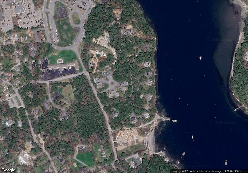
Map
Nearby Homes
- 6 Sea St
- 87 Peabody Drive (Northeast Hrbr)
- 6 Gilpatrick Ln
- 4 Highlands (Northeast Hrbr) Ln
- 30 Neighborhood Rd
- 3 and 5 Graves Lane Harbor NE
- 49 Summit Rd
- 65 Summit Rd
- 16 Millbrook-Northeast Harbor Rd
- 77 Manchester Rd
- 120 Clark Point Rd
- 00 Fernald Point Rd
- 8 Wildwood-Seal Harbor Rd
- 14 Seal Cove Rd
- 6 Cliffhanger
- 332 Seawall Rd
- 471 Main St
- 10 Robinson Ln Unit 18
- 0 Rock Garden Dr
- 52 Rock Garden Dr
- 201 Huntington Place Northeast Ha Unit 201
- 203 Huntington Place Northeast Ha Unit 2
- 00 Huntington Place Harbor NE
- 213 Huntington Place
- 22 Huntington Rd
- 107 Huntington Ln
- 111 Huntington Ln Northeast Harbo Ln
- 111 Huntington Ln
- 4 Clifton Dock Rd
- 8 Clifton Dock Rd
- 0 Huntington Unit 1287156
- 8 Farm Lane (Ne Harbor)
- 8 Fernald Way
- 113 Huntington Ln
- 115 Huntington Ln
- 3 Clifton Dock Lane Harbor NE
- 3 Clifton Dock Road Harbor NE
- 3 Clifton Dock Rd
- 4 Fernald Way
- 7 Fernald Way