Estimated Value: $1,385,000 - $1,808,897
3
Beds
4
Baths
2,799
Sq Ft
$586/Sq Ft
Est. Value
About This Home
This home is located at 207 Kenmont Rd, Kent, CT 06757 and is currently estimated at $1,640,974, approximately $586 per square foot. 207 Kenmont Rd is a home with nearby schools including Kent Center School and Housatonic Valley Regional High School.
Ownership History
Date
Name
Owned For
Owner Type
Purchase Details
Closed on
Aug 23, 2023
Sold by
Martin Michael
Bought by
Stelma Kyle B and Stelma Karissa
Current Estimated Value
Home Financials for this Owner
Home Financials are based on the most recent Mortgage that was taken out on this home.
Original Mortgage
$1,568,640
Outstanding Balance
$1,530,878
Interest Rate
6.96%
Mortgage Type
Purchase Money Mortgage
Estimated Equity
$110,096
Purchase Details
Closed on
Nov 13, 2020
Sold by
Lally Kathleen A
Bought by
Martin Michael
Purchase Details
Closed on
Dec 13, 2004
Sold by
Wyrick Wesley P and Wyrick Nancy Odea
Bought by
Lally Kathleen A
Create a Home Valuation Report for This Property
The Home Valuation Report is an in-depth analysis detailing your home's value as well as a comparison with similar homes in the area
Home Values in the Area
Average Home Value in this Area
Purchase History
| Date | Buyer | Sale Price | Title Company |
|---|---|---|---|
| Stelma Kyle B | $1,535,625 | None Available | |
| Stelma Kyle B | $1,535,625 | None Available | |
| Martin Michael | $75,000 | None Available | |
| Martin Michael | $75,000 | None Available | |
| Lally Kathleen A | $219,000 | -- |
Source: Public Records
Mortgage History
| Date | Status | Borrower | Loan Amount |
|---|---|---|---|
| Open | Stelma Kyle B | $1,568,640 | |
| Closed | Stelma Kyle B | $1,568,640 |
Source: Public Records
Tax History Compared to Growth
Tax History
| Year | Tax Paid | Tax Assessment Tax Assessment Total Assessment is a certain percentage of the fair market value that is determined by local assessors to be the total taxable value of land and additions on the property. | Land | Improvement |
|---|---|---|---|---|
| 2025 | $18,039 | $1,069,300 | $123,300 | $946,000 |
| 2024 | $16,670 | $1,069,300 | $123,300 | $946,000 |
| 2023 | $7,712 | $411,100 | $131,000 | $280,100 |
| 2022 | $3,129 | $168,500 | $131,000 | $37,500 |
| 2021 | $2,113 | $113,800 | $113,800 | $0 |
| 2020 | $2,118 | $113,800 | $113,800 | $0 |
| 2019 | $2,118 | $113,800 | $113,800 | $0 |
| 2018 | $2,533 | $136,100 | $136,100 | $0 |
| 2017 | $2,533 | $136,100 | $136,100 | $0 |
| 2016 | $2,495 | $136,100 | $136,100 | $0 |
| 2015 | $2,431 | $136,100 | $136,100 | $0 |
| 2014 | $2,318 | $136,100 | $136,100 | $0 |
Source: Public Records
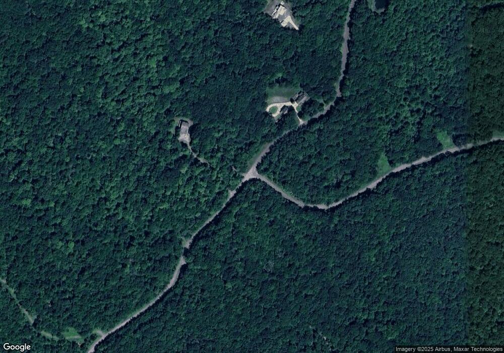
Map
Nearby Homes
- 0 Gorham Rd Unit 24138133
- 0 Mount Mauwee Rd
- 5 Weantinogue Ln
- 23 Mauwee Brook Rd
- 11 Old Paddock Ln
- 0 Stonewall Unit 39
- 441 Segar Mountain Rd
- 0 Richards Rd Unit 24140078
- 00 Upper Kent Hollow Rd
- 50 Brick School Rd
- 13 Cobble Heights Rd
- 73 Upper Kent Hollow Rd
- 308 Skiff Mountain Rd
- 8 Bobcat Ln
- 221 Fuller Mountain Rd
- 14 Straight Rd
- 1 W Woods Rd
- 0 Mountain Lake Rd
- 25 Mountain Lake Rd
- 11 Laurel Mountain Road Extension
- 164 Gorham Rd
- 205 Kenmont Rd
- 7 Gorham Rd
- 90 Gorham Rd
- 71 Gorham Rd
- 16 Gorham Rd
- 0 Gorham Rd Unit 98437383
- 0 Gorham Rd Unit 98422919
- 211 Kenmont Rd
- 7 Gorham Rd
- 5 Gorham Rd
- 28 Mt Mauwee
- 3 Gorham Rd
- 3 Gorham Rd
- 0 Gorham Rd Unit 170050260
- 0 Gorham Rd Unit L130607
- 0 Gorham Rd Unit L131987
- 0 Gorham Rd Unit L133051
- 0 Gorham Rd Unit 24048680
- 2 Gorham Rd