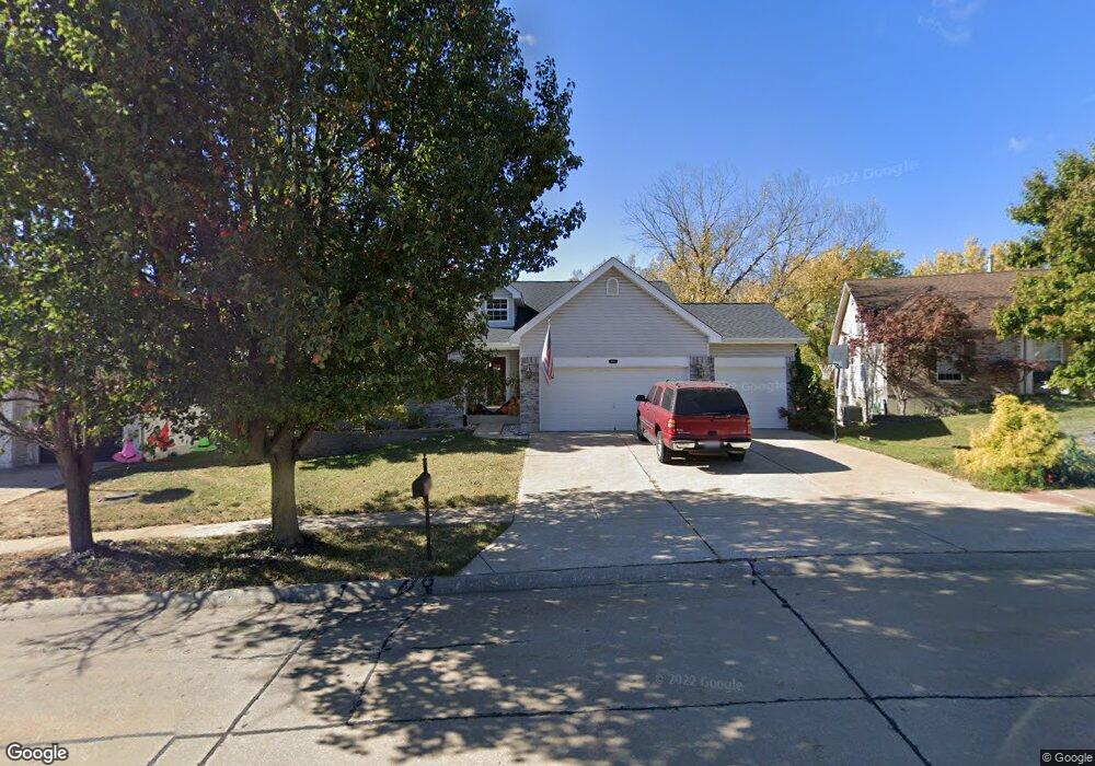
207 Keystone Dr Fenton, MO 63026
Estimated Value: $344,290 - $392,000
--
Bed
--
Bath
1,595
Sq Ft
$232/Sq Ft
Est. Value
About This Home
This home is located at 207 Keystone Dr, Fenton, MO 63026 and is currently estimated at $370,823, approximately $232 per square foot. 207 Keystone Dr is a home located in Jefferson County with nearby schools including George Guffey Elementary School, Ridgewood Middle School, and Fox Senior High School.
Ownership History
Date
Name
Owned For
Owner Type
Purchase Details
Closed on
May 10, 2004
Sold by
Stutko Kelly A and Stutko Arthur N
Bought by
Morgan Lori M
Current Estimated Value
Home Financials for this Owner
Home Financials are based on the most recent Mortgage that was taken out on this home.
Original Mortgage
$212,800
Outstanding Balance
$118,830
Interest Rate
8.3%
Mortgage Type
Purchase Money Mortgage
Estimated Equity
$251,993
Purchase Details
Closed on
May 13, 1999
Sold by
Lawless Homes Inc
Bought by
Stutko Arthur N and Stutko Kelly A
Home Financials for this Owner
Home Financials are based on the most recent Mortgage that was taken out on this home.
Original Mortgage
$152,450
Interest Rate
6.94%
Purchase Details
Closed on
Feb 11, 1999
Sold by
P & M Development Co
Bought by
Lawless Homes Inc
Create a Home Valuation Report for This Property
The Home Valuation Report is an in-depth analysis detailing your home's value as well as a comparison with similar homes in the area
Home Values in the Area
Average Home Value in this Area
Purchase History
| Date | Buyer | Sale Price | Title Company |
|---|---|---|---|
| Morgan Lori M | -- | Commonwealth Land Title | |
| Stutko Arthur N | -- | Commonwealth Title | |
| Lawless Homes Inc | -- | Commonwealth Title |
Source: Public Records
Mortgage History
| Date | Status | Borrower | Loan Amount |
|---|---|---|---|
| Open | Morgan Lori M | $212,800 | |
| Previous Owner | Stutko Arthur N | $152,450 |
Source: Public Records
Tax History Compared to Growth
Tax History
| Year | Tax Paid | Tax Assessment Tax Assessment Total Assessment is a certain percentage of the fair market value that is determined by local assessors to be the total taxable value of land and additions on the property. | Land | Improvement |
|---|---|---|---|---|
| 2025 | $2,836 | $43,600 | $9,600 | $34,000 |
| 2024 | $2,836 | $38,700 | $7,700 | $31,000 |
| 2023 | $2,836 | $38,700 | $7,700 | $31,000 |
| 2022 | $2,627 | $35,800 | $4,800 | $31,000 |
| 2021 | $2,626 | $35,800 | $4,800 | $31,000 |
| 2020 | $2,524 | $32,400 | $4,200 | $28,200 |
| 2019 | $2,527 | $32,400 | $4,200 | $28,200 |
| 2018 | $2,519 | $32,400 | $4,200 | $28,200 |
| 2017 | $2,443 | $32,400 | $4,200 | $28,200 |
| 2016 | $2,267 | $30,200 | $4,000 | $26,200 |
| 2015 | $2,192 | $30,200 | $4,000 | $26,200 |
| 2013 | -- | $29,600 | $4,000 | $25,600 |
Source: Public Records
Map
Nearby Homes
- 136 Winter Valley Dr
- 845 Kingston Hills Ct
- 1077 Big Sky Dr
- 813 Kingston Hills Ct
- 104 Fenton Park Ct
- 150 Winter Park Ct
- 990 Hydeaway Ct
- 41 San Marino Pkwy
- 802 Fox Creek Dr
- 2 Bluebird Ln
- 651 Green Jade Dr Unit G
- 642 S Old Highway 141 Unit F
- 166 Samarra Estates Dr Unit G
- 615 Corisande Hill Rd
- 465 Winter Bluff Dr
- 1010 Winter Lake Dr
- 115 Harbor Ct
- 8 Park Lawn Dr
- 5034 Corisande Woods Dr
- 2 Autumn Bluffs Ct
- 203 Keystone Dr
- 211 Keystone Dr
- 215 Keystone Dr
- 199 Keystone Dr
- 208 Keystone Dr
- 200 Keystone Dr
- 219 Keystone Dr
- 216 Keystone Dr
- 195 Keystone Dr
- 196 Keystone Dr
- 1099 Winter Park Dr
- 1103 Winter Park Dr
- 223 Keystone Dr
- 220 Keystone Dr
- 1107 Winter Park Dr
- 192 Keystone Dr
- 191 Keystone Dr
- 122 Winter Valley Dr
- 1095 Winter Park Dr
- 126 Winter Valley Dr