207 Knapp Rd Lansdale, PA 19446
Estimated Value: $636,000 - $737,309
4
Beds
3
Baths
2,768
Sq Ft
$253/Sq Ft
Est. Value
About This Home
This home is located at 207 Knapp Rd, Lansdale, PA 19446 and is currently estimated at $699,577, approximately $252 per square foot. 207 Knapp Rd is a home located in Montgomery County with nearby schools including Knapp Elementary School, Penndale Middle School, and North Penn Senior High School.
Ownership History
Date
Name
Owned For
Owner Type
Purchase Details
Closed on
Oct 19, 2006
Sold by
Daknis Pamela C
Bought by
Daknis Frank J and Daknis Pamela C
Current Estimated Value
Home Financials for this Owner
Home Financials are based on the most recent Mortgage that was taken out on this home.
Original Mortgage
$267,500
Outstanding Balance
$159,711
Interest Rate
6.47%
Estimated Equity
$539,866
Purchase Details
Closed on
Jan 31, 2003
Sold by
Fink Carol S
Bought by
Daknis Pamela C
Purchase Details
Closed on
May 15, 2000
Sold by
Fink E David and Fink Carol S
Bought by
Fink Carol S
Create a Home Valuation Report for This Property
The Home Valuation Report is an in-depth analysis detailing your home's value as well as a comparison with similar homes in the area
Home Values in the Area
Average Home Value in this Area
Purchase History
| Date | Buyer | Sale Price | Title Company |
|---|---|---|---|
| Daknis Frank J | -- | None Available | |
| Daknis Pamela C | $265,000 | -- | |
| Daknis Pamela C | $265,000 | -- | |
| Fink Carol S | -- | -- |
Source: Public Records
Mortgage History
| Date | Status | Borrower | Loan Amount |
|---|---|---|---|
| Open | Daknis Frank J | $267,500 |
Source: Public Records
Tax History Compared to Growth
Tax History
| Year | Tax Paid | Tax Assessment Tax Assessment Total Assessment is a certain percentage of the fair market value that is determined by local assessors to be the total taxable value of land and additions on the property. | Land | Improvement |
|---|---|---|---|---|
| 2025 | $8,037 | $215,460 | -- | -- |
| 2024 | $8,037 | $215,460 | -- | -- |
| 2023 | $7,667 | $215,460 | $0 | $0 |
| 2022 | $7,399 | $215,460 | $0 | $0 |
| 2021 | $6,956 | $215,460 | $0 | $0 |
| 2020 | $6,773 | $215,460 | $0 | $0 |
| 2019 | $6,647 | $215,460 | $0 | $0 |
| 2018 | $1,105 | $215,460 | $0 | $0 |
| 2017 | $6,067 | $205,460 | $43,660 | $161,800 |
| 2016 | $5,987 | $205,460 | $43,660 | $161,800 |
| 2015 | $5,870 | $205,460 | $43,660 | $161,800 |
| 2014 | $5,717 | $205,460 | $43,660 | $161,800 |
Source: Public Records
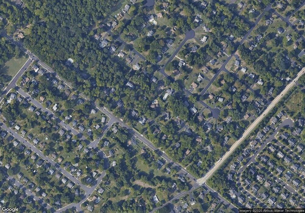
Map
Nearby Homes
- 964 Knapp Rd
- 502 Williamsburg Rd
- 825 Monticello Place
- 3103 Hemmingway Dr
- 873 Lombardy Dr
- 3406 Elizabeths Ct
- 1506 Naomis Ct
- 220 Hampton Green Dr
- 1114 W Thomas Rd
- 1101 Barbaras Ct
- 115 Castle Dr
- 1014 Lansdale Ave
- 1103 Lansdale Ave
- 1204 Vilsmeier Rd
- 1107 Lansdale Ave
- 102 Gwynmont Dr
- 117 Gwynmont Dr
- 107 David Ln
- 323 Edgewood Ave
- 111 Country Ln