207 Lansing Station Rd Lansing, NY 14882
Estimated Value: $528,000 - $812,000
4
Beds
3
Baths
2,080
Sq Ft
$322/Sq Ft
Est. Value
About This Home
This home is located at 207 Lansing Station Rd, Lansing, NY 14882 and is currently estimated at $670,788, approximately $322 per square foot. 207 Lansing Station Rd is a home located in Tompkins County with nearby schools including Raymond C. Buckley Elementary School, Lansing Middle School, and Lansing High School.
Ownership History
Date
Name
Owned For
Owner Type
Purchase Details
Closed on
Jun 20, 2006
Sold by
Johnson Robert L
Bought by
Boerman Brian J
Current Estimated Value
Home Financials for this Owner
Home Financials are based on the most recent Mortgage that was taken out on this home.
Original Mortgage
$216,000
Outstanding Balance
$53,805
Interest Rate
6.59%
Mortgage Type
Unknown
Estimated Equity
$616,983
Purchase Details
Closed on
Jul 25, 2001
Sold by
Johnson Robert L
Bought by
Johnson Robert L
Create a Home Valuation Report for This Property
The Home Valuation Report is an in-depth analysis detailing your home's value as well as a comparison with similar homes in the area
Home Values in the Area
Average Home Value in this Area
Purchase History
| Date | Buyer | Sale Price | Title Company |
|---|---|---|---|
| Boerman Brian J | $270,000 | Randall Marcus | |
| Johnson Robert L | -- | Elizabeth Bixler | |
| Finney Kathleen | -- | Elizabeth Bixler |
Source: Public Records
Mortgage History
| Date | Status | Borrower | Loan Amount |
|---|---|---|---|
| Open | Boerman Brian J | $216,000 |
Source: Public Records
Tax History Compared to Growth
Tax History
| Year | Tax Paid | Tax Assessment Tax Assessment Total Assessment is a certain percentage of the fair market value that is determined by local assessors to be the total taxable value of land and additions on the property. | Land | Improvement |
|---|---|---|---|---|
| 2024 | $11,513 | $460,000 | $53,100 | $406,900 |
| 2023 | $9,831 | $356,000 | $53,100 | $302,900 |
| 2022 | $9,212 | $339,000 | $53,100 | $285,900 |
| 2021 | $9,695 | $323,000 | $53,100 | $269,900 |
| 2020 | $9,163 | $323,000 | $53,100 | $269,900 |
| 2019 | $2,900 | $323,000 | $53,100 | $269,900 |
| 2018 | $9,067 | $323,000 | $53,100 | $269,900 |
| 2017 | $9,091 | $323,000 | $40,600 | $282,400 |
| 2016 | $9,042 | $323,000 | $40,600 | $282,400 |
| 2015 | -- | $323,000 | $40,600 | $282,400 |
| 2014 | -- | $308,000 | $40,600 | $267,400 |
Source: Public Records
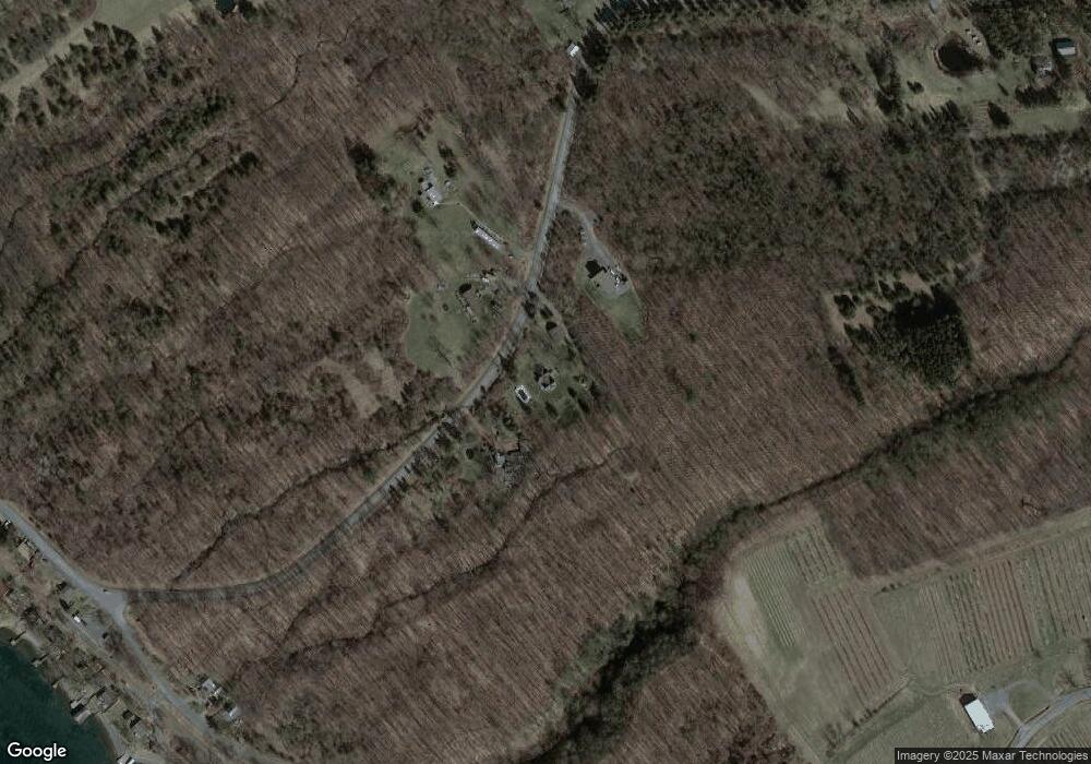
Map
Nearby Homes
- 0 Lansing Station Rd Unit R1588754
- 0 Lansing Station Rd Unit 408039
- 83 Algerine Rd
- 5234 Oak Harbor Rd- Lot #10
- 5217 Oak Harbor Rd
- 108 Davis Rd
- 0 Frontenac Rd
- 3040 Frontenac Rd
- 0 Salmon Creek Rd
- 132 Brickyard Rd
- 4364 Lower Covert Rd
- 0 Seneca St
- Lot 2 Camp St
- Lot 3 Camp St
- 0 Camp St
- 89 Brickyard Rd
- 22 Ladoga Park Rd
- 7221 Halseyville Rd
- 14 Crescent Way
- 4 Crescent Way
- 219 Lansing Station Rd
- 197 Lansing Station Rd
- 204 Lansing Station Rd
- 202 Lansing Station Rd
- 205 Lansing Station Rd
- 0 Lansing Station Rd Unit 132967
- 0 Lansing Station Rd Unit R1501071
- 0 Lansing Station Rd Unit 309904
- 0 Lansing Station Rd Unit 406536
- 0 Lansing Station Rd Unit 408040
- 0 Lansing Station Rd Unit 407615
- 0 Lansing Station Rd Unit 407995
- 0 Lansing Station Rd
- 2 Ludlow Rd
- 00 Ludlow Rd
- 3 Bill George Rd
- 269 Lansing Station Rd
- 178 Sweazey Rd
- 10 Bill George Rd
- 265 Lansing Station Rd