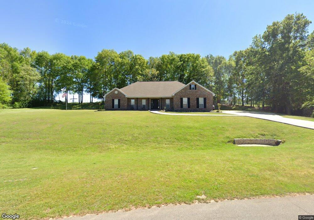
207 Latigo Loop Sumrall, MS 39482
Estimated Value: $277,082 - $325,000
3
Beds
3
Baths
1,974
Sq Ft
$148/Sq Ft
Est. Value
About This Home
This home is located at 207 Latigo Loop, Sumrall, MS 39482 and is currently estimated at $291,521, approximately $147 per square foot. 207 Latigo Loop is a home located in Lamar County with nearby schools including Sumrall Elementary School, Sumrall Middle School, and Sumrall High School.
Ownership History
Date
Name
Owned For
Owner Type
Purchase Details
Closed on
Apr 3, 2009
Sold by
Mcnabb Chad and Mcnabb Joy
Bought by
Hester Jared A and Hester Amy M
Current Estimated Value
Home Financials for this Owner
Home Financials are based on the most recent Mortgage that was taken out on this home.
Original Mortgage
$171,829
Outstanding Balance
$109,549
Interest Rate
5.18%
Mortgage Type
FHA
Estimated Equity
$181,972
Purchase Details
Closed on
Feb 7, 2008
Sold by
Roney Dwain
Home Financials for this Owner
Home Financials are based on the most recent Mortgage that was taken out on this home.
Original Mortgage
$175,180
Interest Rate
5.85%
Create a Home Valuation Report for This Property
The Home Valuation Report is an in-depth analysis detailing your home's value as well as a comparison with similar homes in the area
Purchase History
| Date | Buyer | Sale Price | Title Company |
|---|---|---|---|
| Hester Jared A | $175,000 | -- | |
| -- | -- | -- |
Source: Public Records
Mortgage History
| Date | Status | Borrower | Loan Amount |
|---|---|---|---|
| Open | Hester Jared A | $171,829 | |
| Previous Owner | -- | $175,180 |
Source: Public Records
Tax History
| Year | Tax Paid | Tax Assessment Tax Assessment Total Assessment is a certain percentage of the fair market value that is determined by local assessors to be the total taxable value of land and additions on the property. | Land | Improvement |
|---|---|---|---|---|
| 2025 | $2,844 | $18,444 | $0 | $0 |
| 2024 | $2,844 | $18,444 | $0 | $0 |
| 2023 | $2,844 | $18,444 | $0 | $0 |
| 2022 | $2,088 | $15,487 | $0 | $0 |
| 2021 | $2,064 | $15,487 | $0 | $0 |
| 2020 | $2,064 | $15,487 | $0 | $0 |
| 2019 | $2,064 | $15,487 | $0 | $0 |
| 2018 | $2,028 | $15,252 | $0 | $0 |
| 2017 | $1,935 | $14,641 | $0 | $0 |
| 2015 | $1,979 | $14,929 | $0 | $0 |
| 2014 | -- | $14,940 | $0 | $0 |
| 2013 | -- | $15,425 | $0 | $0 |
Source: Public Records
Map
Nearby Homes
- 171 Latigo Loop
- 150 Latigo Loop
- 4519 Mississippi 589
- 4519 Highway 589
- 25 A Broome Rd
- 1562 Oloh Rd
- 59 Hemingway Dr
- 4264 Mississippi 589
- 9 Sanctuary Ln
- 76 Meadow Breeze Dr
- 0 Mississippi 589
- 27 Wabash Way
- 23 Wabash Way
- 28 J D Aultman Rd
- 19 Wabash Way
- 4837 Mississippi 589
- 4837 Highway 589
- 49 Stuart Rd
- 000 Rocky Branch Rd
- 10 Crossbuck Rd
- 201 Latigo Loop
- 200 Latigo Loop
- 215 Latigo Loop
- 214 Latigo Loop
- 195 Latigo Loop
- 190 Latigo Loop
- 220 Latigo Loop
- 12 Grandview Dr
- 8 Grandview Dr
- 92 Crossland Rd
- 186 Latigo Loop
- 185 Latigo Loop
- 100 Crossland Rd
- 0 Crossland
- 65 Grandview Dr
- 180 Latigo Loop
- 9 Grandview Dr
- 77 Crossland Rd
- 85 Crossland Rd
- 181 Latigo Loop
Your Personal Tour Guide
Ask me questions while you tour the home.