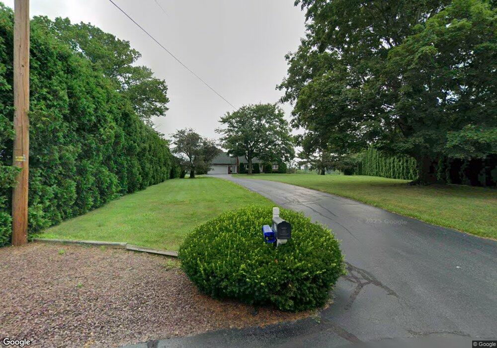
207 Lee St Bloomsburg, PA 17815
Estimated Value: $194,916 - $303,000
--
Bed
--
Bath
1,728
Sq Ft
$158/Sq Ft
Est. Value
About This Home
This home is located at 207 Lee St, Bloomsburg, PA 17815 and is currently estimated at $273,479, approximately $158 per square foot. 207 Lee St is a home located in Columbia County with nearby schools including Central Columbia Elementary School, Central Columbia Middle School, and Central Columbia Senior High School.
Ownership History
Date
Name
Owned For
Owner Type
Purchase Details
Closed on
Jun 6, 1997
Bought by
Rafel James E and Rafel Kristen A
Current Estimated Value
Purchase Details
Closed on
May 19, 1997
Bought by
Dworsak Richard R and Dworsak Lana M
Purchase Details
Closed on
Dec 14, 1994
Bought by
Novatnak Timothy and Novatnak Karen M
Purchase Details
Closed on
Jan 1, 1991
Bought by
Howell Doris
Purchase Details
Closed on
Nov 21, 1989
Bought by
Malin Vernon C and Malin Sarah M
Purchase Details
Closed on
May 14, 1986
Bought by
Lizardi Douglas E and Lizardi Debbie S
Create a Home Valuation Report for This Property
The Home Valuation Report is an in-depth analysis detailing your home's value as well as a comparison with similar homes in the area
Home Values in the Area
Average Home Value in this Area
Purchase History
| Date | Buyer | Sale Price | Title Company |
|---|---|---|---|
| Rafel James E | $25,000 | -- | |
| Dworsak Richard R | $137,000 | -- | |
| Novatnak Timothy | $34,500 | -- | |
| Howell Doris | $400 | -- | |
| Malin Vernon C | $23,900 | -- | |
| Lizardi Douglas E | $15,000 | -- |
Source: Public Records
Tax History Compared to Growth
Tax History
| Year | Tax Paid | Tax Assessment Tax Assessment Total Assessment is a certain percentage of the fair market value that is determined by local assessors to be the total taxable value of land and additions on the property. | Land | Improvement |
|---|---|---|---|---|
| 2025 | $2,704 | $38,860 | $0 | $0 |
| 2024 | $2,637 | $38,860 | $7,928 | $30,932 |
| 2023 | $2,520 | $38,860 | $7,928 | $30,932 |
| 2022 | $2,474 | $38,860 | $7,928 | $30,932 |
| 2021 | $2,452 | $38,860 | $7,928 | $30,932 |
| 2020 | $2,368 | $38,860 | $7,928 | $30,932 |
| 2019 | $2,320 | $38,860 | $7,928 | $30,932 |
| 2018 | $2,312 | $38,860 | $7,928 | $30,932 |
| 2017 | $2,649 | $38,860 | $7,928 | $30,932 |
| 2016 | -- | $38,860 | $7,928 | $30,932 |
| 2015 | -- | $38,860 | $7,928 | $30,932 |
| 2014 | -- | $38,860 | $7,928 | $30,932 |
Source: Public Records
Map
Nearby Homes
- 0 Alliance Park Dr
- 0 Alliance Park Lot 6 Dr
- 9 Crestmont Cir
- LOT #3 Sawmill Rd
- 568 Beilys Rd
- 21 Levi St
- 11 Amanda Dr
- 34 Fowlersville Rd
- 14 Fowlersville Rd
- 1251 Chestnut St
- 1246 Cherry St
- 1277 Cherry St
- 1311 Sassafras St
- 135 Ash St
- 107 E Pebble Ln
- 1 Bittersweet Dr
- 1219 Maple St
- 2882 Lackawanna Ave
- 139 Rotary St
- 2468 3rd St
- 0 NW Interchange I-80
- 203 Lee St
- 2418 Reichart Rd
- 2415 Reichart Rd
- 2419 Reichart Rd
- 2414 Reichart Rd
- 2411 Reichart Rd
- 2410 Reichart Rd
- 4063 Sawmill Rd
- 2409 Reichart Rd
- 4089 Sawmill Rd
- 1304 State Route 487
- 823 Central Rd
- 10 Lee St
- 852 Central Rd
- 11 Lee St
- 1111 Main St
- 13000 Cub Cir
- 17000 Cub Cir
- 21 Lee St