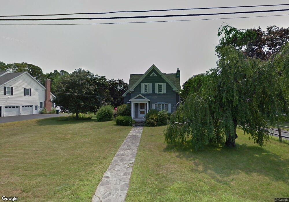
207 Maple St West Boylston, MA 01583
Estimated Value: $656,000 - $867,000
4
Beds
3
Baths
2,517
Sq Ft
$283/Sq Ft
Est. Value
About This Home
This home is located at 207 Maple St, West Boylston, MA 01583 and is currently estimated at $713,293, approximately $283 per square foot. 207 Maple St is a home located in Worcester County with nearby schools including Major Edwards Elementary School, West Boylston Junior/Senior High School, and Abby Kelley Foster Charter Public School.
Ownership History
Date
Name
Owned For
Owner Type
Purchase Details
Closed on
Jul 30, 2007
Sold by
Bostek Kristine K and Bostek Scott J
Bought by
Thompson William R
Current Estimated Value
Home Financials for this Owner
Home Financials are based on the most recent Mortgage that was taken out on this home.
Original Mortgage
$300,000
Interest Rate
6.78%
Mortgage Type
Purchase Money Mortgage
Purchase Details
Closed on
Sep 28, 2005
Sold by
Bostek Kristine K and Bostek Scott J
Bought by
Handy George E and Handy Valerie A
Purchase Details
Closed on
Aug 2, 1999
Sold by
Smith Marion C
Bought by
Bostek Scott J and Bostek Kristine K
Create a Home Valuation Report for This Property
The Home Valuation Report is an in-depth analysis detailing your home's value as well as a comparison with similar homes in the area
Home Values in the Area
Average Home Value in this Area
Purchase History
| Date | Buyer | Sale Price | Title Company |
|---|---|---|---|
| Thompson William R | $380,000 | -- | |
| Handy George E | $172,500 | -- | |
| Bostek Scott J | $300,000 | -- |
Source: Public Records
Mortgage History
| Date | Status | Borrower | Loan Amount |
|---|---|---|---|
| Open | Bostek Scott J | $210,000 | |
| Closed | Bostek Scott J | $256,000 | |
| Closed | Thompson William R | $300,000 | |
| Previous Owner | Bostek Scott J | $220,000 | |
| Previous Owner | Bostek Scott J | $199,000 |
Source: Public Records
Tax History
| Year | Tax Paid | Tax Assessment Tax Assessment Total Assessment is a certain percentage of the fair market value that is determined by local assessors to be the total taxable value of land and additions on the property. | Land | Improvement |
|---|---|---|---|---|
| 2025 | $86 | $617,600 | $126,700 | $490,900 |
| 2024 | $8,162 | $552,200 | $126,700 | $425,500 |
| 2023 | $8,740 | $561,000 | $124,700 | $436,300 |
| 2022 | $7,640 | $432,100 | $124,700 | $307,400 |
| 2021 | $7,476 | $405,000 | $108,700 | $296,300 |
| 2020 | $6,823 | $367,200 | $108,700 | $258,500 |
| 2019 | $6,503 | $345,000 | $108,700 | $236,300 |
| 2018 | $6,125 | $327,200 | $108,700 | $218,500 |
| 2017 | $6,067 | $322,700 | $108,700 | $214,000 |
| 2016 | $5,874 | $318,400 | $101,100 | $217,300 |
| 2015 | $5,458 | $297,600 | $100,300 | $197,300 |
Source: Public Records
Map
Nearby Homes
- 20 Highland Ave
- 1 Highland Ave
- 6 Meadowbrook Dr
- 48 Whispering Pine Cir Unit 48
- 71 Hillside Village Dr
- 55 Apthorp St
- 1110 W Boylston St Unit A
- 69 Santoro Rd
- 12 Beale St
- 10 Beale St
- 22 Danielles Way
- 26 Danielles Way
- 31 Danielles Way
- 154 Prospect St
- 30 Osgood Ave
- 38 Juniper Ln
- 53 Collins St
- 39 Mountainshire Dr
- 12 Pinecroft Ave
- 24 Blake Ave
- 201 Maple St
- 202 Maple St
- 217 Maple St
- 24 Shrewsbury St
- 7 Kings Mountain Dr
- 8 Shrewsbury St
- 4 Valley Forge Cir
- 194 Maple St
- 6 Kings Mountain Dr
- 2 Shrewsbury St
- 1 Shrewsbury St
- 192 Maple St
- 220 Maple St
- 221 Maple St
- 21 Shrewsbury St
- 21 Shrewsbury St
- 9 Valley Forge Cir
- 26 Shrewsbury St
- 6 Valley Forge Cir
- 23 Shrewsbury St
Your Personal Tour Guide
Ask me questions while you tour the home.