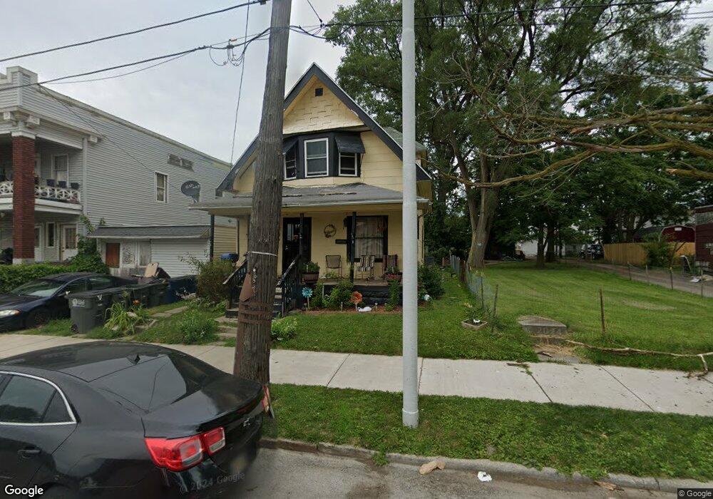
207 Maumee Ave Toledo, OH 43609
Southside NeighborhoodEstimated Value: $54,708 - $74,000
3
Beds
1
Bath
1,201
Sq Ft
$53/Sq Ft
Est. Value
About This Home
This home is located at 207 Maumee Ave, Toledo, OH 43609 and is currently estimated at $64,177, approximately $53 per square foot. 207 Maumee Ave is a home located in Lucas County with nearby schools including Marshall Stemm Academy, Jesup W. Scott High School, and Summit Academy - Toledo.
Ownership History
Date
Name
Owned For
Owner Type
Purchase Details
Closed on
Nov 6, 2012
Sold by
Robinson Gregory G
Bought by
Jones Linda F
Current Estimated Value
Purchase Details
Closed on
Mar 20, 2006
Sold by
Hernandez Felix Y and Kapszukiewicz Wade
Bought by
Robinson Gregory and Robinson Katie
Purchase Details
Closed on
Feb 19, 2003
Sold by
Hernandez Ernest Y and Hernandez Maria T
Bought by
Hernandez Felix Y
Purchase Details
Closed on
Nov 6, 1998
Sold by
Hernandez Elosia
Bought by
Hernandez Ernest Y and Hernandez Maria T
Purchase Details
Closed on
Dec 21, 1988
Sold by
Hernandez Hernandez F F and Hernandez E
Create a Home Valuation Report for This Property
The Home Valuation Report is an in-depth analysis detailing your home's value as well as a comparison with similar homes in the area
Home Values in the Area
Average Home Value in this Area
Purchase History
| Date | Buyer | Sale Price | Title Company |
|---|---|---|---|
| Jones Linda F | $100,000 | None Available | |
| Robinson Gregory | $4,500 | None Available | |
| Hernandez Felix Y | -- | -- | |
| Hernandez Ernest Y | -- | -- | |
| -- | -- | -- |
Source: Public Records
Tax History
| Year | Tax Paid | Tax Assessment Tax Assessment Total Assessment is a certain percentage of the fair market value that is determined by local assessors to be the total taxable value of land and additions on the property. | Land | Improvement |
|---|---|---|---|---|
| 2025 | $2,214 | $9,100 | $1,225 | $7,875 |
| 2024 | $1,959 | $9,100 | $1,225 | $7,875 |
| 2023 | $557 | $7,420 | $1,085 | $6,335 |
| 2022 | $552 | $7,420 | $1,085 | $6,335 |
| 2021 | $560 | $7,420 | $1,085 | $6,335 |
| 2020 | $589 | $6,860 | $1,260 | $5,600 |
| 2019 | $576 | $6,860 | $1,260 | $5,600 |
| 2018 | $580 | $6,860 | $1,260 | $5,600 |
| 2017 | $1,593 | $6,685 | $1,225 | $5,460 |
| 2016 | $1,124 | $19,100 | $3,500 | $15,600 |
| 2015 | $586 | $19,100 | $3,500 | $15,600 |
| 2014 | $631 | $6,690 | $1,230 | $5,460 |
| 2013 | $421 | $6,690 | $1,230 | $5,460 |
Source: Public Records
Map
Nearby Homes
- 205 Courtland Ave
- 318 Courtland Ave
- 435 Crittenden Ave
- 205 Eastern Ave
- 285 Walbridge Ave
- 717 Segur Ave
- 702 Boalt St
- 520 Emerald Ave
- 251 Knower St
- 18 City Park Ave
- 323 Langdon St
- 650 Curtis St
- 325 Chapin St
- 578 Prouty Ave
- 410 Langdon St
- 581 Prouty Ave
- 825 Colburn St
- 860 Prouty Ave
- 765 Redwood Ave
- 708 Bowman St