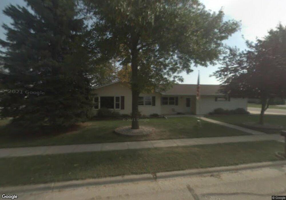
207 N 9th Ave Winneconne, WI 54986
Estimated Value: $303,000 - $411,000
3
Beds
2
Baths
2,273
Sq Ft
$163/Sq Ft
Est. Value
About This Home
This home is located at 207 N 9th Ave, Winneconne, WI 54986 and is currently estimated at $369,462, approximately $162 per square foot. 207 N 9th Ave is a home located in Winnebago County with nearby schools including Winneconne Elementary School, Winneconne Middle School, and Winneconne High School.
Ownership History
Date
Name
Owned For
Owner Type
Purchase Details
Closed on
Apr 29, 2016
Sold by
Fraser Virginia N
Bought by
Trilling Benjamin P and Trilling Tricia Ann
Current Estimated Value
Home Financials for this Owner
Home Financials are based on the most recent Mortgage that was taken out on this home.
Original Mortgage
$92,000
Outstanding Balance
$73,405
Interest Rate
3.73%
Mortgage Type
New Conventional
Estimated Equity
$296,057
Purchase Details
Closed on
Aug 19, 2008
Sold by
Associated Trust Co Na
Bought by
Fraser Virginia N
Create a Home Valuation Report for This Property
The Home Valuation Report is an in-depth analysis detailing your home's value as well as a comparison with similar homes in the area
Home Values in the Area
Average Home Value in this Area
Purchase History
| Date | Buyer | Sale Price | Title Company |
|---|---|---|---|
| Trilling Benjamin P | $162,000 | None Available | |
| Fraser Virginia N | $200,000 | None Available |
Source: Public Records
Mortgage History
| Date | Status | Borrower | Loan Amount |
|---|---|---|---|
| Open | Trilling Benjamin P | $92,000 |
Source: Public Records
Tax History Compared to Growth
Tax History
| Year | Tax Paid | Tax Assessment Tax Assessment Total Assessment is a certain percentage of the fair market value that is determined by local assessors to be the total taxable value of land and additions on the property. | Land | Improvement |
|---|---|---|---|---|
| 2024 | $5,417 | $264,700 | $25,500 | $239,200 |
| 2023 | $5,242 | $264,700 | $25,500 | $239,200 |
| 2022 | $4,894 | $264,700 | $25,500 | $239,200 |
| 2021 | $4,697 | $264,700 | $25,500 | $239,200 |
| 2020 | $4,189 | $175,000 | $20,500 | $154,500 |
| 2019 | $4,049 | $175,000 | $20,500 | $154,500 |
| 2018 | $3,994 | $175,000 | $20,500 | $154,500 |
| 2017 | $3,995 | $175,000 | $20,500 | $154,500 |
| 2016 | $3,906 | $175,000 | $20,500 | $154,500 |
| 2015 | $3,985 | $175,000 | $20,500 | $154,500 |
| 2014 | -- | $175,000 | $20,500 | $154,500 |
| 2013 | -- | $175,000 | $20,500 | $154,500 |
Source: Public Records
Map
Nearby Homes
- 1107 Twin Harbor Dr
- 135 Twin Harbor Dr
- 650 S 5th Ave
- 5895 Lasley Point Rd
- 118 N 5th St
- 155 Washington St
- 135 Washington St
- 1140 Barbary Ln
- 1128 Aster Ln
- 0 Formiller Rd
- 5326 Everbreeze Dr
- 5915 Oak Lane Dr
- 5927 Oak Lane Dr
- 5049 Washington St
- 7117 Clark Point Rd
- 0 Cross Rd
- 7128 Windmill Dr
- 7196 La Belle Shore Rd
- 0 Quigley Rd
- 5429 Broderick Rd