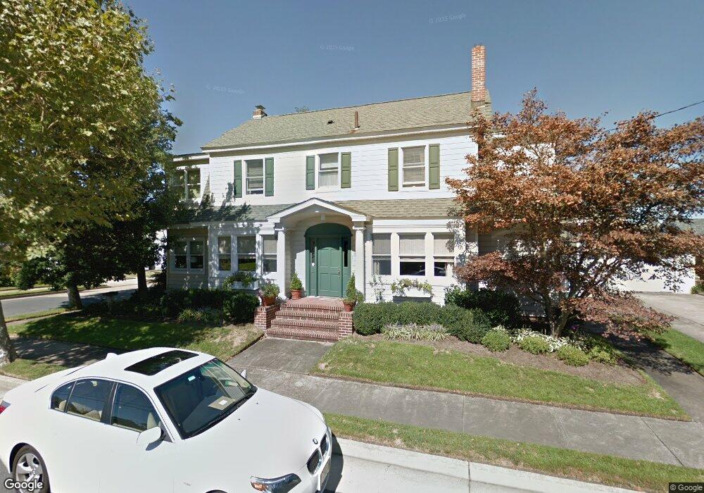
207 N Lancaster Ave Margate City, NJ 08402
Estimated Value: $1,740,223 - $2,425,000
--
Bed
--
Bath
2,820
Sq Ft
$763/Sq Ft
Est. Value
About This Home
This home is located at 207 N Lancaster Ave, Margate City, NJ 08402 and is currently estimated at $2,151,056, approximately $762 per square foot. 207 N Lancaster Ave is a home with nearby schools including William H. Ross III Intermediate School, Eugene A. Tighe Middle School, and Blessed Sacrament Regional School.
Ownership History
Date
Name
Owned For
Owner Type
Purchase Details
Closed on
Nov 23, 2020
Sold by
Stein Richard and Handali Shari
Bought by
Handali Shari
Current Estimated Value
Purchase Details
Closed on
Jan 22, 2020
Sold by
Stein Richard and Handali Shari
Bought by
Handali Shari
Home Financials for this Owner
Home Financials are based on the most recent Mortgage that was taken out on this home.
Interest Rate
3.65%
Purchase Details
Closed on
Dec 23, 2016
Sold by
Finkenauer Kurt L and Finkenauer Wendy
Bought by
Stein Richard and Handall Shari
Create a Home Valuation Report for This Property
The Home Valuation Report is an in-depth analysis detailing your home's value as well as a comparison with similar homes in the area
Home Values in the Area
Average Home Value in this Area
Purchase History
| Date | Buyer | Sale Price | Title Company |
|---|---|---|---|
| Handali Shari | -- | None Available | |
| Handali Shari | -- | -- | |
| Stein Richard | $300,000 | None Available |
Source: Public Records
Mortgage History
| Date | Status | Borrower | Loan Amount |
|---|---|---|---|
| Closed | Handali Shari | -- |
Source: Public Records
Tax History Compared to Growth
Tax History
| Year | Tax Paid | Tax Assessment Tax Assessment Total Assessment is a certain percentage of the fair market value that is determined by local assessors to be the total taxable value of land and additions on the property. | Land | Improvement |
|---|---|---|---|---|
| 2025 | $12,395 | $725,700 | $260,900 | $464,800 |
| 2024 | $12,395 | $725,700 | $260,900 | $464,800 |
| 2023 | $11,452 | $725,700 | $260,900 | $464,800 |
| 2022 | $11,452 | $725,700 | $260,900 | $464,800 |
| 2021 | $11,292 | $725,700 | $260,900 | $464,800 |
| 2020 | $11,234 | $725,700 | $260,900 | $464,800 |
| 2019 | $11,190 | $725,700 | $260,900 | $464,800 |
| 2018 | $7,659 | $490,000 | $260,900 | $229,100 |
| 2017 | $4,083 | $260,900 | $260,900 | $0 |
Source: Public Records
Map
Nearby Homes
- 215 N Nassau Ave
- 116 N Lancaster Ave
- 216 N Jerome Ave
- 111 N Mansfield Ave
- 212 N Pembroke Ave
- 403 N Lancaster Ave
- 8407 Fremont Ave
- 121 N Quincy Ave
- 12 Edgemar Cir
- 17 N Mansfield Ave
- 121 N Rumson Ave
- 31 N Jasper Ave
- 6 N Lancaster Ave
- 300 N Huntington Ave
- 2 N Pembroke Ave
- 437 N Rumson Ave
- 304 N Thurlow Ave
- 316 N Thurlow Ave
- 5 N Iroquois Ave
- 323 N Huntington Ave
- 213 N Lancaster Ave
- 209 N Lancaster Ave
- 210 N Lancaster Ave
- 208 N Lancaster Ave
- 205 N Lancaster Ave
- 215 N Lancaster Ave
- 212 N Lancaster Ave
- 206 N Lancaster Ave
- 208 N Kenyon Ave
- 214 N Lancaster Ave
- 210 N Kenyon Ave
- 206 N Kenyon Ave
- 204 N Lancaster Ave
- 212 N Kenyon Ave
- 204 N Kenyon Ave
- 217 N Lancaster Ave
- 201 N Lancaster Ave
- 216 N Lancaster Ave
- 214 N Kenyon Ave
- 202 N Lancaster Ave