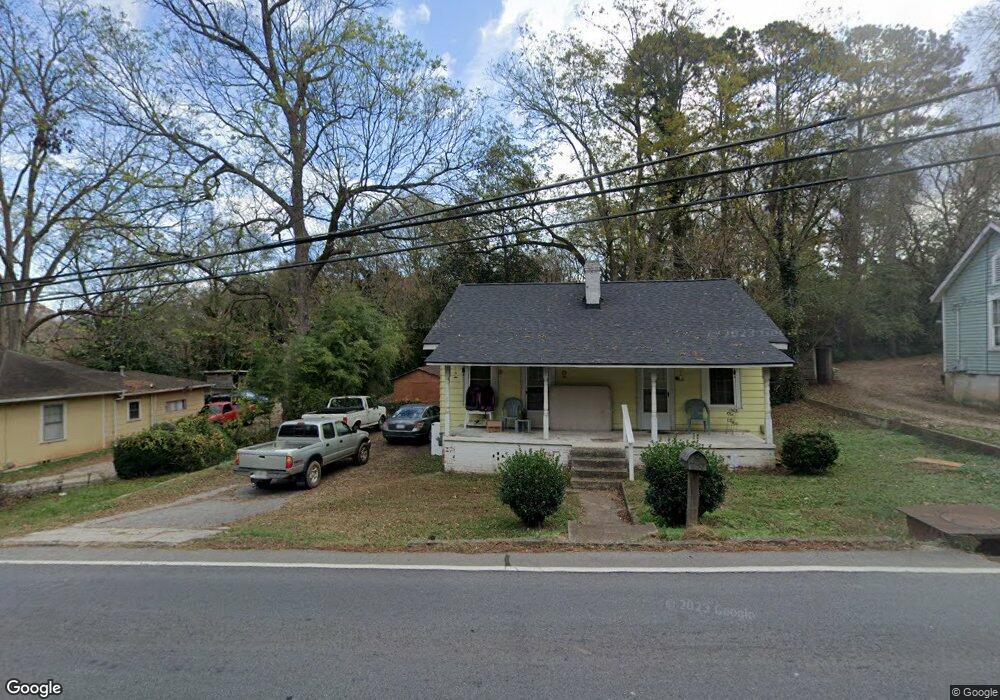
207 N Laurel Ave Greensboro, GA 30642
Estimated Value: $49,000 - $380,000
3
Beds
2
Baths
2,232
Sq Ft
$95/Sq Ft
Est. Value
About This Home
This home is located at 207 N Laurel Ave, Greensboro, GA 30642 and is currently estimated at $212,008, approximately $94 per square foot. 207 N Laurel Ave is a home located in Greene County with nearby schools including Greene County High School.
Ownership History
Date
Name
Owned For
Owner Type
Purchase Details
Closed on
Jun 6, 2017
Bought by
Hartwell Jonathan Heath
Current Estimated Value
Purchase Details
Closed on
Mar 9, 1998
Sold by
Pearson Rico
Bought by
Snipes Billy J
Purchase Details
Closed on
Aug 1, 1997
Sold by
Channell Denise H and Channell Brian
Bought by
Pearson Rico
Purchase Details
Closed on
Jan 1, 1989
Sold by
Channell Denise H
Bought by
Channell Denise H and Channell Brian
Purchase Details
Closed on
Jan 1, 1986
Sold by
Webb Frank
Bought by
Channell Denise H
Purchase Details
Closed on
Jan 1, 1954
Bought by
Webb Frank
Create a Home Valuation Report for This Property
The Home Valuation Report is an in-depth analysis detailing your home's value as well as a comparison with similar homes in the area
Home Values in the Area
Average Home Value in this Area
Purchase History
| Date | Buyer | Sale Price | Title Company |
|---|---|---|---|
| Hartwell Jonathan Heath | $1,450 | -- | |
| Snipes Billy J | $33,000 | -- | |
| Pearson Rico | -- | -- | |
| Channell Denise H | -- | -- | |
| Channell Denise H | -- | -- | |
| Webb Frank | -- | -- |
Source: Public Records
Tax History Compared to Growth
Tax History
| Year | Tax Paid | Tax Assessment Tax Assessment Total Assessment is a certain percentage of the fair market value that is determined by local assessors to be the total taxable value of land and additions on the property. | Land | Improvement |
|---|---|---|---|---|
| 2024 | $558 | $15,040 | $4,000 | $11,040 |
| 2023 | $448 | $13,720 | $4,000 | $9,720 |
| 2022 | $357 | $10,480 | $2,000 | $8,480 |
| 2021 | $345 | $9,560 | $2,000 | $7,560 |
| 2020 | $340 | $8,640 | $3,040 | $5,600 |
| 2019 | $347 | $8,640 | $3,040 | $5,600 |
| 2018 | $324 | $8,640 | $3,040 | $5,600 |
| 2017 | $274 | $8,665 | $3,060 | $5,605 |
| 2016 | $278 | $8,889 | $3,060 | $5,829 |
| 2015 | $249 | $8,889 | $3,060 | $5,829 |
| 2014 | $261 | $9,330 | $3,060 | $6,270 |
Source: Public Records
Map
Nearby Homes
- 314 W South St
- 15 South St Unit Siloam Road
- 0 Maple Cir
- 301 N East St
- 1061 Grimes St
- 504 Martin Luther King Junior Dr
- 805 S West St
- 1020 Horton Dr
- 0 Canaan St
- 0 Railroad St Unit 218854
- 0 Railroad St Unit 10578007
- 0 Railroad St Unit 531919
- 109 Reynolds Dr
- 105 Wilson St
- 1531 E Broad St
- 1060 Twin Pines Cir
- 1141 Armour Cir
- 1311 Lighthouse Cir
- 1131 Planing Mill Rd
- 1141 Planing Mill Rd
- 205 S Laurel Ave
- 209 N Laurel Ave
- 0 Carnoustie Dr Unit LT 9 2617481
- 0 Carnoustie Dr Unit 7436507
- 0 Carnoustie Dr Unit 7436504
- 0 Carnoustie Dr Unit 7436499
- 0 Carnoustie Dr Unit 7436495
- 0 Carnoustie Dr Unit 7436492
- 0 Carnoustie Dr Unit 9000271
- 0 Carnoustie Dr Unit 8227472
- 0 Carnoustie Dr Unit 8859152
- 0 Carnoustie Dr Unit 8558588
- 211 S Laurel Ave
- 211 S Laurel Ave
- 0 Rockport Ln Unit LOT 4 3137324
- 213 S Laurel Ave
- 305 W Greene St
- 406 W Greene St
- 404 W Greene St
- 402 W Greene St