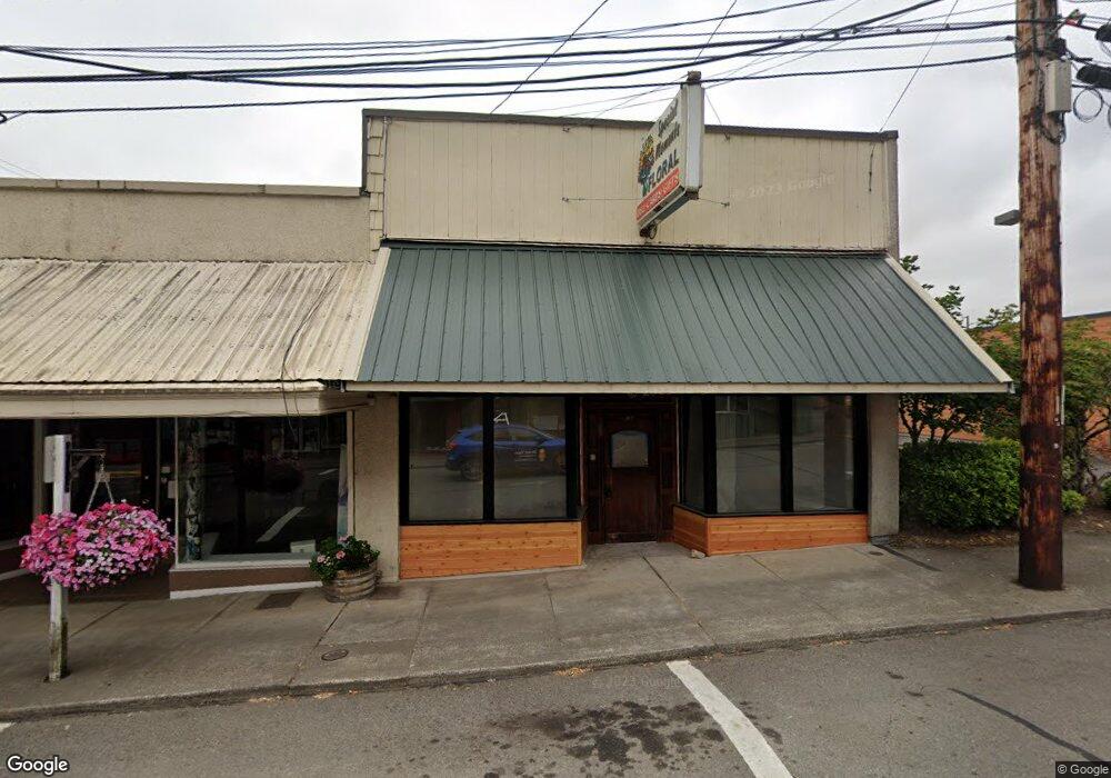
207 NE 1st St Winlock, WA 98596
Estimated Value: $125,050
--
Bed
--
Bath
2,375
Sq Ft
$53/Sq Ft
Est. Value
About This Home
This home is located at 207 NE 1st St, Winlock, WA 98596 and is currently estimated at $125,050, approximately $52 per square foot. 207 NE 1st St is a home located in Lewis County with nearby schools including Winlock Miller Elementary School, Winolequa Learning Academy, and Winlock Middle School.
Ownership History
Date
Name
Owned For
Owner Type
Purchase Details
Closed on
Aug 3, 2022
Sold by
Debra Hart
Bought by
Scottsdale Enterprises Llc
Current Estimated Value
Home Financials for this Owner
Home Financials are based on the most recent Mortgage that was taken out on this home.
Original Mortgage
$94,400
Outstanding Balance
$90,098
Interest Rate
5.3%
Mortgage Type
New Conventional
Estimated Equity
$34,952
Create a Home Valuation Report for This Property
The Home Valuation Report is an in-depth analysis detailing your home's value as well as a comparison with similar homes in the area
Home Values in the Area
Average Home Value in this Area
Purchase History
| Date | Buyer | Sale Price | Title Company |
|---|---|---|---|
| Scottsdale Enterprises Llc | -- | Lewis County Title |
Source: Public Records
Mortgage History
| Date | Status | Borrower | Loan Amount |
|---|---|---|---|
| Open | Scottsdale Enterprises Llc | $94,400 |
Source: Public Records
Tax History Compared to Growth
Tax History
| Year | Tax Paid | Tax Assessment Tax Assessment Total Assessment is a certain percentage of the fair market value that is determined by local assessors to be the total taxable value of land and additions on the property. | Land | Improvement |
|---|---|---|---|---|
| 2025 | $607 | $164,600 | $19,600 | $145,000 |
| 2024 | $607 | $89,300 | $19,600 | $69,700 |
| 2023 | $634 | $89,300 | $19,600 | $69,700 |
| 2022 | $807 | $89,300 | $19,600 | $69,700 |
| 2021 | $892 | $89,300 | $19,600 | $69,700 |
| 2020 | $869 | $89,300 | $19,600 | $69,700 |
| 2019 | $819 | $72,800 | $19,600 | $53,200 |
| 2018 | $877 | $72,800 | $19,600 | $53,200 |
| 2017 | $837 | $72,800 | $19,600 | $53,200 |
| 2016 | $888 | $72,800 | $19,600 | $53,200 |
| 2015 | $831 | $72,800 | $19,600 | $53,200 |
| 2013 | $831 | $76,300 | $19,600 | $56,700 |
Source: Public Records
Map
Nearby Homes
- 0 Cemetary Rd
- 212 SE Cowlitz Rd
- 0 XX NE 2nd St
- 0 NE 1st St
- 418 SW Canyon Loop
- 0 Cemetery Rd Unit NWM2063490
- 811 NE 2nd St
- 915 NW Kerron St
- 0 LOT B-D SE Korpi Way
- 109 Laurel St
- 197 Washington 505
- 701 NW Dexter Ave
- 0 SW Alder St
- 1003 NW Dexter Ave
- 30 X Washington 505
- 911 SW Front St
- 0 SE Rice-Multiple Mdr Ldr Parcels
- 213 Oak St
- 1009 SE 1st St
- 324 Cedar Ct
- 203 NE 1st St
- 203 NE 1st St Unit 205
- 201 NE 1st St
- 0 Front St Unit 1787442
- 0 Front St Unit 1745072
- 204 NE 1st St
- 205 NE 1st St
- 113 SE 1st St
- 108 Walnut
- 108 E Walnut St
- 108 W Walnut St
- 0 NW Kerron St
- 0 NW Kerron St
- 100 SE 1st St
- 100 SE 1st St
- 115 SE 1st St
- 305 NE 1st St
- 300 NE 1st St
- 1 Off Hwy 603
- 0 Old Highway 603