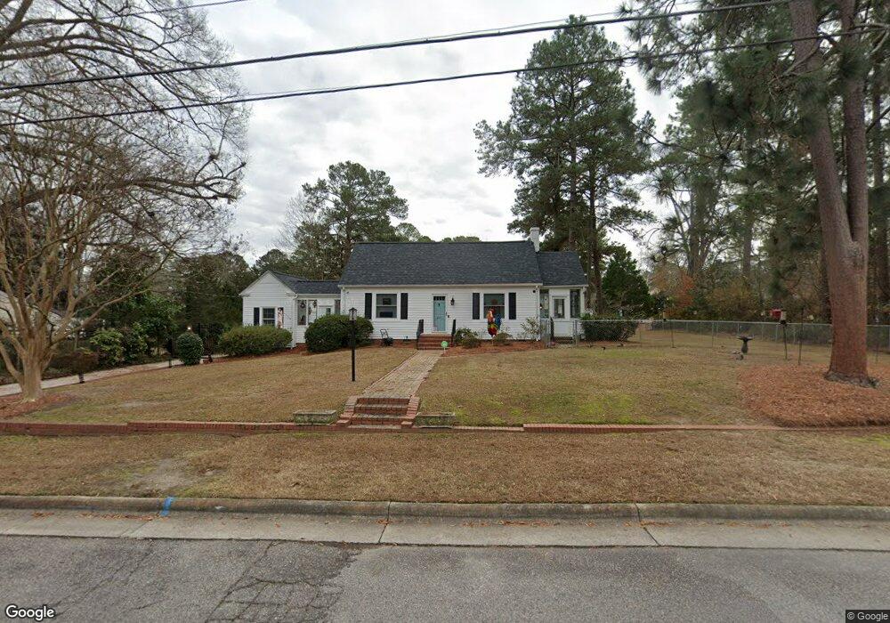
207 North Carolina Ave NW Wilson, NC 27893
Estimated Value: $354,528 - $409,000
3
Beds
3
Baths
2,464
Sq Ft
$156/Sq Ft
Est. Value
About This Home
This home is located at 207 North Carolina Ave NW, Wilson, NC 27893 and is currently estimated at $384,882, approximately $156 per square foot. 207 North Carolina Ave NW is a home located in Wilson County with nearby schools including Wells Elementary School, Toisnot Middle School, and Fike High School.
Ownership History
Date
Name
Owned For
Owner Type
Purchase Details
Closed on
Feb 19, 2020
Sold by
Webb Michael and Webb Christine
Bought by
Prince Cynthia E and Prince Jacqueline
Current Estimated Value
Home Financials for this Owner
Home Financials are based on the most recent Mortgage that was taken out on this home.
Original Mortgage
$218,500
Outstanding Balance
$193,466
Interest Rate
3.6%
Mortgage Type
New Conventional
Estimated Equity
$191,416
Create a Home Valuation Report for This Property
The Home Valuation Report is an in-depth analysis detailing your home's value as well as a comparison with similar homes in the area
Home Values in the Area
Average Home Value in this Area
Purchase History
| Date | Buyer | Sale Price | Title Company |
|---|---|---|---|
| Prince Cynthia E | $230,000 | None Available |
Source: Public Records
Mortgage History
| Date | Status | Borrower | Loan Amount |
|---|---|---|---|
| Open | Prince Cynthia E | $218,500 |
Source: Public Records
Tax History Compared to Growth
Tax History
| Year | Tax Paid | Tax Assessment Tax Assessment Total Assessment is a certain percentage of the fair market value that is determined by local assessors to be the total taxable value of land and additions on the property. | Land | Improvement |
|---|---|---|---|---|
| 2025 | $3,849 | $343,642 | $80,004 | $263,638 |
| 2024 | $3,849 | $343,642 | $80,004 | $263,638 |
| 2023 | $2,715 | $208,043 | $50,002 | $158,041 |
| 2022 | $0 | $181,303 | $50,002 | $131,301 |
| 2021 | $2,366 | $181,303 | $50,002 | $131,301 |
| 2020 | $2,366 | $181,303 | $50,002 | $131,301 |
| 2019 | $1,377 | $105,546 | $25,000 | $80,546 |
| 2018 | $1,377 | $105,546 | $25,000 | $80,546 |
| 2017 | $1,356 | $105,546 | $25,000 | $80,546 |
| 2016 | $1,356 | $105,546 | $25,000 | $80,546 |
| 2014 | $1,556 | $124,960 | $25,000 | $99,960 |
Source: Public Records
Map
Nearby Homes
- 1527 Nash St NW
- 1509 Branch St NW
- 1721 Nash St NW
- 502 Lafayette Dr NW
- 203 Brentwood Dr N
- 206 Brentwood Dr N
- 204 Rowe Ave NW
- 1901 Anderson St NW
- 212 Wilshire Blvd N
- 1903 Anderson St NW
- 1305 Anderson St NW
- 502 Albert Ave NW
- 1406 Gold St N
- 1600 Grove St N
- 1305 Kenan St NW
- 108 Kincaid Ave N
- 403 Kincaid Ave NW
- 308 Pearson St N
- 401 Brentwood Dr N
- 1008 Brookside Dr NW
- 207 N Carolina Ave NW
- 1604 Branch St NW
- 1609 Anderson St NW
- 1605 Anderson St NW
- 1611 Branch St NW
- 203 Mount Vernon Dr NW
- 1613 Branch St NW
- 1600 Branch St NW
- 1603 Anderson St NW
- 1603 Branch St NW
- 303 NW Mt Vernon Dr
- 303 North Carolina Ave NW
- 1601 Anderson St NW
- 1701 Anderson St NW
- 1608 Anderson St NW
- 1610 Anderson St NW
- 1601 Branch St NW
- 1606 Anderson St NW
- 1604 Anderson St NW
- 1700 Mayflower Dr NW