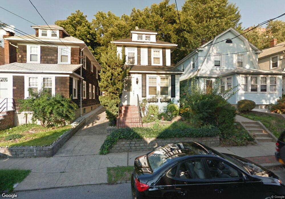
207 Oakwood Ave Staten Island, NY 10301
Silver Lake NeighborhoodEstimated Value: $628,000 - $793,000
3
Beds
1
Bath
1,088
Sq Ft
$652/Sq Ft
Est. Value
About This Home
This home is located at 207 Oakwood Ave, Staten Island, NY 10301 and is currently estimated at $709,736, approximately $652 per square foot. 207 Oakwood Ave is a home located in Richmond County with nearby schools including P.S. 45 John Tyler, Is 61 William A Morris, and Curtis High School.
Ownership History
Date
Name
Owned For
Owner Type
Purchase Details
Closed on
Sep 9, 2002
Sold by
Harrington John and Harrington Jennifer
Bought by
Carp Bernard J and Wentworth Lillian M
Current Estimated Value
Home Financials for this Owner
Home Financials are based on the most recent Mortgage that was taken out on this home.
Original Mortgage
$283,000
Interest Rate
6.03%
Mortgage Type
Purchase Money Mortgage
Purchase Details
Closed on
May 2, 2001
Sold by
Miller Kathleen M
Bought by
Harrington John and Harrington Jennifer
Home Financials for this Owner
Home Financials are based on the most recent Mortgage that was taken out on this home.
Original Mortgage
$196,200
Interest Rate
7.18%
Create a Home Valuation Report for This Property
The Home Valuation Report is an in-depth analysis detailing your home's value as well as a comparison with similar homes in the area
Home Values in the Area
Average Home Value in this Area
Purchase History
| Date | Buyer | Sale Price | Title Company |
|---|---|---|---|
| Carp Bernard J | $283,000 | Old Republic Natl Title Ins | |
| Harrington John | $218,000 | -- |
Source: Public Records
Mortgage History
| Date | Status | Borrower | Loan Amount |
|---|---|---|---|
| Previous Owner | Carp Bernard J | $283,000 | |
| Previous Owner | Harrington John | $196,200 |
Source: Public Records
Tax History Compared to Growth
Tax History
| Year | Tax Paid | Tax Assessment Tax Assessment Total Assessment is a certain percentage of the fair market value that is determined by local assessors to be the total taxable value of land and additions on the property. | Land | Improvement |
|---|---|---|---|---|
| 2025 | $5,600 | $40,620 | $8,665 | $31,955 |
| 2024 | $4,649 | $39,420 | $8,423 | $30,997 |
| 2023 | $4,439 | $27,996 | $7,278 | $20,718 |
| 2022 | $4,023 | $36,780 | $11,340 | $25,440 |
| 2021 | $5,256 | $36,240 | $11,340 | $24,900 |
| 2020 | $5,179 | $34,380 | $11,340 | $23,040 |
| 2019 | $4,811 | $33,240 | $11,340 | $21,900 |
| 2018 | $4,458 | $23,330 | $10,160 | $13,170 |
| 2017 | $4,187 | $22,011 | $9,765 | $12,246 |
| 2016 | $4,090 | $22,011 | $10,426 | $11,585 |
| 2015 | $3,597 | $21,553 | $12,503 | $9,050 |
| 2014 | $3,597 | $20,334 | $10,783 | $9,551 |
Source: Public Records
Map
Nearby Homes
- 72 Gregg Place
- 215 Hart Blvd Unit 3L
- 58-62 University Place
- 112 Delafield Ave
- 372 Sharon Ave
- 776 Brighton Ave
- 54 City Blvd
- 525 Castleton Ave Unit 1C
- 171 Silver Lake Rd
- 26 Valencia Ave
- 414 Castleton Ave
- 585 Castleton Ave Unit 1c
- 435 Castleton Ave
- 244 Delafield Ave
- 20 Baker Place
- 328 Stanley Ave
- 354 Hoyt Ave
- 34 Harvest Ave
- 310 Brighton Ave
- 100 Lawrence Ave
- 205 Oakwood Ave
- 203 Oakwood Ave
- 211 Oakwood Ave
- 352 Forest Ave
- 213 Oakwood Ave
- 354 Forest Ave
- 358 Forest Ave
- 184 Hart Blvd
- 350 Forest Ave
- 190 Hart Blvd
- 192 Hart Blvd
- 217 Oakwood Ave
- 180 Hart Blvd
- 364 Forest Ave
- 206 Oakwood Ave
- 204 Oakwood Ave
- 208 Oakwood Ave
- 210 Oakwood Ave
- 219 Oakwood Ave
- 176 Hart Blvd