207 Patrick Rd Tewksbury, MA 01876
Estimated Value: $491,665 - $512,000
2
Beds
2
Baths
1,240
Sq Ft
$406/Sq Ft
Est. Value
About This Home
This home is located at 207 Patrick Rd, Tewksbury, MA 01876 and is currently estimated at $503,416, approximately $405 per square foot. 207 Patrick Rd is a home located in Middlesex County with nearby schools including John W. Wynn Middle School, John F. Ryan Elementary School, and Tewksbury Memorial High School.
Ownership History
Date
Name
Owned For
Owner Type
Purchase Details
Closed on
Nov 6, 2009
Sold by
Dennehey Charlene A
Bought by
Wong Yi Kwan and Tang Carol
Current Estimated Value
Home Financials for this Owner
Home Financials are based on the most recent Mortgage that was taken out on this home.
Original Mortgage
$176,000
Outstanding Balance
$115,273
Interest Rate
5.06%
Mortgage Type
Purchase Money Mortgage
Estimated Equity
$388,143
Purchase Details
Closed on
Jun 15, 1988
Sold by
Crupi Carl A
Bought by
Denneley Charlene A
Home Financials for this Owner
Home Financials are based on the most recent Mortgage that was taken out on this home.
Original Mortgage
$74,000
Interest Rate
10.24%
Mortgage Type
Purchase Money Mortgage
Create a Home Valuation Report for This Property
The Home Valuation Report is an in-depth analysis detailing your home's value as well as a comparison with similar homes in the area
Home Values in the Area
Average Home Value in this Area
Purchase History
| Date | Buyer | Sale Price | Title Company |
|---|---|---|---|
| Wong Yi Kwan | $220,000 | -- | |
| Denneley Charlene A | $134,000 | -- |
Source: Public Records
Mortgage History
| Date | Status | Borrower | Loan Amount |
|---|---|---|---|
| Open | Wong Yi Kwan | $176,000 | |
| Previous Owner | Denneley Charlene A | $120,000 | |
| Previous Owner | Denneley Charlene A | $112,500 | |
| Previous Owner | Denneley Charlene A | $26,200 | |
| Previous Owner | Denneley Charlene A | $74,000 |
Source: Public Records
Tax History Compared to Growth
Tax History
| Year | Tax Paid | Tax Assessment Tax Assessment Total Assessment is a certain percentage of the fair market value that is determined by local assessors to be the total taxable value of land and additions on the property. | Land | Improvement |
|---|---|---|---|---|
| 2025 | $5,670 | $428,900 | $0 | $428,900 |
| 2024 | $5,393 | $402,800 | $0 | $402,800 |
| 2023 | $5,303 | $376,100 | $0 | $376,100 |
| 2022 | $4,742 | $312,000 | $0 | $312,000 |
| 2021 | $4,645 | $295,500 | $0 | $295,500 |
| 2020 | $4,614 | $288,900 | $0 | $288,900 |
| 2019 | $4,071 | $257,000 | $0 | $257,000 |
| 2018 | $3,912 | $242,500 | $0 | $242,500 |
| 2017 | $3,673 | $225,200 | $0 | $225,200 |
| 2016 | $3,486 | $213,200 | $0 | $213,200 |
| 2015 | $3,127 | $191,000 | $0 | $191,000 |
| 2014 | $2,979 | $184,900 | $0 | $184,900 |
Source: Public Records
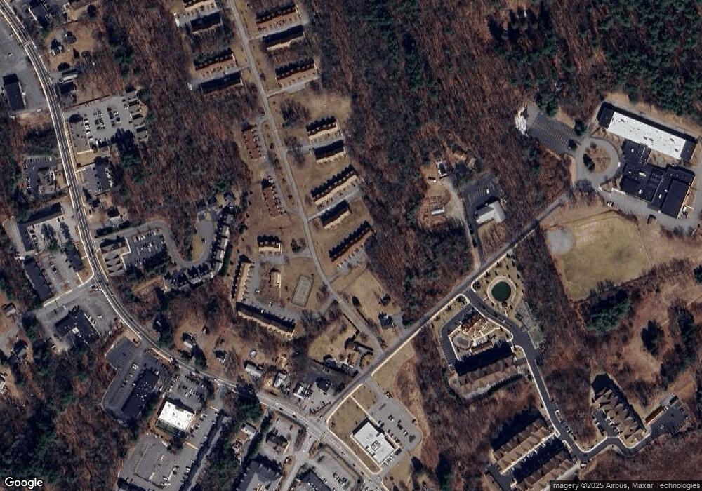
Map
Nearby Homes
- 142 Patrick Rd
- 111 Patrick Rd Unit 111
- 1418 Main St Unit 201
- 1455 Main St Unit 4
- 1455 Main St Unit 10
- 1455 Main St Unit 8
- 61 Patrick Rd
- 1334 Main St
- 11 Orchard St
- 6 Stonebury Way Unit 6
- 1325 Main
- 14 Hinckley Rd
- 8 Boisvert Rd
- 107 Eagle Dr Unit 107
- 93 Fairway Dr
- 127 Caddy Ct
- 16 Eagle Dr
- 70 Ronald Dr
- 13 Berkeley
- 100 Pleasant St Unit 14
- 210 Patrick Rd
- 209 Patrick Rd
- 208 Patrick Rd
- 206 Patrick Rd
- 205 Patrick Rd
- 204 Patrick Rd
- 203 Patrick Rd
- 202 Patrick Rd
- 201 Patrick Rd
- 202 Patrick Rd Unit 202
- 210 Patrick Rd Unit 210
- 204 Patrick Rd Unit 204
- 203 Patrick Rd Unit 203
- 209 Patrick Rd Unit 209
- 208 Patrick Rd Unit 208
- 176 Patrick Rd
- 175 Patrick Rd
- 174 Patrick Rd
- 173 Patrick Rd
- 172 Patrick Rd