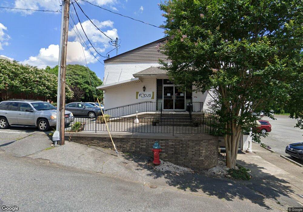
207 Queen St Morganton, NC 28655
Estimated Value: $497,176 - $525,000
Studio
3
Baths
3,200
Sq Ft
$160/Sq Ft
Est. Value
About This Home
This home is located at 207 Queen St, Morganton, NC 28655 and is currently estimated at $511,088, approximately $159 per square foot. 207 Queen St is a home located in Burke County with nearby schools including Forest Hill Elementary School, Walter R. Johnson Middle School, and Robert L. Patton High School.
Ownership History
Date
Name
Owned For
Owner Type
Purchase Details
Closed on
Dec 21, 2018
Sold by
Guido Holdings Llc
Bought by
Wgo Properties 2 Llc
Current Estimated Value
Purchase Details
Closed on
Nov 14, 2011
Sold by
Ella Properties
Bought by
Guido Holding Llc
Create a Home Valuation Report for This Property
The Home Valuation Report is an in-depth analysis detailing your home's value as well as a comparison with similar homes in the area
Home Values in the Area
Average Home Value in this Area
Purchase History
| Date | Buyer | Sale Price | Title Company |
|---|---|---|---|
| Wgo Properties 2 Llc | -- | None Available | |
| Guido Holding Llc | $185,000 | None Available |
Source: Public Records
Tax History Compared to Growth
Tax History
| Year | Tax Paid | Tax Assessment Tax Assessment Total Assessment is a certain percentage of the fair market value that is determined by local assessors to be the total taxable value of land and additions on the property. | Land | Improvement |
|---|---|---|---|---|
| 2025 | $2,134 | $384,586 | $43,833 | $340,753 |
| 2024 | $2,154 | $384,586 | $43,833 | $340,753 |
| 2023 | $2,154 | $384,586 | $43,833 | $340,753 |
| 2022 | $1,867 | $268,674 | $34,605 | $234,069 |
| 2021 | $1,867 | $268,674 | $34,605 | $234,069 |
| 2019 | $1,867 | $268,674 | $34,605 | $234,069 |
| 2018 | $1,779 | $255,901 | $34,605 | $221,296 |
| 2017 | $1,779 | $255,901 | $34,605 | $221,296 |
| 2016 | $1,740 | $255,901 | $34,605 | $221,296 |
| 2015 | $1,740 | $255,901 | $34,605 | $221,296 |
| 2014 | $1,740 | $255,901 | $34,605 | $221,296 |
| 2013 | $1,740 | $255,901 | $34,605 | $221,296 |
Source: Public Records
Map
Nearby Homes
- 118 W Union St Unit A
- 308 N Green St Unit 6
- 214 Howard St
- 203 Beacon Ave
- 710 Bouchelle St
- 302 White St
- 218 Davis Dr
- 212 Riverside Dr
- VL E Concord St
- 203 Morehead St
- 231 Davis Dr
- 103 Ramsey St
- 209 Park St
- 115 Riverside Ct
- 106 Lane St Unit 6
- 0 Coal Shute Rd Unit CAR3935533
- Lot 4 Lane St Unit 4
- Lot 5 Lane St Unit 5
- Lot 3 Lane St Unit 3
- Lot 2 Lane St Unit 2
- 301 Collett St
- 108 Terrace Place
- 106 Terrace Place
- 110 Terrace Place
- 124 W Union St
- 225 W Union St
- 118C W Union St
- 118 W Union St Unit B
- 118C W Union St
- 118 W Union St Unit B
- 104 Terrace Place
- 112 Terrace Place
- 300 W Union St
- 118 W Union St
- 118 W Union St
- 107 Terrace Place
- 100 Terrace Place
- 104 Queen St
- 103 Terrace Place
- 102 Queen St