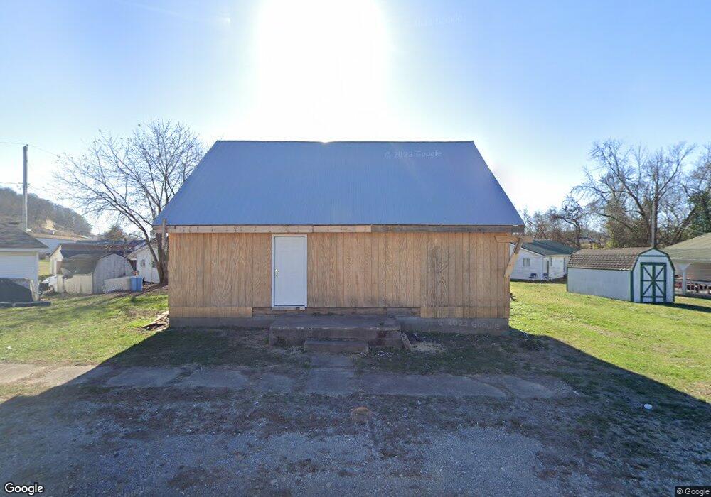
207 Ridgeway St Coal Grove, OH 45638
Estimated Value: $66,057 - $86,000
2
Beds
1
Bath
728
Sq Ft
$103/Sq Ft
Est. Value
About This Home
This home is located at 207 Ridgeway St, Coal Grove, OH 45638 and is currently estimated at $74,764, approximately $102 per square foot. 207 Ridgeway St is a home located in Lawrence County with nearby schools including Dawson-Bryant Elementary School, Dawson-Bryant Middle School, and Dawson-Bryant High School.
Ownership History
Date
Name
Owned For
Owner Type
Purchase Details
Closed on
Jun 25, 2020
Sold by
Wise Randall E and Wise Diana L
Bought by
Wise Randall E and Wise Diana L
Current Estimated Value
Purchase Details
Closed on
Aug 29, 2018
Sold by
Bryant William R Life Est Brian Scott & Rem
Bought by
Bryant Brian Scott
Purchase Details
Closed on
Sep 7, 2004
Sold by
Bryant William R
Bought by
Bryant William R. Life E
Purchase Details
Closed on
Jul 17, 1996
Sold by
Bryant William R and Bryant Gene
Bought by
Bryant William R
Purchase Details
Closed on
Sep 2, 1986
Sold by
Kleinman Norman and Kleinman Phylli
Bought by
Bryant William R and Bryant Gene
Create a Home Valuation Report for This Property
The Home Valuation Report is an in-depth analysis detailing your home's value as well as a comparison with similar homes in the area
Home Values in the Area
Average Home Value in this Area
Purchase History
| Date | Buyer | Sale Price | Title Company |
|---|---|---|---|
| Wise Randall E | $12,500 | None Available | |
| Bryant Brian Scott | -- | -- | |
| Bryant William R. Life E | -- | -- | |
| Bryant William R | -- | -- | |
| Bryant William R | $17,500 | -- |
Source: Public Records
Tax History Compared to Growth
Tax History
| Year | Tax Paid | Tax Assessment Tax Assessment Total Assessment is a certain percentage of the fair market value that is determined by local assessors to be the total taxable value of land and additions on the property. | Land | Improvement |
|---|---|---|---|---|
| 2024 | -- | $10,290 | $1,990 | $8,300 |
| 2023 | $493 | $10,290 | $1,990 | $8,300 |
| 2022 | $491 | $10,290 | $1,990 | $8,300 |
| 2021 | $299 | $9,810 | $1,850 | $7,960 |
| 2020 | $485 | $9,810 | $1,850 | $7,960 |
| 2019 | $484 | $9,810 | $1,850 | $7,960 |
| 2018 | $487 | $9,810 | $1,850 | $7,960 |
| 2017 | $486 | $9,810 | $1,850 | $7,960 |
| 2016 | $650 | $16,400 | $1,850 | $14,550 |
| 2015 | $701 | $16,850 | $1,850 | $15,000 |
| 2014 | $661 | $16,850 | $1,850 | $15,000 |
| 2013 | $660 | $16,850 | $1,850 | $15,000 |
Source: Public Records
Map
Nearby Homes
- 805 1/2 High St
- 519 Lane St
- 514 Lane St
- 303 Pike St
- 125 Center St
- 119 Remy St
- 103 Carrico Dr
- 309 High St
- 309 High St Unit LAO-5
- 0 Central & Mlk
- 1003 Marion Pike
- 508 16th St
- 1824 Carter Ave
- 0 18th Street & Central Ave
- 0 Carter Ave
- 2088 State Route 243
- 156 Township Road 181
- 1100 Price St
- 1409 Hoods Creek Pike
- 0 Amanda Furnace Dr