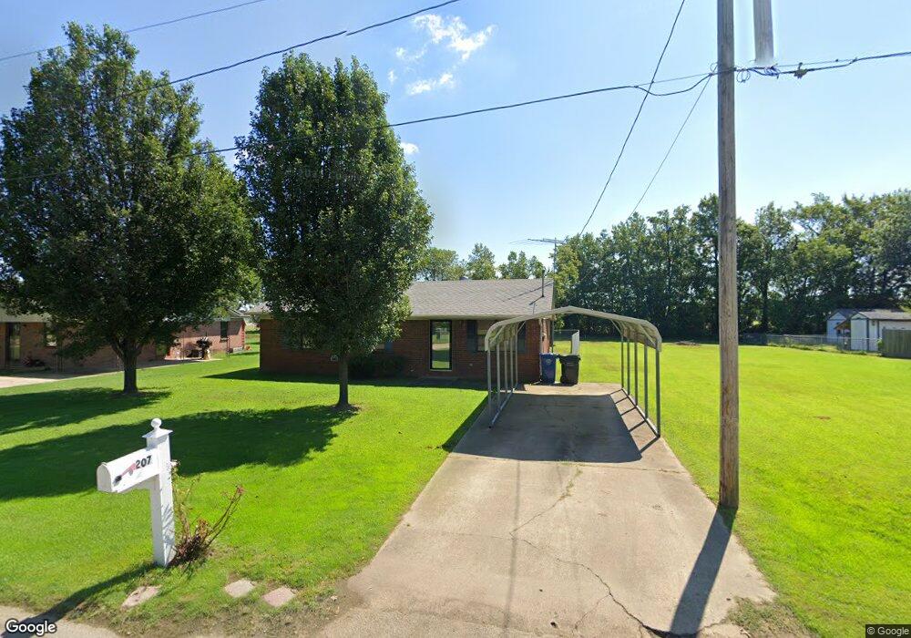
207 Royale Dr Jonesboro, AR 72401
Estimated Value: $126,000 - $143,000
3
Beds
2
Baths
1,048
Sq Ft
$127/Sq Ft
Est. Value
About This Home
This home is located at 207 Royale Dr, Jonesboro, AR 72401 and is currently estimated at $133,488, approximately $127 per square foot. 207 Royale Dr is a home located in Craighead County with nearby schools including Westside Elementary School, Westside Middle School, and Westside High School.
Ownership History
Date
Name
Owned For
Owner Type
Purchase Details
Closed on
Jul 28, 2016
Sold by
Duncan Louvell and Duncan Lehman L
Bought by
Hager Jesse D
Current Estimated Value
Purchase Details
Closed on
Jan 31, 2013
Sold by
Secretary Of Hud
Bought by
Hager Jesse D
Purchase Details
Closed on
Jun 11, 2012
Sold by
Wells Fargo Bank Na
Bought by
The Secretary Of Hud
Purchase Details
Closed on
May 24, 2012
Sold by
Rudeen John Edwin
Bought by
Wells Fargo Bank Na
Purchase Details
Closed on
Sep 19, 2003
Bought by
Rudeen
Purchase Details
Closed on
Jul 1, 1996
Bought by
Perry
Create a Home Valuation Report for This Property
The Home Valuation Report is an in-depth analysis detailing your home's value as well as a comparison with similar homes in the area
Home Values in the Area
Average Home Value in this Area
Purchase History
| Date | Buyer | Sale Price | Title Company |
|---|---|---|---|
| Hager Jesse D | $2,750 | -- | |
| Hager Jesse D | -- | Professional Land Title Comp | |
| The Secretary Of Hud | -- | None Available | |
| Wells Fargo Bank Na | $75,967 | None Available | |
| Rudeen | $68,000 | -- | |
| Perry | $41,000 | -- |
Source: Public Records
Tax History Compared to Growth
Tax History
| Year | Tax Paid | Tax Assessment Tax Assessment Total Assessment is a certain percentage of the fair market value that is determined by local assessors to be the total taxable value of land and additions on the property. | Land | Improvement |
|---|---|---|---|---|
| 2025 | $550 | $19,077 | $2,500 | $16,577 |
| 2024 | $550 | $19,077 | $2,500 | $16,577 |
| 2023 | $550 | $19,077 | $2,500 | $16,577 |
| 2022 | $163 | $19,077 | $2,500 | $16,577 |
| 2021 | $161 | $13,160 | $2,500 | $10,660 |
| 2020 | $161 | $13,160 | $2,500 | $10,660 |
| 2019 | $161 | $13,160 | $2,500 | $10,660 |
| 2018 | $186 | $13,160 | $2,500 | $10,660 |
| 2017 | $186 | $13,160 | $2,500 | $10,660 |
| 2016 | $186 | $11,540 | $2,000 | $9,540 |
| 2015 | $164 | $11,540 | $2,000 | $9,540 |
| 2014 | $514 | $11,540 | $2,000 | $9,540 |
Source: Public Records
Map
Nearby Homes
- 219 Maurita St
- 20 Acres Parker Rd and I-555
- 727 Cr 311
- 2713 W Matthews Ave
- 67.78 acres Cr 114
- 279 County Road 342
- 1 County Road 342
- 2617 W Matthews Ave
- 919 Congress Cir
- 913 Congress Cir
- 945 County Road 111
- 14 County Road 346
- 2250 W Washington Ave
- 1906 W Matthews Ave
- 23 Winchester Dr
- 1 County Road 348
- 1284 County Road 114
- 1 Strawfloor Dr
- 18.62 acres Strawfloor Dr
- 0 Strawfloor Dr