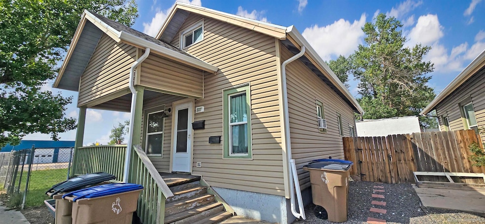
207 Russell St Laramie, WY 82070
Estimated payment $1,816/month
Highlights
- Covered Patio or Porch
- Landscaped with Trees
- Baseboard Heating
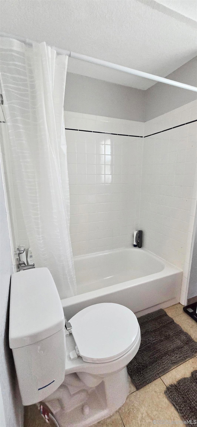
- Bathtub with Shower
About This Home
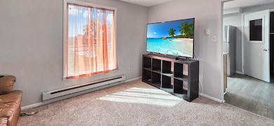
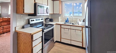
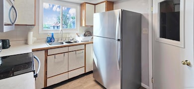
Welcome to 207 Russell Street, a classic Laramie home with character, charm, and options built right in. Just a few blocks from downtown, this property offers four bedrooms and two full baths across a flexible layout that can live comfortably as a single-family home or function as two separate units. With a finished basement, private entrances, and adaptable living spaces, it’s easy to imagine everything from multigenerational living to income potential through long-term rental or short-term Airbnb hosting. The home’s 1920s craftsmanship sets the tone with timeless curb appeal, while updates over the years have kept it practical and inviting. Inside, the flow is warm and efficient, with space for everyday living upstairs and a lower level ready for guests, a home office, or creative retreat. The manageable lot size means less yard work and more time to enjoy the perks of city living. Life here is about connection and convenience. Walk or bike to coffee shops, restaurants, music venues, and the University of Wyoming, or unwind at nearby parks and trails. Families will appreciate the proximity to schools, while investors will love the strong rental demand in this location. Whether you’re searching for a home with room to grow, a property that balances lifestyle and income, or simply a chance to own in one of Laramie’s most accessible neighborhoods, 207 Russell Street offers the rare opportunity to have it all. Original to its core, this is a place where story, style, and possibility meet.
Home Details
Home Type
- Single Family
Est. Annual Taxes
- $1,567
Year Built
- Built in 1924
Lot Details
- 1,742 Sq Ft Lot
- Landscaped with Trees
Home Design
- Shingle Roof
- Siding
Interior Spaces
- 2-Story Property
- Fire and Smoke Detector
- Built-In Electric Range
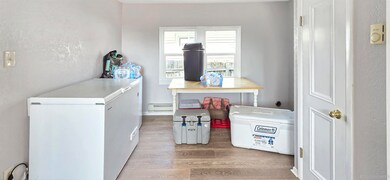
- Finished Basement
Bedrooms and Bathrooms
- 4 Bedrooms
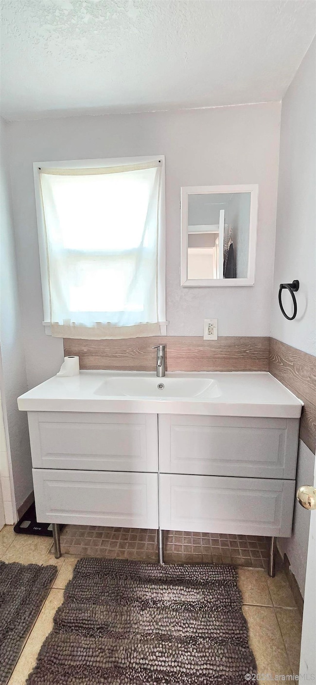
- 2 Bathrooms
- Bathtub with Shower
Outdoor Features
- Covered Patio or Porch
Utilities
- Baseboard Heating
- Cable TV Available
Map
Home Values in the Area
Average Home Value in this Area
Tax History
| Year | Tax Paid | Tax Assessment Tax Assessment Total Assessment is a certain percentage of the fair market value that is determined by local assessors to be the total taxable value of land and additions on the property. | Land | Improvement |
|---|---|---|---|---|
| 2021 | $985 | $13,495 | $1,107 | $12,388 |
| 2020 | $936 | $12,826 | $810 | $12,016 |
| 2019 | $896 | $12,276 | $810 | $11,466 |
| 2018 | $903 | $12,375 | $810 | $11,565 |
| 2017 | $804 | $11,015 | $810 | $10,205 |
| 2016 | $763 | $10,448 | $810 | $9,638 |
| 2015 | $793 | $10,860 | $810 | $10,050 |
| 2014 | $934 | $12,790 | $0 | $0 |
Property History
| Date | Event | Price | List to Sale | Price per Sq Ft |
|---|---|---|---|---|
| 09/08/2025 09/08/25 | For Sale | $320,000 | -- | $222 / Sq Ft |
Purchase History
| Date | Type | Sale Price | Title Company |
|---|---|---|---|
| Warranty Deed | -- | First American Title | |
| Warranty Deed | -- | None Available | |
| Warranty Deed | -- | None Available | |
| Interfamily Deed Transfer | -- | None Available |
Mortgage History
| Date | Status | Loan Amount | Loan Type |
|---|---|---|---|
| Open | $157,500 | Purchase Money Mortgage | |
| Previous Owner | $90,000 | New Conventional |
Source: Laramie Board of REALTORS® MLS
MLS Number: 250638
APN: 05-1573-04-2-35-012.00
