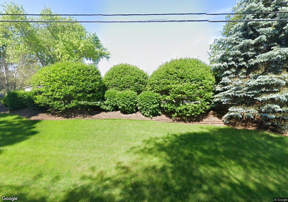
207 S Draper Rd McHenry, IL 60050
Estimated Value: $446,000 - $469,000
3
Beds
1
Bath
1,500
Sq Ft
$306/Sq Ft
Est. Value
About This Home
This home is located at 207 S Draper Rd, McHenry, IL 60050 and is currently estimated at $458,955, approximately $305 per square foot. 207 S Draper Rd is a home located in McHenry County with nearby schools including Valley View Elementary School, Parkland School, and McHenry Community High School - Upper Campus.
Ownership History
Date
Name
Owned For
Owner Type
Purchase Details
Closed on
Mar 22, 2001
Sold by
Nelson Steven J
Bought by
Weyde William S and Weyde Diane M
Current Estimated Value
Home Financials for this Owner
Home Financials are based on the most recent Mortgage that was taken out on this home.
Original Mortgage
$179,000
Outstanding Balance
$66,300
Interest Rate
7.25%
Estimated Equity
$392,655
Purchase Details
Closed on
Apr 22, 1999
Sold by
Nelson Steven J
Bought by
Nelson Steven J
Home Financials for this Owner
Home Financials are based on the most recent Mortgage that was taken out on this home.
Original Mortgage
$83,000
Interest Rate
7.93%
Purchase Details
Closed on
Mar 29, 1999
Sold by
Nelson Ardella M
Bought by
Nelson Ardella M and Ardella M Nelson Declaration Of Trust
Home Financials for this Owner
Home Financials are based on the most recent Mortgage that was taken out on this home.
Original Mortgage
$83,000
Interest Rate
7.93%
Create a Home Valuation Report for This Property
The Home Valuation Report is an in-depth analysis detailing your home's value as well as a comparison with similar homes in the area
Home Values in the Area
Average Home Value in this Area
Purchase History
| Date | Buyer | Sale Price | Title Company |
|---|---|---|---|
| Weyde William S | $179,000 | Chicago Title | |
| Nelson Steven J | -- | -- | |
| Nelson Ardella M | -- | -- |
Source: Public Records
Mortgage History
| Date | Status | Borrower | Loan Amount |
|---|---|---|---|
| Open | Weyde William S | $179,000 | |
| Previous Owner | Nelson Steven J | $83,000 |
Source: Public Records
Tax History Compared to Growth
Tax History
| Year | Tax Paid | Tax Assessment Tax Assessment Total Assessment is a certain percentage of the fair market value that is determined by local assessors to be the total taxable value of land and additions on the property. | Land | Improvement |
|---|---|---|---|---|
| 2024 | $10,891 | $144,898 | $29,870 | $115,028 |
| 2023 | $8,773 | $129,942 | $26,787 | $103,155 |
| 2022 | $8,357 | $118,832 | $24,497 | $94,335 |
| 2021 | $8,014 | $111,412 | $22,967 | $88,445 |
| 2020 | $7,947 | $108,073 | $22,279 | $85,794 |
| 2019 | $11,437 | $124,546 | $36,637 | $87,909 |
| 2018 | $11,924 | $116,989 | $34,414 | $82,575 |
| 2017 | $11,728 | $112,080 | $32,970 | $79,110 |
| 2016 | $11,157 | $103,416 | $31,457 | $71,959 |
| 2013 | -- | $98,421 | $29,937 | $68,484 |
Source: Public Records
Map
Nearby Homes
- 7200 Millburne Ct
- 7208 Millburne Ct
- 7207 Millburne Ct
- 6911 Galway Dr
- 6722 Killala Ln
- 7111 Forest Oak Dr
- 7212 Forest Oak Dr
- 7110 Forest Oak Dr
- 7106 Forest Oak Dr
- 7407 Forest Oak Dr
- 7220 Forest Oak Dr
- 7319 Forest Oak Dr
- 7304 Forest Oak Dr
- 7316 Forest Oak Dr
- 7402 Forest Oak Dr
- 7408 Forest Oak Dr
- 6409 Donegal Ln
- 6411 Longford Dr
- 6407 Longford Dr
- 7015 Burning Tree Cir
- 115 Farmstead Ct
- 7101 Wexford Ct
- 219 S Draper Rd
- 219 S Draper Rd
- 117 S Draper Rd
- 111 Farmstead Ct
- 7204 Millburne Ct
- 7105 Wexford Ct
- 116 Farmstead Ct
- 107 Farmstead Ct
- 7102 Wexford Ct
- 7109 Wexford Ct
- 7110 Wexford Ct
- 7106 Wexford Ct
- 103 Farmstead Ct
- 7212 Millburne Ct
- 119 Farmstead Ct
- 8 Farmstead Ct
- 321 S Draper Rd
- 7216 Millburne Ct
