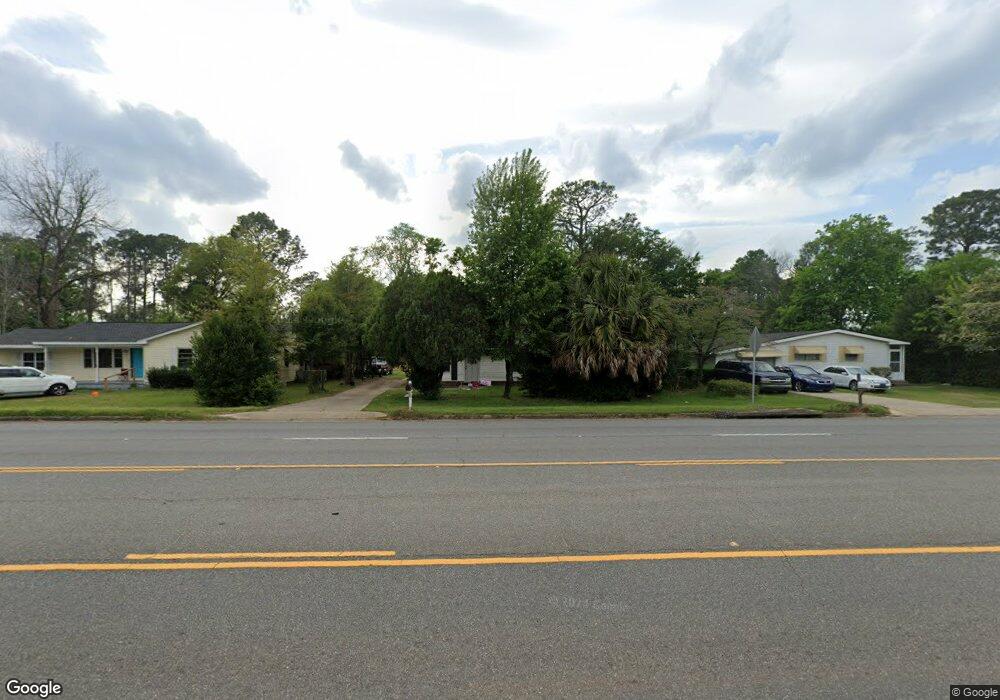
207 S Mock Rd Albany, GA 31705
Estimated Value: $55,209 - $95,000
3
Beds
1
Bath
1,131
Sq Ft
$66/Sq Ft
Est. Value
About This Home
This home is located at 207 S Mock Rd, Albany, GA 31705 and is currently estimated at $74,802, approximately $66 per square foot. 207 S Mock Rd is a home located in Dougherty County with nearby schools including Turner Elementary School, Albany Middle School, and Radium Springs Middle School.
Ownership History
Date
Name
Owned For
Owner Type
Purchase Details
Closed on
Feb 24, 2023
Sold by
Hazel James Andrew Estate
Bought by
Jamillion Llc
Current Estimated Value
Home Financials for this Owner
Home Financials are based on the most recent Mortgage that was taken out on this home.
Original Mortgage
$22,500
Outstanding Balance
$4,042
Interest Rate
6.13%
Mortgage Type
Mortgage Modification
Estimated Equity
$70,760
Purchase Details
Closed on
Apr 6, 1998
Sold by
Hazel Est Of Delores S By Exec Of Estate
Bought by
Hazel James A
Purchase Details
Closed on
Mar 16, 1989
Sold by
Moye Bonnie C
Bought by
Hazel Delores S
Create a Home Valuation Report for This Property
The Home Valuation Report is an in-depth analysis detailing your home's value as well as a comparison with similar homes in the area
Home Values in the Area
Average Home Value in this Area
Purchase History
| Date | Buyer | Sale Price | Title Company |
|---|---|---|---|
| Jamillion Llc | $27,000 | -- | |
| Hazel James A | -- | -- | |
| Hazel Delores S | $33,500 | -- |
Source: Public Records
Mortgage History
| Date | Status | Borrower | Loan Amount |
|---|---|---|---|
| Open | Jamillion Llc | $22,500 |
Source: Public Records
Tax History Compared to Growth
Tax History
| Year | Tax Paid | Tax Assessment Tax Assessment Total Assessment is a certain percentage of the fair market value that is determined by local assessors to be the total taxable value of land and additions on the property. | Land | Improvement |
|---|---|---|---|---|
| 2024 | $515 | $16,960 | $2,400 | $14,560 |
| 2023 | $790 | $16,960 | $2,400 | $14,560 |
| 2022 | $793 | $16,960 | $2,400 | $14,560 |
| 2021 | $735 | $16,960 | $2,400 | $14,560 |
| 2020 | $737 | $16,960 | $2,400 | $14,560 |
| 2019 | $740 | $16,960 | $2,400 | $14,560 |
| 2018 | $743 | $16,960 | $2,400 | $14,560 |
| 2017 | $692 | $16,960 | $2,400 | $14,560 |
| 2016 | $692 | $16,960 | $2,400 | $14,560 |
| 2015 | $694 | $16,960 | $2,400 | $14,560 |
| 2014 | $686 | $16,960 | $2,400 | $14,560 |
Source: Public Records
Map
Nearby Homes
- 2215 E Broad Ave
- 2006 Keystone Ave
- 2004 Keystone Ave
- 307 Acorn St
- 306 Elsom St
- 2523 Cherokee Dr
- 309 Acorn St
- 234 Cone St
- 2529 Cherokee Dr
- 410 Johnson Rd
- 513 Johnson Rd
- 308 Forrestal Ln
- 119 N West Rd
- 2725 Yorktown Ave
- 2731 Yorktown Ave
- 1532 E Broad Ave
- 148 Force Dr
- 2921 Madeline Rd
- 2802 Banks Ave
- 608 Cason St