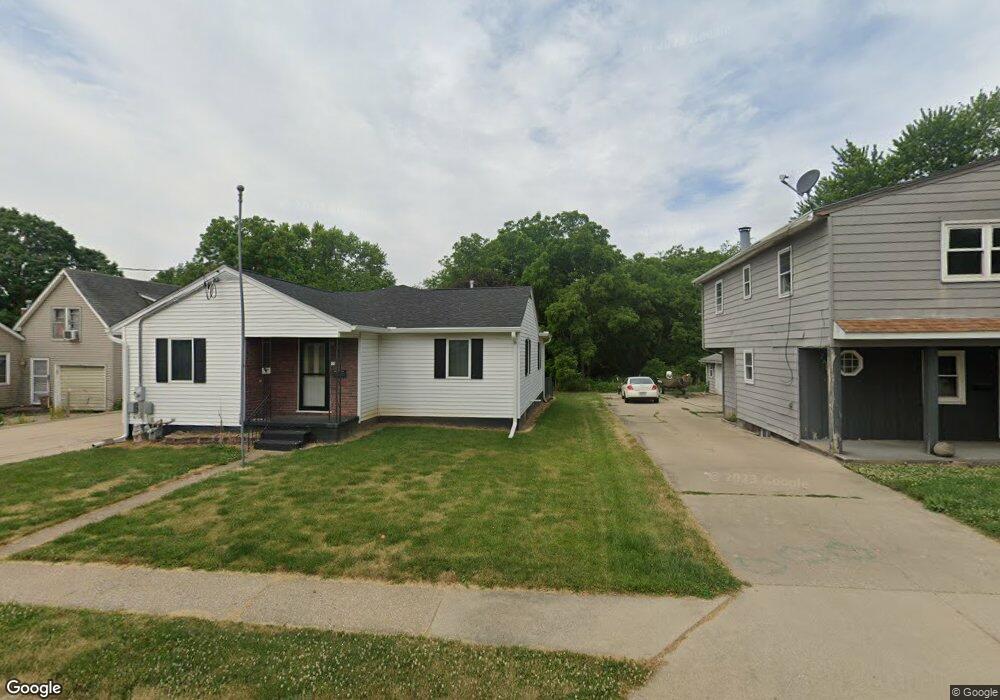
207 S Stewart St Geneseo, IL 61254
Estimated Value: $128,000 - $143,000
2
Beds
--
Bath
1,284
Sq Ft
$108/Sq Ft
Est. Value
About This Home
This home is located at 207 S Stewart St, Geneseo, IL 61254 and is currently estimated at $138,743, approximately $108 per square foot. 207 S Stewart St is a home located in Henry County with nearby schools including Geneseo High School and St. Malachy School.
Ownership History
Date
Name
Owned For
Owner Type
Purchase Details
Closed on
May 20, 2020
Sold by
Minnaert Peter P
Bought by
Blakley Amy
Current Estimated Value
Home Financials for this Owner
Home Financials are based on the most recent Mortgage that was taken out on this home.
Original Mortgage
$66,000
Outstanding Balance
$58,375
Interest Rate
3.2%
Mortgage Type
New Conventional
Estimated Equity
$80,368
Purchase Details
Closed on
Oct 6, 2017
Sold by
Wade Randee E and Wade Clearance R
Bought by
Wade Randee E and Minnaert Peter
Create a Home Valuation Report for This Property
The Home Valuation Report is an in-depth analysis detailing your home's value as well as a comparison with similar homes in the area
Home Values in the Area
Average Home Value in this Area
Purchase History
| Date | Buyer | Sale Price | Title Company |
|---|---|---|---|
| Blakley Amy | $84,500 | None Available | |
| Wade Randee E | -- | None Available | |
| Wade Randee E | -- | None Available |
Source: Public Records
Mortgage History
| Date | Status | Borrower | Loan Amount |
|---|---|---|---|
| Open | Blakley Amy | $66,000 |
Source: Public Records
Tax History Compared to Growth
Tax History
| Year | Tax Paid | Tax Assessment Tax Assessment Total Assessment is a certain percentage of the fair market value that is determined by local assessors to be the total taxable value of land and additions on the property. | Land | Improvement |
|---|---|---|---|---|
| 2024 | $3,264 | $46,162 | $6,075 | $40,087 |
| 2023 | $2,859 | $42,042 | $5,533 | $36,509 |
| 2022 | $2,688 | $39,072 | $5,142 | $33,930 |
| 2021 | $2,621 | $38,082 | $5,012 | $33,070 |
| 2020 | $3,096 | $38,435 | $5,058 | $33,377 |
| 2019 | $2,999 | $38,008 | $5,002 | $33,006 |
| 2018 | $2,846 | $35,925 | $4,728 | $31,197 |
| 2017 | $2,676 | $35,014 | $4,608 | $30,406 |
| 2016 | $2,792 | $34,126 | $4,491 | $29,635 |
| 2015 | $1,692 | $34,058 | $4,482 | $29,576 |
| 2013 | $1,692 | $33,420 | $4,398 | $29,022 |
Source: Public Records
Map
Nearby Homes
- 101 S Stewart St
- 335 S Stewart St
- 127 N Vail St
- 139 N Vail St
- 326 N Vail St
- 227 N State St
- 629 W Wells St
- 19025 Bluff Rd
- 513 W Elk St
- 522 N State St
- 608 S Oakwood Ave
- 317 E South St
- 417 E Orange St
- 228 E Locust St
- 513 E Pearl St
- 549 E Park St
- 909 S Spring St
- 336 E Ogden Ave
- 623 E Park St
- 803 Darnell Dr
- 211 S Stewart St
- 201 S Stewart St
- 217 S Stewart St
- 135 S Stewart St
- 200 S Stewart St
- 221 S Stewart St
- 131 S Stewart St
- 516 W 2nd St
- 225 S Stewart St
- 523 W 2nd St
- 125 S Stewart St
- 525 W North St
- 229 S Stewart St
- 512 W 2nd St
- 517 W North St
- 120 S Stewart St
- 517 W 2nd St
- 515 W 2nd St
- 235 S Stewart St
- 511 W North St