207 Sams Dr Fayetteville, GA 30214
Estimated Value: $451,000 - $552,000
--
Bed
2
Baths
1,940
Sq Ft
$249/Sq Ft
Est. Value
About This Home
This home is located at 207 Sams Dr, Fayetteville, GA 30214 and is currently estimated at $483,854, approximately $249 per square foot. 207 Sams Dr is a home located in Fayette County with nearby schools including Cleveland Elementary School, Flat Rock Middle School, and Sandy Creek High School.
Ownership History
Date
Name
Owned For
Owner Type
Purchase Details
Closed on
Dec 6, 2021
Sold by
Samson Family Trust
Bought by
Samson John H and Samson Susan D
Current Estimated Value
Purchase Details
Closed on
Jun 9, 2021
Sold by
Creel Ronald Hoyt
Bought by
Samson Family Trust
Home Financials for this Owner
Home Financials are based on the most recent Mortgage that was taken out on this home.
Original Mortgage
$85,000
Interest Rate
2.9%
Mortgage Type
New Conventional
Purchase Details
Closed on
Feb 3, 2010
Sold by
Creel Elizabeth S
Bought by
Creel Ronald H
Create a Home Valuation Report for This Property
The Home Valuation Report is an in-depth analysis detailing your home's value as well as a comparison with similar homes in the area
Home Values in the Area
Average Home Value in this Area
Purchase History
| Date | Buyer | Sale Price | Title Company |
|---|---|---|---|
| Samson John H | -- | None Listed On Document | |
| Samson John H | -- | -- | |
| Samson Family Trust | $290,000 | -- | |
| Creel Ronald H | -- | -- |
Source: Public Records
Mortgage History
| Date | Status | Borrower | Loan Amount |
|---|---|---|---|
| Previous Owner | Samson Family Trust | $85,000 |
Source: Public Records
Tax History Compared to Growth
Tax History
| Year | Tax Paid | Tax Assessment Tax Assessment Total Assessment is a certain percentage of the fair market value that is determined by local assessors to be the total taxable value of land and additions on the property. | Land | Improvement |
|---|---|---|---|---|
| 2024 | $4,287 | $157,928 | $48,984 | $108,944 |
| 2023 | $4,287 | $146,424 | $42,864 | $103,560 |
| 2022 | $3,226 | $116,000 | $34,680 | $81,320 |
| 2021 | $3,051 | $108,172 | $35,212 | $72,960 |
| 2020 | $2,253 | $92,776 | $27,816 | $64,960 |
| 2019 | $2,171 | $75,795 | $27,816 | $61,280 |
| 2018 | $2,027 | $69,945 | $25,164 | $56,760 |
| 2017 | $1,795 | $73,040 | $23,840 | $49,200 |
| 2016 | $1,640 | $55,126 | $23,840 | $42,640 |
| 2015 | $1,375 | $55,386 | $23,840 | $42,920 |
| 2014 | $1,850 | $59,880 | $23,840 | $36,040 |
| 2013 | -- | $58,600 | $0 | $0 |
Source: Public Records
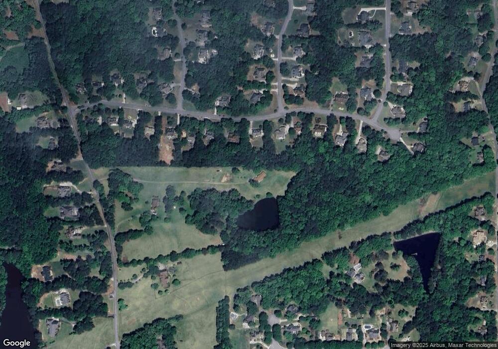
Map
Nearby Homes
- 215 Ashley Forest Dr
- 245 Ashley Forest Dr
- 250 Ashley Forest Dr
- 145 Butterfield Ln
- 1333 Sandy Creek Rd
- 551 Lees Mill Rd
- 195 Blackberry Run
- 90 Mckown Rd
- 185 Lees Overlook
- 114 Lees Lake Rd
- 270 Annelise Park Dr
- 135 Farm Ln
- 235 Lees Lake Rd
- 125 Sir Lancelot Ct
- 227 Oak Ridge Trail
- 203 Fleetwood Dr
- 170 Rolison Way
- The Sheldon Plan at Town at Trilith - Village
- Palmyra Plan at Town at Trilith - Terrace
- Palmyra Plan at Town at Trilith - Terrace
- 195 Ashley Forest Dr
- 175 Ashley Forest Dr
- 185 Ashley Forest Dr
- 191 Sams Dr
- 0 Ashley Forest Dr Unit 8136568
- 0 Ashley Forest Dr Unit 8691697
- 0 Ashley Forest Dr Unit 8748273
- 0 Ashley Forest Dr Unit 8782896
- 0 Ashley Forest Dr Unit 7064833
- 0 Ashley Forest Dr Unit 7222575
- 0 Ashley Forest Dr Unit 7518461
- 165 Ashley Forest Dr
- 205 Ashley Forest Dr
- 100 Eagles Nest Dr Unit 31
- 100 Eagles Nest Dr
- 155 Ashley Forest Dr
- 160 Ashley Forest Dr
- 225 Ashley Forest Dr
- 225 Ashley Forest Dr Unit 74
- 105 Eagles Nest Dr