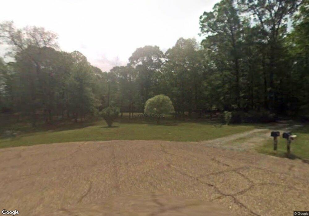
207 Sandy Hill Cir West Monroe, LA 71292
Estimated Value: $297,394 - $353,000
3
Beds
3
Baths
4,090
Sq Ft
$78/Sq Ft
Est. Value
About This Home
This home is located at 207 Sandy Hill Cir, West Monroe, LA 71292 and is currently estimated at $317,849, approximately $77 per square foot. 207 Sandy Hill Cir is a home located in Ouachita Parish with nearby schools including Woodlawn Elementary School, Woodlawn Middle School, and West Ouachita High School.
Ownership History
Date
Name
Owned For
Owner Type
Purchase Details
Closed on
Feb 20, 2009
Sold by
Mcdonald Dennis A and Mcdonald Rhonda L
Bought by
Debs Laird Odis
Current Estimated Value
Home Financials for this Owner
Home Financials are based on the most recent Mortgage that was taken out on this home.
Original Mortgage
$183,000
Outstanding Balance
$115,430
Interest Rate
5.06%
Mortgage Type
Unknown
Estimated Equity
$202,419
Create a Home Valuation Report for This Property
The Home Valuation Report is an in-depth analysis detailing your home's value as well as a comparison with similar homes in the area
Home Values in the Area
Average Home Value in this Area
Purchase History
| Date | Buyer | Sale Price | Title Company |
|---|---|---|---|
| Debs Laird Odis | $180,000 | None Available |
Source: Public Records
Mortgage History
| Date | Status | Borrower | Loan Amount |
|---|---|---|---|
| Open | Debs Laird Odis | $183,000 |
Source: Public Records
Tax History Compared to Growth
Tax History
| Year | Tax Paid | Tax Assessment Tax Assessment Total Assessment is a certain percentage of the fair market value that is determined by local assessors to be the total taxable value of land and additions on the property. | Land | Improvement |
|---|---|---|---|---|
| 2024 | $1,503 | $23,919 | $4,300 | $19,619 |
| 2023 | $1,522 | $22,410 | $4,300 | $18,110 |
| 2022 | $2,003 | $22,410 | $4,300 | $18,110 |
| 2021 | $2,028 | $22,574 | $4,300 | $18,274 |
| 2020 | $2,028 | $22,574 | $4,300 | $18,274 |
| 2019 | $1,868 | $20,859 | $4,300 | $16,559 |
| 2018 | $1,196 | $20,859 | $4,300 | $16,559 |
| 2017 | $1,868 | $20,695 | $4,300 | $16,395 |
| 2016 | $1,867 | $18,000 | $2,670 | $15,330 |
| 2015 | $938 | $18,000 | $2,670 | $15,330 |
| 2014 | $938 | $18,000 | $2,670 | $15,330 |
| 2013 | $935 | $18,000 | $2,670 | $15,330 |
Source: Public Records
Map
Nearby Homes
- 184 S Leo Ln
- 175 S Leo Ln
- 146 S Leo Ln
- 212 S Leo Ln
- 00 Bay Leaf Dr
- 2164 Louisiana 557
- 111 Frost Tower Rd
- 2104 Red Cut Rd
- 1198 Philpot Rd Unit 1196 Philpot Road
- 000 Jimmy Graham Loop
- 000 William Harris Rd Unit 1.365 Acres
- 0 Roberson Rd Unit 206166
- 2017 Philpot Rd
- Red Cut Road Lot Unit Wp001
- 0 Ed Rutledge Rd Unit 215652
- 1147 Frost Tower Rd
- 6347 Jonesboro Rd
- 000 Lot 2 Watson School Rd
- 000 Lot 3 Watson School Rd
- 000 Lot 4 Watson School Rd
- 199 Sandy Hill Cir
- 206 Sandy Hill Cir
- 568 Sandy Hill Rd
- 192 Sandy Hill Cir
- 149 Sandy Hill Cir
- 116 Sandy Hill Cir
- 135 Sandy Hill Cir
- 564 Sandy Hill Rd
- 562 Sandy Hill Rd
- 118 Sandy Hill Cir
- 190 Ponderosa Rd
- 500 Elliott Rd
- 156 Ponderosa Rd
- 231 Ponderosa Rd
- 480 Elliott Rd
- 601 Sandy Hill Rd
- 153 Keith Cir
- 456 Elliott Rd
- 116 Emerald Dr
- 479 Elliott Rd