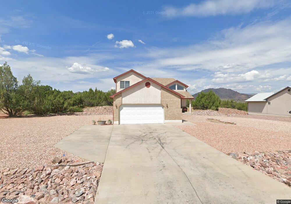
207 Savage Loop Unit 73 Cañon City, CO 81212
Estimated Value: $494,000 - $507,000
4
Beds
3
Baths
3,205
Sq Ft
$157/Sq Ft
Est. Value
About This Home
This home is located at 207 Savage Loop Unit 73, Cañon City, CO 81212 and is currently estimated at $501,763, approximately $156 per square foot. 207 Savage Loop Unit 73 is a home located in Fremont County with nearby schools including Lincoln School of Science & Technology, Canon City Middle School, and Canon City High School.
Ownership History
Date
Name
Owned For
Owner Type
Purchase Details
Closed on
Dec 19, 2011
Sold by
Gilbert Cynthia K
Bought by
Gilbert Cynthia K and Gilbert Rex L
Current Estimated Value
Purchase Details
Closed on
Mar 17, 2005
Sold by
Gilbert Cynthia K and Gilbert Rex L
Bought by
Gilbert Cynthia K
Purchase Details
Closed on
Oct 1, 1999
Sold by
Oakwood Building & Dev Co
Bought by
Gilbert
Purchase Details
Closed on
Jun 15, 1999
Sold by
Tezak
Bought by
Oakwood Building & Dev Co
Purchase Details
Closed on
Apr 1, 1997
Sold by
Tezak
Bought by
Tezak
Create a Home Valuation Report for This Property
The Home Valuation Report is an in-depth analysis detailing your home's value as well as a comparison with similar homes in the area
Home Values in the Area
Average Home Value in this Area
Purchase History
| Date | Buyer | Sale Price | Title Company |
|---|---|---|---|
| Gilbert Cynthia K | -- | None Available | |
| Gilbert Cynthia K | -- | None Available | |
| Gilbert | $156,800 | -- | |
| Oakwood Building & Dev Co | $20,700 | -- | |
| Tezak | -- | -- |
Source: Public Records
Tax History Compared to Growth
Tax History
| Year | Tax Paid | Tax Assessment Tax Assessment Total Assessment is a certain percentage of the fair market value that is determined by local assessors to be the total taxable value of land and additions on the property. | Land | Improvement |
|---|---|---|---|---|
| 2024 | $1,806 | $30,778 | $0 | $0 |
| 2023 | $1,806 | $27,093 | $0 | $0 |
| 2022 | $2,223 | $25,610 | $0 | $0 |
| 2021 | $2,228 | $26,347 | $0 | $0 |
| 2020 | $1,825 | $21,721 | $0 | $0 |
| 2019 | $1,802 | $21,721 | $0 | $0 |
| 2018 | $1,911 | $22,461 | $0 | $0 |
| 2017 | $1,779 | $22,461 | $0 | $0 |
| 2016 | $1,586 | $21,670 | $0 | $0 |
| 2015 | $1,583 | $21,670 | $0 | $0 |
| 2012 | $1,350 | $19,392 | $2,786 | $16,606 |
Source: Public Records
Map
Nearby Homes
- 207 Savage Loop
- 265 Pelage Ct
- 200 Wolf Cub Trail
- 206 Wolf Cub Trail
- TBD Forge Rd
- 1751 Forge Rd
- 133 Blue Grouse Dr
- 121 Mourning Dove Dr
- 29 Kyndra Ct
- 159 Blue Grouse Dr
- 98 Wild Rose Dr
- TBD Wild Rose Dr
- 58 Wild Rose Dr
- 105 Bobwhite Loop
- 123 Wild Rose Dr
- 147 Mourning Dove Dr
- 46 Wild Rose Dr
- 34 Wild Rose Dr
- 311 Bellows Ct
- 193 Savage Loop
- 225 Savage Loop
- 204 Savage Loop
- 204 Savage Loop Unit 66
- 239 Savage Loop
- 179 Savage Loop
- 182 Savage Loop
- 245 Wolf Cub Trail
- 239 Wolf Cub Trail
- 231 Wolf Cub Trail
- 183 Wolf Cub Trail
- 170 Savage Loop
- 167 Savage Loop
- 251 Pelage Ct
- 171 Wolf Cub Trail
- 223 Wolf Cub Trail
- 236 Wolf Cub Trail
- 244 Wolf Cub Trail
- 163 Savage Loop
- 255 Savage Loop