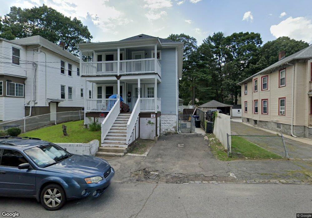
207 Savannah Ave Unit 2 Mattapan, MA 02126
Southern Mattapan NeighborhoodEstimated Value: $617,000 - $689,000
3
Beds
2
Baths
1,250
Sq Ft
$525/Sq Ft
Est. Value
About This Home
This home is located at 207 Savannah Ave Unit 2, Mattapan, MA 02126 and is currently estimated at $655,690, approximately $524 per square foot. 207 Savannah Ave Unit 2 is a home located in Suffolk County with nearby schools including KIPP Academy Boston Charter School, Boston Preparatory Charter Public School, and Berea Seventh-day Adventist Academy.
Ownership History
Date
Name
Owned For
Owner Type
Purchase Details
Closed on
Jan 10, 2017
Sold by
Simpson Brenda M Est
Bought by
Pereira Elbert and Pereira Rosario
Current Estimated Value
Home Financials for this Owner
Home Financials are based on the most recent Mortgage that was taken out on this home.
Original Mortgage
$559,520
Outstanding Balance
$459,906
Interest Rate
4.03%
Mortgage Type
FHA
Estimated Equity
$195,784
Purchase Details
Closed on
Aug 6, 2007
Sold by
Scholarship Simpson Brenda M
Bought by
Simpson Brenda M
Home Financials for this Owner
Home Financials are based on the most recent Mortgage that was taken out on this home.
Original Mortgage
$58,500
Interest Rate
6.73%
Create a Home Valuation Report for This Property
The Home Valuation Report is an in-depth analysis detailing your home's value as well as a comparison with similar homes in the area
Home Values in the Area
Average Home Value in this Area
Purchase History
| Date | Buyer | Sale Price | Title Company |
|---|---|---|---|
| Pereira Elbert | $400,000 | -- | |
| Simpson Brenda M | -- | -- |
Source: Public Records
Mortgage History
| Date | Status | Borrower | Loan Amount |
|---|---|---|---|
| Open | Pereira Elbert | $559,520 | |
| Previous Owner | Simpson Brenda M | $58,500 |
Source: Public Records
Tax History Compared to Growth
Tax History
| Year | Tax Paid | Tax Assessment Tax Assessment Total Assessment is a certain percentage of the fair market value that is determined by local assessors to be the total taxable value of land and additions on the property. | Land | Improvement |
|---|---|---|---|---|
| 2025 | $5,916 | $510,900 | $198,100 | $312,800 |
| 2024 | $5,398 | $495,200 | $176,400 | $318,800 |
| 2023 | $5,018 | $467,200 | $166,400 | $300,800 |
| 2022 | $5,083 | $467,200 | $166,400 | $300,800 |
| 2021 | $4,532 | $424,700 | $151,300 | $273,400 |
| 2019 | $3,795 | $360,100 | $105,000 | $255,100 |
| 2018 | $3,370 | $321,600 | $105,000 | $216,600 |
| 2017 | $3,274 | $309,200 | $105,000 | $204,200 |
| 2016 | $3,092 | $281,100 | $105,000 | $176,100 |
Source: Public Records
Map
Nearby Homes
- 839-843 Cummins Hwy
- 231 Itasca St
- 770 Cummins Hwy Unit 1
- 770 Cummins Hwy Unit 22
- 10 Brockton St
- 34 Ridlon Rd
- 179 Hebron St
- 72 Livermore St
- 95 Woodhaven St
- 100 Itasca St
- 265 Hebron St
- 20 Monterey Ave
- 90 Hollingsworth St
- 60 and 64 Monterey Ave
- 14-14R Kennebec St
- 116 Almont St
- 48-50 Rockdale St
- 23 Caton St
- 0 Tina Ave
- 7 Winborough St
- 207 Savannah Ave
- 209 Savannah Ave
- 205 Savannah Ave
- 203 Savannah Ave
- 203 Savannah Ave Unit 1
- 249 Savannah Ave
- 206 Savannah Ave
- 220 Savannah Ave
- 260 Itasca St
- 199 Savannah Ave Unit 201
- 250 Savannah Ave
- 258 Itasca St
- 268 Itasca St
- 204 Savannah Ave
- 250 Itasca St
- 272 Itasca St
- 700 Cummins Hwy Unit Cummins Highway
- 700 Cummins Hwy
- 700 Cummins Hwy Unit 10
- 700 Cummins Hwy Unit 7