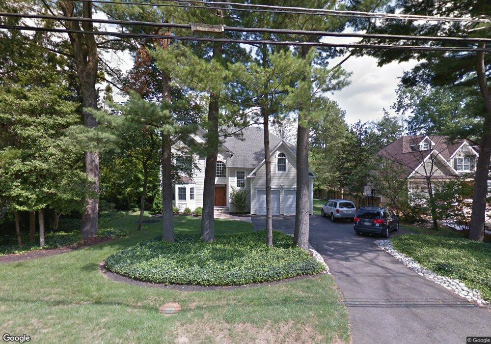
207 Snowden Ln Princeton, NJ 08540
Estimated Value: $2,214,000 - $2,394,000
4
Beds
4
Baths
4,328
Sq Ft
$526/Sq Ft
Est. Value
About This Home
This home is located at 207 Snowden Ln, Princeton, NJ 08540 and is currently estimated at $2,275,859, approximately $525 per square foot. 207 Snowden Ln is a home located in Mercer County with nearby schools including Littlebrook Elementary School, Princeton Middle School, and Princeton High School.
Ownership History
Date
Name
Owned For
Owner Type
Purchase Details
Closed on
Aug 26, 2010
Sold by
Lee Paul Po Yuan and Chang Ker Ming
Bought by
Bank Scott and Bank Kathleen
Current Estimated Value
Home Financials for this Owner
Home Financials are based on the most recent Mortgage that was taken out on this home.
Original Mortgage
$911,250
Interest Rate
4.05%
Mortgage Type
Purchase Money Mortgage
Purchase Details
Closed on
May 9, 2008
Sold by
Carlough Ruth M
Bought by
Lee Paul P and Chang Ker M
Purchase Details
Closed on
Oct 22, 1998
Sold by
Stys Michael
Bought by
Buzdygan Danuta
Create a Home Valuation Report for This Property
The Home Valuation Report is an in-depth analysis detailing your home's value as well as a comparison with similar homes in the area
Home Values in the Area
Average Home Value in this Area
Purchase History
| Date | Buyer | Sale Price | Title Company |
|---|---|---|---|
| Bank Scott | $1,215,000 | None Available | |
| Lee Paul P | $445,000 | -- | |
| Buzdygan Danuta | $60,000 | -- |
Source: Public Records
Mortgage History
| Date | Status | Borrower | Loan Amount |
|---|---|---|---|
| Closed | Bank Scott | $911,250 |
Source: Public Records
Tax History Compared to Growth
Tax History
| Year | Tax Paid | Tax Assessment Tax Assessment Total Assessment is a certain percentage of the fair market value that is determined by local assessors to be the total taxable value of land and additions on the property. | Land | Improvement |
|---|---|---|---|---|
| 2025 | $31,208 | $1,171,900 | $392,000 | $779,900 |
| 2024 | $29,462 | $1,171,900 | $392,000 | $779,900 |
| 2023 | $29,462 | $1,171,900 | $392,000 | $779,900 |
| 2022 | $28,501 | $1,171,900 | $392,000 | $779,900 |
| 2021 | $28,583 | $1,171,900 | $392,000 | $779,900 |
| 2020 | $28,360 | $1,171,900 | $392,000 | $779,900 |
| 2019 | $27,797 | $1,171,900 | $392,000 | $779,900 |
| 2018 | $27,329 | $1,171,900 | $392,000 | $779,900 |
| 2017 | $26,954 | $1,171,900 | $392,000 | $779,900 |
| 2016 | $26,532 | $1,171,900 | $392,000 | $779,900 |
| 2015 | $25,922 | $1,171,900 | $392,000 | $779,900 |
| 2014 | $25,606 | $1,171,900 | $392,000 | $779,900 |
Source: Public Records
Map
Nearby Homes
- 75 Clover Ln
- 77 Clearview Ave
- 380 Franklin Ave
- 14 Wheatsheaf Ln
- 67 Locust Ln
- 267 Hamilton Ave
- 50 Broadripple Dr
- 428 Nassau St
- 532 Kingston Rd
- 16 Cameron Ct
- 14 Cameron Ct
- 201 Grover Ave
- 638 Kingston Rd
- 248 Hawthorne Ave
- 1 Markham Rd Unit 2C
- 1 Markham Rd Unit 1D
- 569 Riverside Dr
- 569&567 Riverside Dr
- 567 Riverside Dr
- 8 Governors Ln