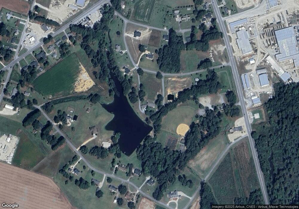
207 Sunset St Newton Grove, NC 28366
Estimated Value: $316,000 - $615,557
3
Beds
2
Baths
2,588
Sq Ft
$165/Sq Ft
Est. Value
About This Home
This home is located at 207 Sunset St, Newton Grove, NC 28366 and is currently estimated at $427,186, approximately $165 per square foot. 207 Sunset St is a home located in Sampson County with nearby schools including Hobbton Elementary School, Hobbton Middle School, and Hobbton High School.
Ownership History
Date
Name
Owned For
Owner Type
Purchase Details
Closed on
Jul 7, 2025
Sold by
Smith Victor Lee and Smith Penny L
Bought by
Jackson Susan Lewis
Current Estimated Value
Purchase Details
Closed on
Feb 10, 2005
Sold by
Smith Victor Lee and Smith Jackie
Bought by
Smith Victor Lee
Home Financials for this Owner
Home Financials are based on the most recent Mortgage that was taken out on this home.
Original Mortgage
$140,000
Interest Rate
5%
Mortgage Type
Adjustable Rate Mortgage/ARM
Create a Home Valuation Report for This Property
The Home Valuation Report is an in-depth analysis detailing your home's value as well as a comparison with similar homes in the area
Home Values in the Area
Average Home Value in this Area
Purchase History
| Date | Buyer | Sale Price | Title Company |
|---|---|---|---|
| Jackson Susan Lewis | -- | None Listed On Document | |
| Jackson Susan Lewis | -- | None Listed On Document | |
| Smith Victor Lee | $175,000 | -- |
Source: Public Records
Mortgage History
| Date | Status | Borrower | Loan Amount |
|---|---|---|---|
| Previous Owner | Smith Victor Lee | $140,000 |
Source: Public Records
Tax History Compared to Growth
Tax History
| Year | Tax Paid | Tax Assessment Tax Assessment Total Assessment is a certain percentage of the fair market value that is determined by local assessors to be the total taxable value of land and additions on the property. | Land | Improvement |
|---|---|---|---|---|
| 2025 | $5,575 | $513,832 | $183,646 | $330,186 |
| 2024 | $5,267 | $513,832 | $183,646 | $330,186 |
| 2023 | $3,369 | $274,999 | $75,994 | $199,005 |
| 2022 | $2,269 | $274,999 | $75,994 | $199,005 |
| 2021 | $2,269 | $274,999 | $75,994 | $199,005 |
| 2020 | $2,269 | $274,999 | $75,994 | $199,005 |
| 2019 | $2,269 | $274,999 | $0 | $0 |
| 2018 | $2,158 | $261,530 | $0 | $0 |
| 2017 | $2,158 | $261,530 | $0 | $0 |
| 2016 | $2,171 | $261,530 | $0 | $0 |
| 2015 | $2,171 | $261,530 | $0 | $0 |
| 2014 | $2,171 | $261,530 | $0 | $0 |
Source: Public Records
Map
Nearby Homes
- 0 Hobbton Hwy Unit 100510708
- 520 Fayetteville St
- 10455 U S 701 Hwy
- 0 Main St
- 410 E Barefoot Rd
- 1676 Smithfield Hwy
- 3092 Harnett-Dunn Hwy
- 10263 U S 701 Hwy
- 352 Old Crow Rd
- 904 Langston Rd
- 13015 Hobbton Hwy
- 00 Trail End Ln
- 00 Trail End Ln Unit LotWP001
- 636 Tart Town Rd
- 0 Mill Creek Church Rd
- 88 Holiday Ln
- Tract 1 Tart Town Rd
- Tract One Tart Town Rd
- 0 Suttontown Rd
- 762 Share Cake Rd
- 215 Sunset St
- 208 Sunset St
- 240 Bizzell St
- 208 Bizzell St
- 203 W Weeksdale St
- 225 Sunset St
- 216 Bizzell St
- 111 W Weeksdale Dr
- 200 Bizzell St
- 256 Bizzell St
- 142 S Bizzell St
- 217 Bizzell St
- 110 W Weeksdale Dr
- 209 Bizzell St
- 401 Clinton St
- 225 Bizzell St
- 233 Bizzell St
- 251 Bizzell St
- 418 Fayetteville St
- 313 Clinton St
