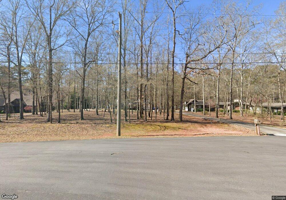
207 Thomas Dr Lagrange, GA 30240
Estimated Value: $452,000 - $596,000
3
Beds
2
Baths
2,532
Sq Ft
$205/Sq Ft
Est. Value
About This Home
This home is located at 207 Thomas Dr, Lagrange, GA 30240 and is currently estimated at $518,763, approximately $204 per square foot. 207 Thomas Dr is a home located in Troup County with nearby schools including Ethel W. Kight Elementary School, Hollis Hand Elementary School, and Franklin Forest Elementary School.
Ownership History
Date
Name
Owned For
Owner Type
Purchase Details
Closed on
Aug 27, 2002
Sold by
Donald Moffett
Bought by
Moffett Tamara
Current Estimated Value
Purchase Details
Closed on
Oct 9, 2001
Sold by
Christopher M Peeler
Bought by
Donald Moffett
Purchase Details
Closed on
Apr 30, 1998
Sold by
Pratt Robert and Pratt Rose B
Bought by
Christopher M Peeler
Purchase Details
Closed on
Aug 15, 1990
Sold by
Platt Robert G and Platt Rose B
Bought by
Pratt Robert and Pratt Rose B
Purchase Details
Closed on
Aug 14, 1990
Sold by
Platt Robert G and Platt Rose B
Bought by
Platt Robert G and Platt Rose B
Purchase Details
Closed on
Jun 1, 1985
Sold by
Lillian Thompson
Bought by
Platt Robert G and Platt Rose B
Purchase Details
Closed on
Apr 18, 1979
Sold by
John Wyatt Etal
Bought by
Lillian Thompson
Purchase Details
Closed on
Apr 17, 1979
Bought by
John Wyatt Etal
Purchase Details
Closed on
Mar 2, 1978
Create a Home Valuation Report for This Property
The Home Valuation Report is an in-depth analysis detailing your home's value as well as a comparison with similar homes in the area
Home Values in the Area
Average Home Value in this Area
Purchase History
| Date | Buyer | Sale Price | Title Company |
|---|---|---|---|
| Moffett Tamara | -- | -- | |
| Donald Moffett | $225,000 | -- | |
| Christopher M Peeler | $159,000 | -- | |
| Pratt Robert | -- | -- | |
| Platt Robert G | -- | -- | |
| Platt Robert G | $24,500 | -- | |
| Lillian Thompson | $18,000 | -- | |
| John Wyatt Etal | -- | -- | |
| -- | -- | -- |
Source: Public Records
Tax History Compared to Growth
Tax History
| Year | Tax Paid | Tax Assessment Tax Assessment Total Assessment is a certain percentage of the fair market value that is determined by local assessors to be the total taxable value of land and additions on the property. | Land | Improvement |
|---|---|---|---|---|
| 2024 | $5,436 | $201,320 | $45,000 | $156,320 |
| 2023 | $4,395 | $3,483 | $0 | $3,483 |
| 2022 | $4,799 | $173,920 | $30,000 | $143,920 |
| 2021 | $4,518 | $151,800 | $34,000 | $117,800 |
| 2020 | $4,518 | $151,800 | $34,000 | $117,800 |
| 2019 | $4,466 | $150,080 | $34,000 | $116,080 |
| 2018 | $4,526 | $150,080 | $34,000 | $116,080 |
| 2017 | $4,426 | $146,760 | $34,000 | $112,760 |
Source: Public Records
Map
Nearby Homes
- 104 Dogwood Point
- 226 Linda Ln
- 103 Dogwood Ct
- 709 Vernon Ferry Rd
- 4004 White Oak Ln
- 0 Deming St Unit 10550189
- LOT 4 Angela Dr
- E Angela Dr
- 135 Planters Ridge Dr
- 0 Antioch Rd Unit 10656005
- 124 Foxdale Dr
- 40 River Point Dr
- 200 Cheyenne Dr
- 474 Newton Rd
- 208 Highland Trail
- 102 Foxdale Dr
- 190 Hill Rd
- 243 Oak Dr
- 101 Ivy Springs Dr
- 119 Plymouth Dr
- 209 Thomas Dr
- 205 Thomas Dr
- 203 Thomas Dr
- 210 Thomas Dr
- 201 Thomas Dr
- 204 Thomas Dr
- 208 Thomas Dr
- 209 Lakeshore Way
- 108 Dogwood Point
- 202 Thomas Dr
- 106 Dogwood Point
- 200 Thomas Dr
- 109 Dogwood Point
- 210 Lakeshore Way
- 110 Thomas Dr
- 205 Lakeshore Way
- 105 Dogwood Point
- 236 Linda Ln
- 208 Lakeshore Way
- 109 Thomas Dr