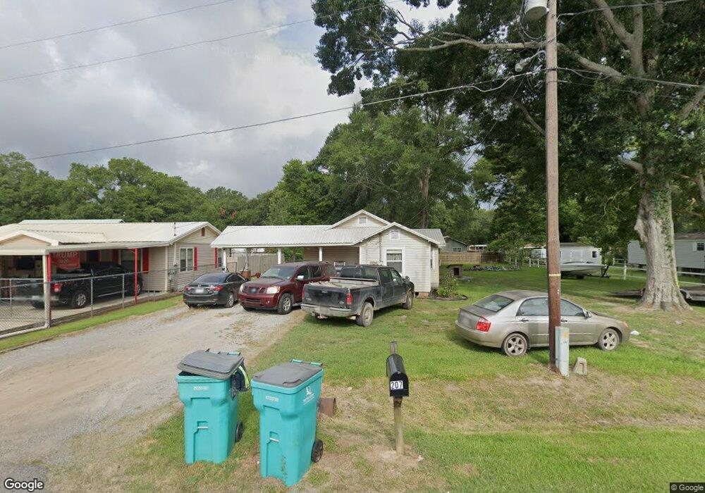
207 Threatt St Eunice, LA 70535
Estimated Value: $65,512 - $94,000
2
Beds
1
Bath
1,000
Sq Ft
$82/Sq Ft
Est. Value
About This Home
This home is located at 207 Threatt St, Eunice, LA 70535 and is currently estimated at $82,378, approximately $82 per square foot. 207 Threatt St is a home located in St. Landry Parish with nearby schools including Glendale Elementary School, Central Middle School, and Eunice Junior High School.
Ownership History
Date
Name
Owned For
Owner Type
Purchase Details
Closed on
Mar 19, 2010
Sold by
Secure Foundation, Inc and Darbonne Bryan Keith
Bought by
Bensinger Antoine Roy
Current Estimated Value
Home Financials for this Owner
Home Financials are based on the most recent Mortgage that was taken out on this home.
Original Mortgage
$43,500
Outstanding Balance
$28,860
Interest Rate
5%
Estimated Equity
$53,518
Create a Home Valuation Report for This Property
The Home Valuation Report is an in-depth analysis detailing your home's value as well as a comparison with similar homes in the area
Purchase History
| Date | Buyer | Sale Price | Title Company |
|---|---|---|---|
| Bensinger Antoine Roy | $41,500 | -- |
Source: Public Records
Mortgage History
| Date | Status | Borrower | Loan Amount |
|---|---|---|---|
| Open | Bensinger Antoine Roy | $43,500 |
Source: Public Records
Tax History
| Year | Tax Paid | Tax Assessment Tax Assessment Total Assessment is a certain percentage of the fair market value that is determined by local assessors to be the total taxable value of land and additions on the property. | Land | Improvement |
|---|---|---|---|---|
| 2024 | $3 | $6,920 | $1,580 | $5,340 |
| 2023 | -- | $6,760 | $1,580 | $5,180 |
| 2022 | $327 | $6,760 | $1,580 | $5,180 |
| 2021 | $327 | $6,760 | $1,580 | $5,180 |
| 2020 | $327 | $5,970 | $790 | $5,180 |
| 2019 | $304 | $6,530 | $1,580 | $4,950 |
| 2018 | $306 | $5,740 | $790 | $4,950 |
| 2017 | $306 | $5,740 | $790 | $4,950 |
| 2015 | $300 | $6,420 | $1,520 | $4,900 |
| 2013 | -- | $6,420 | $1,520 | $4,900 |
Source: Public Records
Map
Nearby Homes
- 203 Threatt St
- 414 E Dean St
- 440 E Dean St
- 223 Threatt St
- 230 Faquetigue St
- 306 Lafayette Dr
- 327 Lafayette Dr
- 410 E Dean St
- 304 Faquetigue St
- 210 Threatt St
- 401 E Dean St
- 239 Threatt St
- 310 Faquetigue St
- 219 Faquetigue St
- 131 Threatt St
- 230 E Lafayette Ave
- 230 Lafayette Dr
- 129 Threatt St
- 121 Faquetigue St
- 223 Lafayette Dr
Your Personal Tour Guide
Ask me questions while you tour the home.