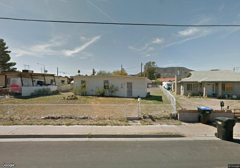
207 Tungsten St Henderson, NV 89015
Downtown Henderson NeighborhoodEstimated Value: $206,000 - $286,000
2
Beds
1
Bath
650
Sq Ft
$407/Sq Ft
Est. Value
About This Home
This home is located at 207 Tungsten St, Henderson, NV 89015 and is currently estimated at $264,834, approximately $407 per square foot. 207 Tungsten St is a home located in Clark County with nearby schools including Robert L Taylor Elementary School, B Mahlon Brown Academy of International Studies, and Foothill High School.
Ownership History
Date
Name
Owned For
Owner Type
Purchase Details
Closed on
Oct 2, 1996
Sold by
Maunu Virginia R and Maunu Herbert K
Bought by
Laporte Bonnie
Current Estimated Value
Home Financials for this Owner
Home Financials are based on the most recent Mortgage that was taken out on this home.
Original Mortgage
$43,967
Outstanding Balance
$2,835
Interest Rate
8.1%
Mortgage Type
FHA
Estimated Equity
$261,999
Create a Home Valuation Report for This Property
The Home Valuation Report is an in-depth analysis detailing your home's value as well as a comparison with similar homes in the area
Home Values in the Area
Average Home Value in this Area
Purchase History
| Date | Buyer | Sale Price | Title Company |
|---|---|---|---|
| Laporte Bonnie | -- | Fidelity National Title |
Source: Public Records
Mortgage History
| Date | Status | Borrower | Loan Amount |
|---|---|---|---|
| Open | Laporte Bonnie | $43,967 |
Source: Public Records
Tax History
| Year | Tax Paid | Tax Assessment Tax Assessment Total Assessment is a certain percentage of the fair market value that is determined by local assessors to be the total taxable value of land and additions on the property. | Land | Improvement |
|---|---|---|---|---|
| 2026 | $456 | $36,578 | $27,563 | $9,015 |
| 2025 | $422 | $30,989 | $22,050 | $8,939 |
| 2024 | $391 | $30,989 | $22,050 | $8,939 |
| 2023 | $391 | $31,495 | $23,450 | $8,045 |
| 2022 | $363 | $27,525 | $20,300 | $7,225 |
| 2021 | $336 | $27,000 | $20,300 | $6,700 |
| 2020 | $309 | $24,716 | $18,200 | $6,516 |
| 2019 | $290 | $19,588 | $13,300 | $6,288 |
| 2018 | $276 | $19,197 | $13,300 | $5,897 |
| 2017 | $260 | $16,344 | $10,500 | $5,844 |
| 2016 | $260 | $13,016 | $7,350 | $5,666 |
| 2015 | $258 | $10,400 | $4,900 | $5,500 |
| 2014 | $251 | $8,398 | $4,900 | $3,498 |
Source: Public Records
Map
Nearby Homes
- 211 W Atlantic Ave
- 234 W Basic Rd
- 203 W Pacific Ave
- 206 W Atlantic Ave
- 247 Tungsten St
- 254 W Basic Rd
- 119 Manganese St
- 119 E van Wagenen St
- 111 Copper St
- 126 Magnesium St
- 211 Viewmont Dr
- 1 S Water St
- 228 E van Wagenen St
- 3 Wyoming Ave
- 326 W Basic Rd
- 303 Tin St
- 39 E Pacific Ave
- 15 Washington Way
- 415 Blackridge Rd
- 120 E Rochell Dr
- 211 Tungsten St
- 203 Tungsten St
- 215 Tungsten St
- 206 W Basic Rd
- 210 W Basic Rd
- 206 Tungsten St
- 202 W Basic Rd
- 245 W Pacific Ave
- 219 Tungsten St
- 214 W Basic Rd
- 210 Tungsten St Unit 1
- 210 Tungsten St Unit 2
- 210 Tungsten St
- 210 Tungsten St Unit 3
- 210 Tungsten St Unit 3 - 1
- 210 Tungsten St Unit 6
- 210 Tungsten St Unit 4
- 210 Tungsten St Unit 5
- 227 W Pacific Ave
- 214 Tungsten St
Your Personal Tour Guide
Ask me questions while you tour the home.